Randos' photos

Here’s the official explanation:-

La légende locale de la chapelle de Rampon au Puycapel
recèle de nombreux secrets. En ce temps-là, vivait à la
ferme voisine de Lavialle un brave menuisier nommé
Jean Cantuel mais que l’on appelait parfois Rampon de
Galifaud. Un soir de Décembre 1879, celui-ci prétendit
avoir vu le Christ sur la colline. Le lendemain, il alla
consulter le Maire de Calvinet pour lui demander
l’autorisation de planter une croix sur le lieu de
l’apparition. Sans plus attendre, il commença à édifier
une chapelle et sa construction achevée, les habitants du
village et de nombreux visiteurs commencèrent à affluer
dans ce petit édifice qui n’a pourtant jamais été ouvert
au culte. Du Cantal, du Lot ou de l’Aveyron, on venait de
fort loin lorsqu’on souffrait de mal de dents, de gorge,
des jambes ou de rhumatismes et l’on repartait, dit-on,
guéri et soulagé.

1 Like

Thanks Mark. We’re presently sat in the waiting area of Norauto while discs and pads are changed. After that, hopefully all will be well. :slightly_smiling_face:

You walked much further - and probably higher - than us. The Morvan doesn’t have the same ancient feel as your area, although there are some very old buildings. I think this has been a very poor area in past times as well as now, although there are some spectacular buildings tucked away.

Thank you for this! Mal des jambes I can well imagine after such a climb.

2 Likes

This week’s walk was a new one, from Bagnac-sur-Céle in the SE corner of the Lot between Figeac and Maurs. Bagnac’s an unremarkable place, but every Bagnac signpost has mention of its pont médiéval and it’s where we started from. Like Bagnac, the pont is … not very remarkable,

Nevertheless, it reminded me of the fine, still much used mediaeval bridges of Durham City where I misspent a few years long ago… https://www.tripadvisor.com/Attractions-g190832-Activities-c47-t5-Durham_County_Durham_England.html.

Having climbed up from the river by a steep mediaeval track, we turned south, walking over the gently rolling plateau that lies between the Lot Valley to the south and the Celè. The landscape’s pretty pretty (think South Downs) but not very good for interesting photography. Fortunately came across this anti-establishment cow

Then a fine old grange lotoise. What’s not readily apparent is that they were often built on a sloping site with the principal entrance on the upper level

Le Chapeau, a local feature visible from afar that crops up in many of our local walks

Half way pit stop at abandoned farmhouse

Looks like the owner also abandoned his overalls…

A very weird, slightly sinister tree

Don’t normally like modern buildings made of this stuff, but loved the complementary colours in this simple photo

There was a lot of this sort of view…

And then possibly my favourite photo of the day

As soon as I saw this arch, I knew it was bogus

a) Because local farms didn’t have grand entrances,
and
b) It could not be the remains of a building that had stood on the site, because it woudln’t have had space or alignment with the buildings immediately behind. Instead it’s the entrance to an old grange that has been repurposed.

Good example of typical ‘unspoilt’ local house - ground floor cave, upper floor for people

Hmmm… bedroom? - Grab some zees? (not had an opportunity to use that phrase for a long time)

.Miniature horse trying to look monumental…

Finally Bagnac starts to reappear down below

A very gentle walk 12.5kms, but easy going and easy on the eye…

4 Likes

Thanks Mark, looks like a nice walk on a pleasant day.

1 Like

Managed another local walk this afternoon. Started off heading north up the Oxfordshire canal.

Eventually crossed the canal, then heading north east crossed over one of the 2 railway lines.

The next part zigzags through the countryside to a large viaduct.


There’s another ‘craphole farm’ on the far side of the viaduct, with dumped machinery and piles of rubbish, and like some of the other local farmers also running craphole farms, they have diverted the footpath away from their farm. At this point I could hear the M40 and see the tops of signs above the cutting, and eventually the trail passes through a tunnel complete with horses (there’s a few stables ++ around here).


The next part is a long concrete trail leading to Souldern.


Here I took a footpath running between the houses, finished at one end with an upright stone slab, as described before.


The old part of Souldern is pretty with some fine, well kept houses.


Walking out of the village, I came across a bus shelter used as a book exchange.

From this point it’s just a long slog on the road heading home, about 5k or so.


Passing over the motorway again.


And then views over the valley.


Finally back down to the village.


Total distance, around 11-12km.
Pics straight out of phone.

5 Likes

Thanks Toni,

Great to get such a detailed account that- gives sa good sense of the walk and its variety.

Thanks Mark. I find it hard to keep the number of photos down - this was 25 - and I left out about half of the ones I wanted to tell the story.

What boots are you wearing for this?

‘Corey’ shoes from Trespass - they’re a lightweight shoe with a goretex waterproof membrane (useful round here) that I bought last year to replace my Columbia shoes that had started to leak. I picked these because they fitted well and weren’t expensive. They’ve been good so far.

1 Like

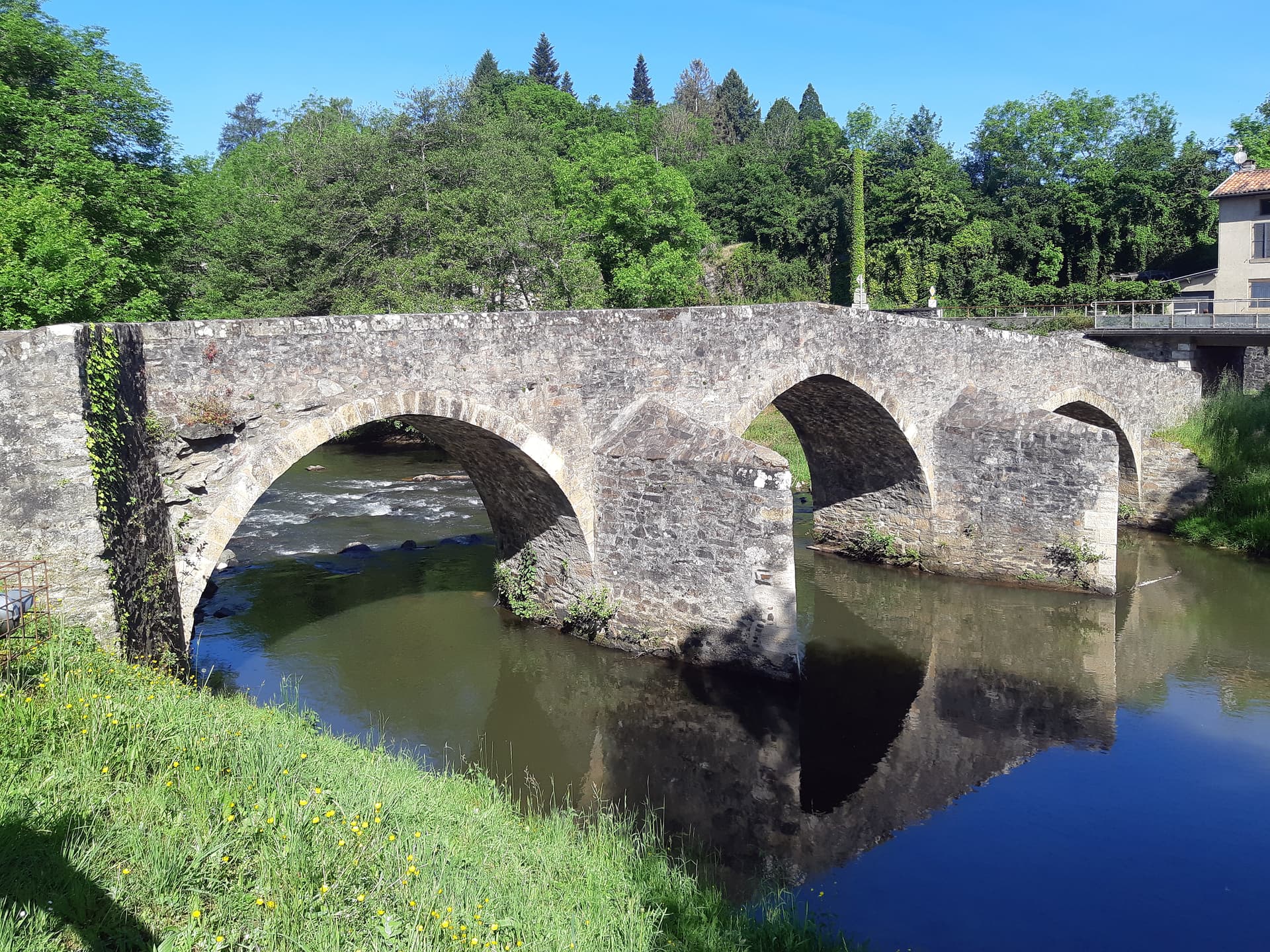
Didn’t post a walk last week because the group was walking from Le Fel, a picturesque village in the Cantal, very high above the Lot and one of the smallest appellations in France, where they’re growing on the edge of cultivation - some years the whole vendage is lost. Anyhow, although it’s a great walk and very photogenic,


However, by coincidence, we’d had dinner up there the previous evening on friends’ terrace cantilevered out over the gorge and I needed the day to prepare for our dinner party the following evening. If we’d done that walk, with driving an hour each way, the whole venture would’ve taken about six hours out of the day. So we just did a two hour walk to the auberge in the next village downstream.

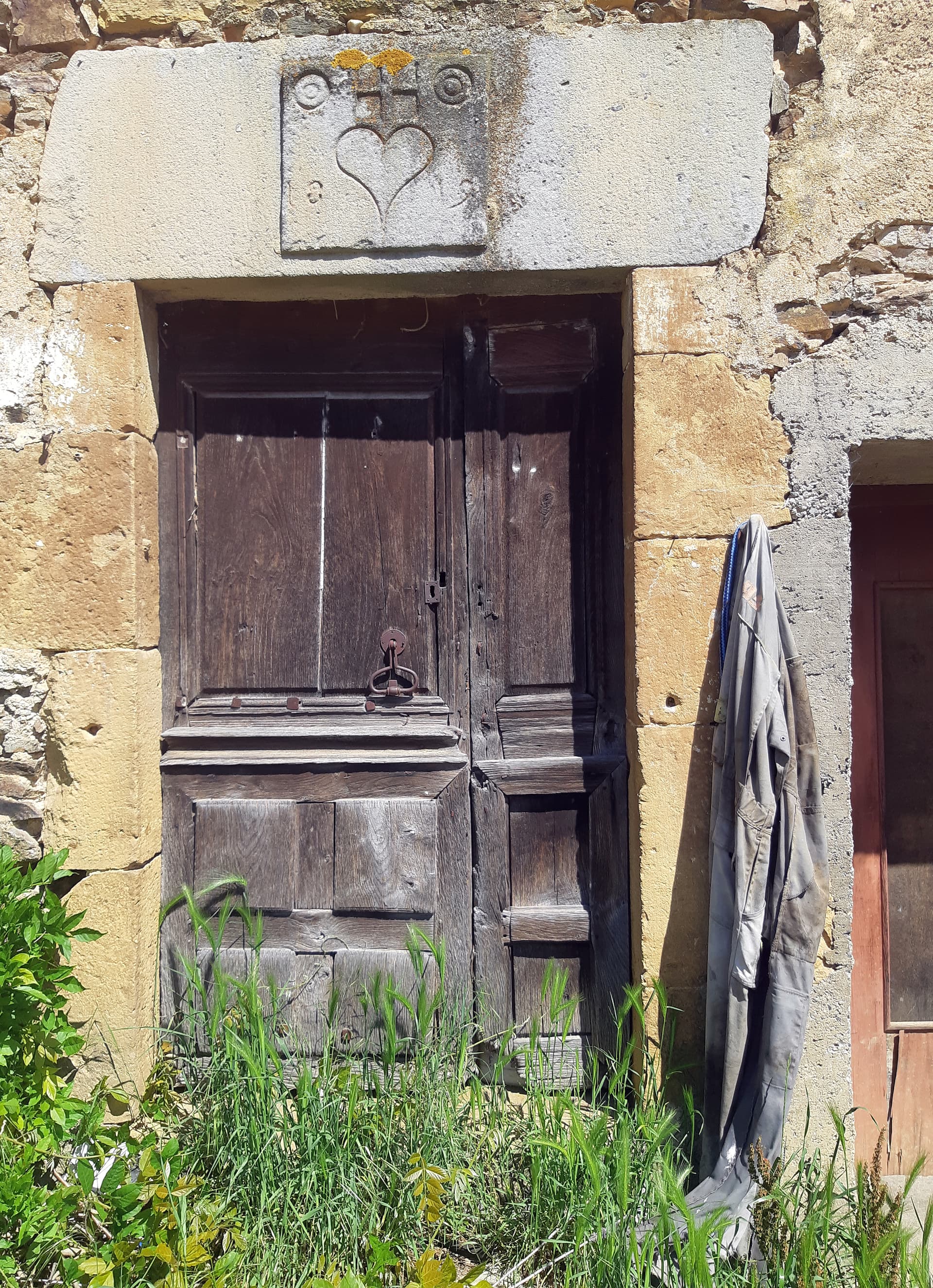
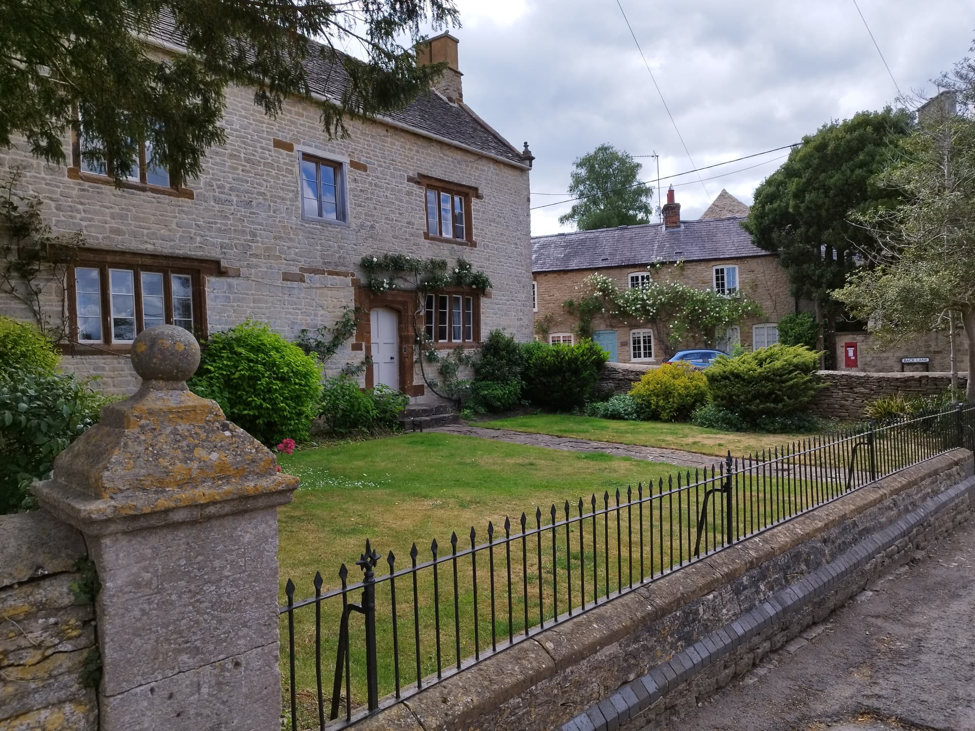
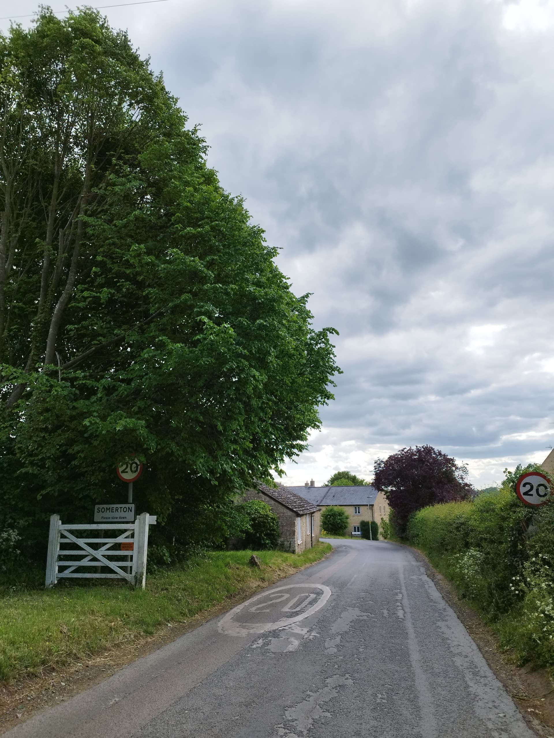
Today we were walking from St Santin de Maurs, which is not to be confused with St Santin d’Aveyron, even though to all intents they’re the same village. However, they’re actually not only in different departments, but different regions! Everyone except the locals, who take the distinction very seriously, finds it a bit silly.

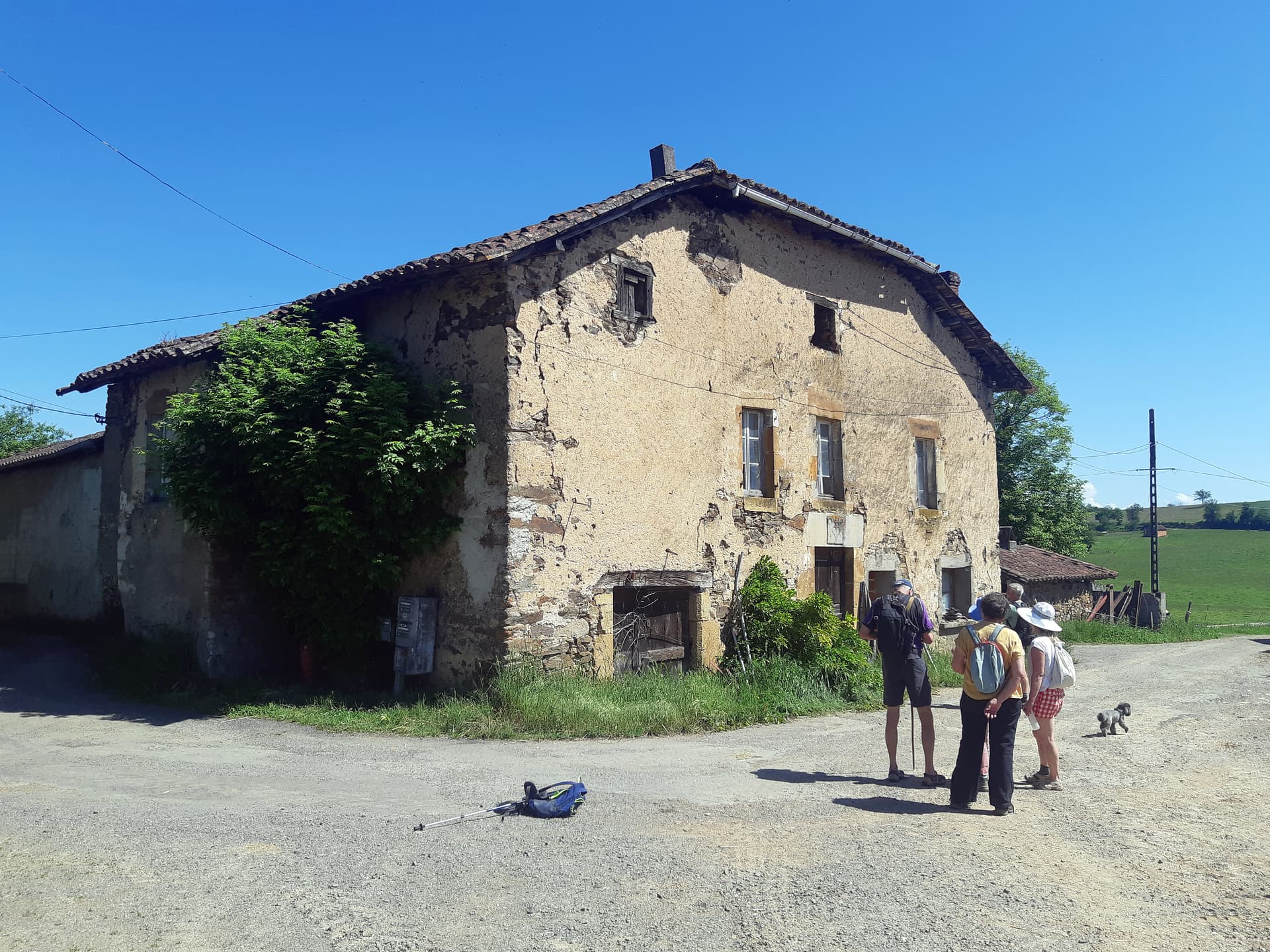
Today’s walk was the biggest group this year - 24 of us - ranks swelled by the arrival of a lot of Dutch maison secondaires and so we had a long walk group and a short walk group , the latter largely consisting of Dutch people who hadn’t walked up a hill for six months.


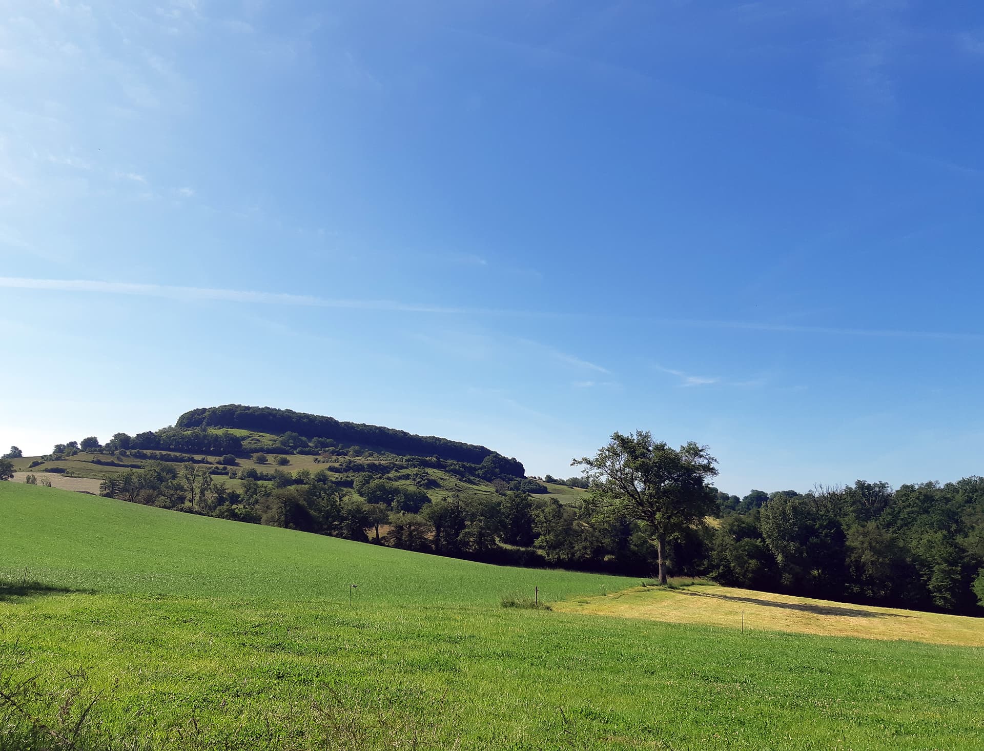
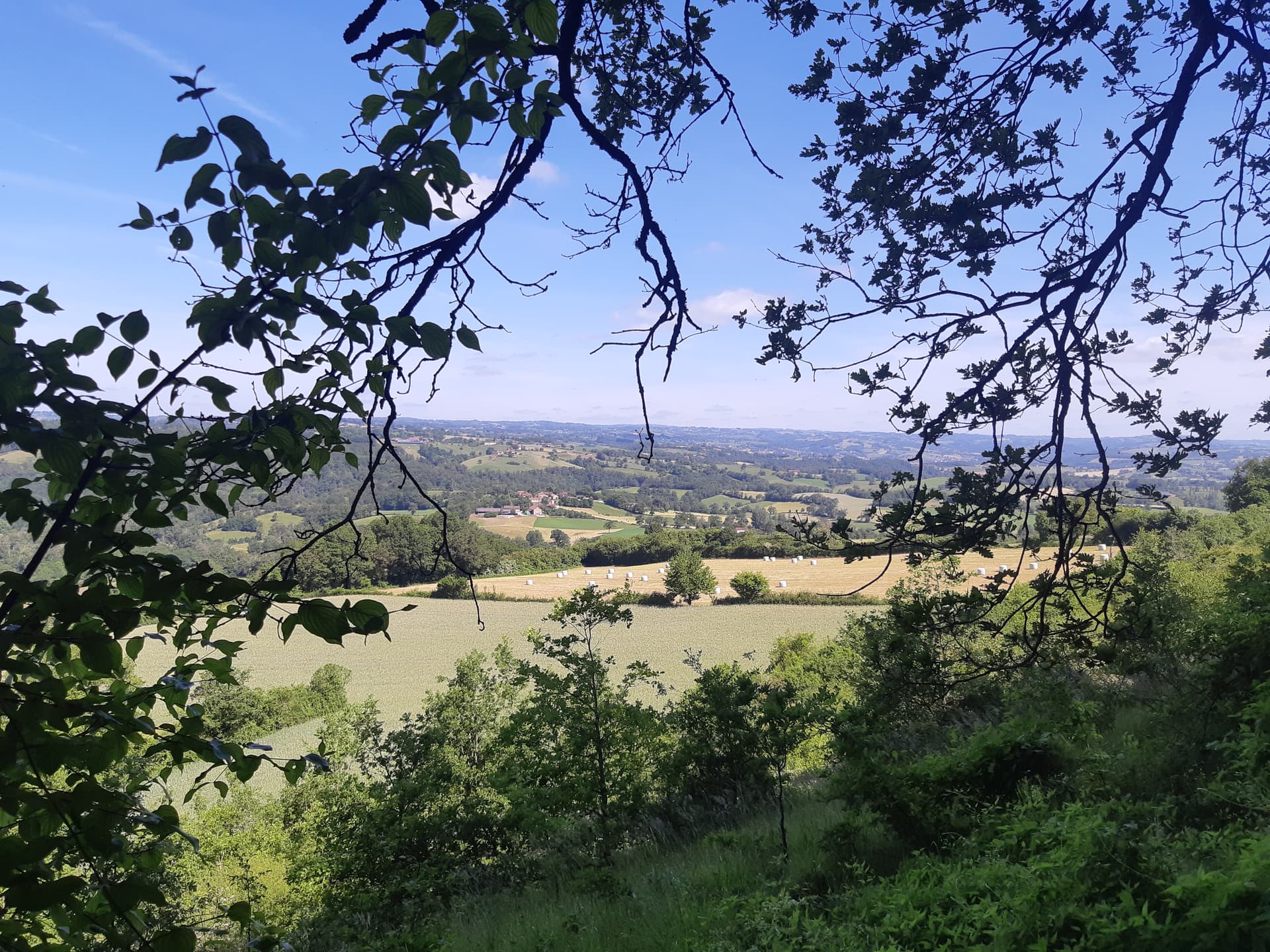
The groups would walk together around the top of the Chapeau (above), a wooded hill that has featured before because you can see if from virtually anywhere locally and then the groups would split. At least that was the plan…

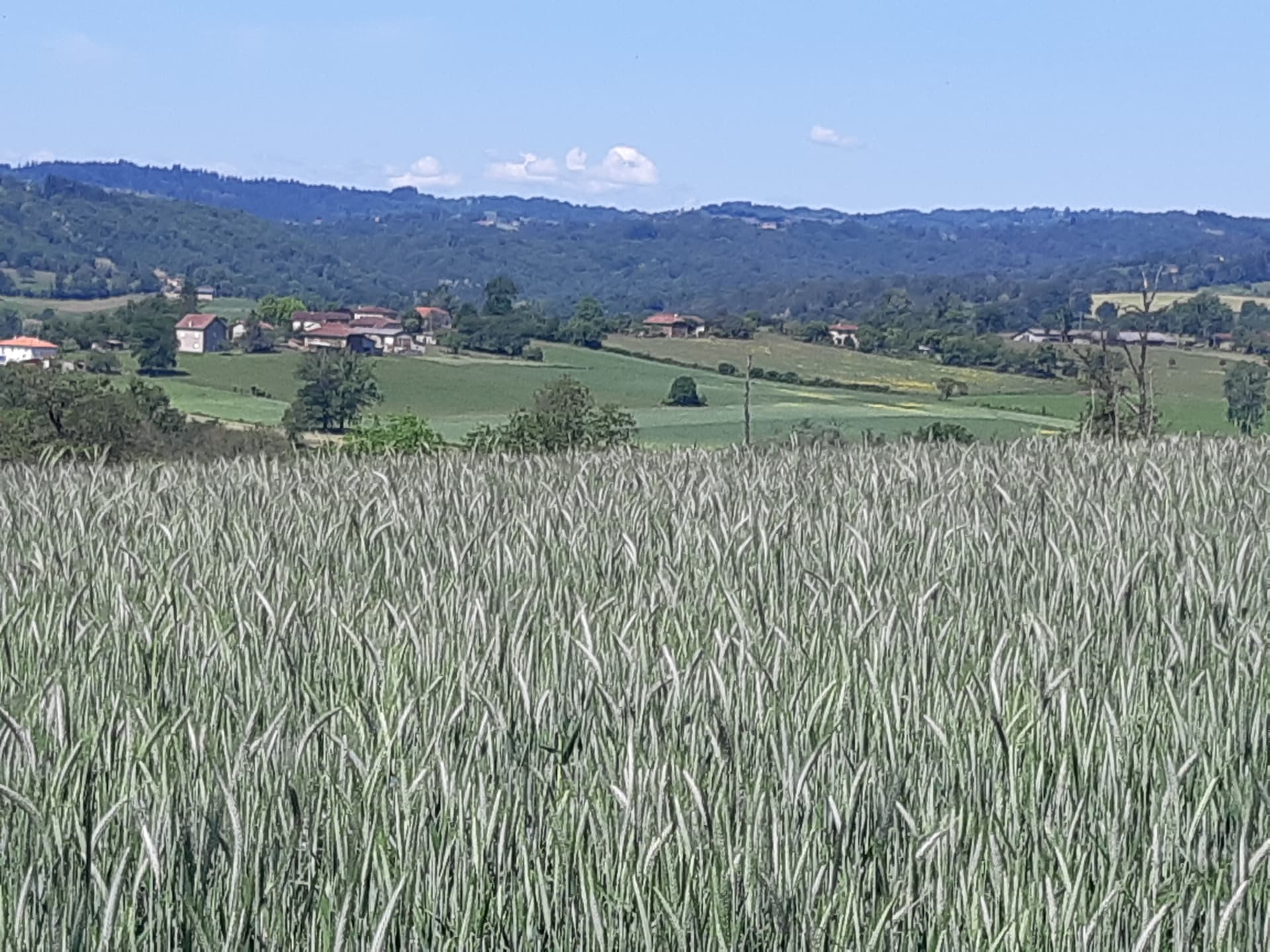
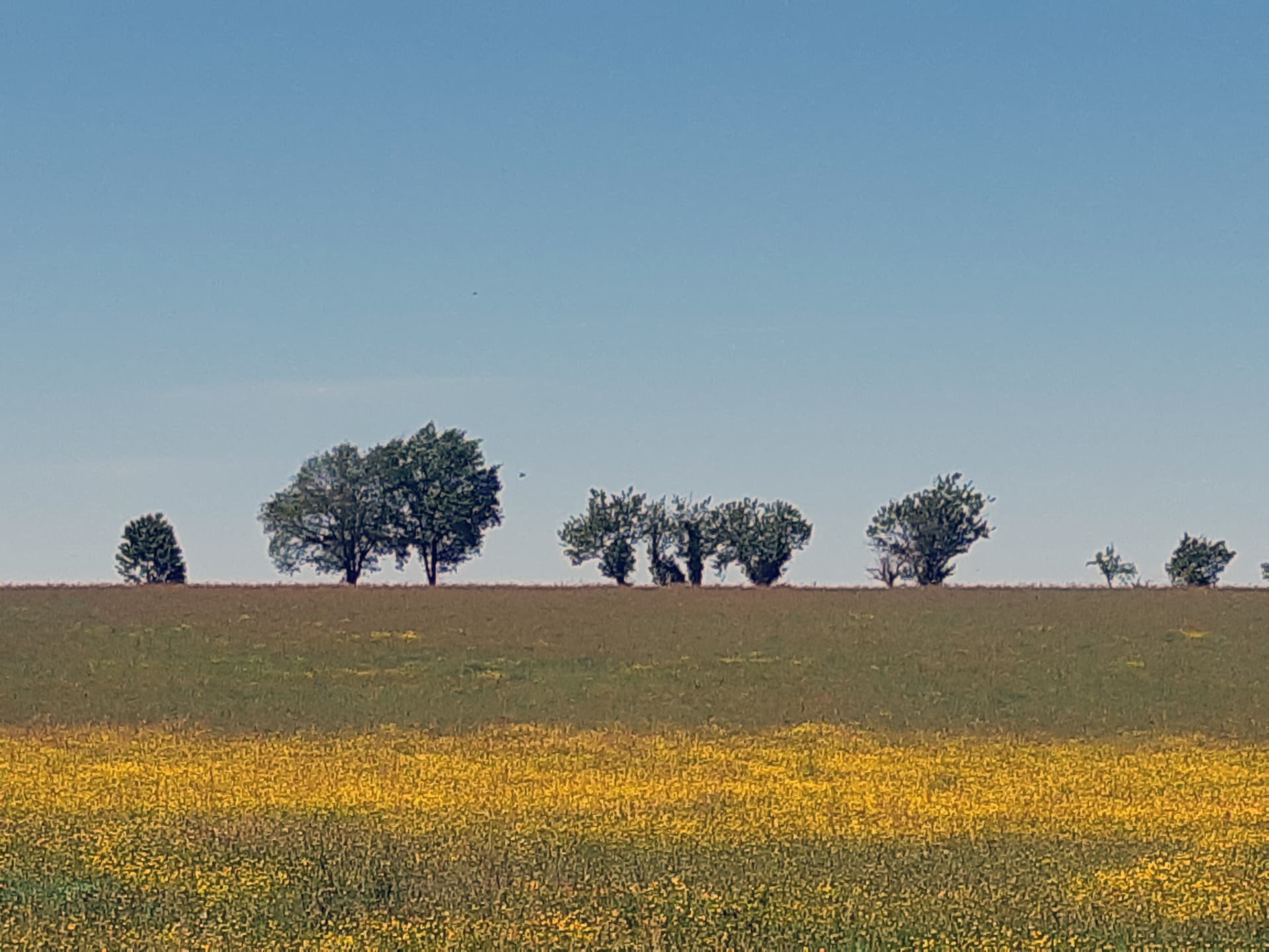
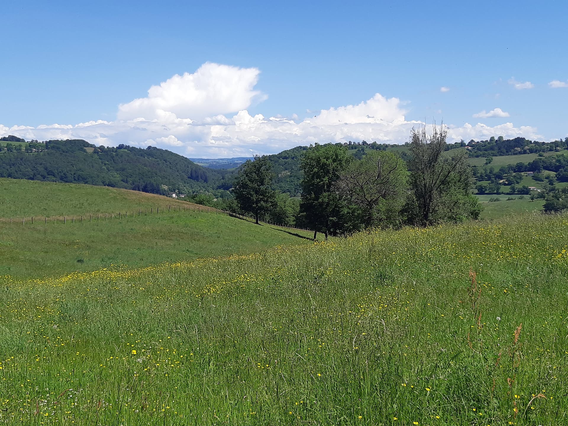
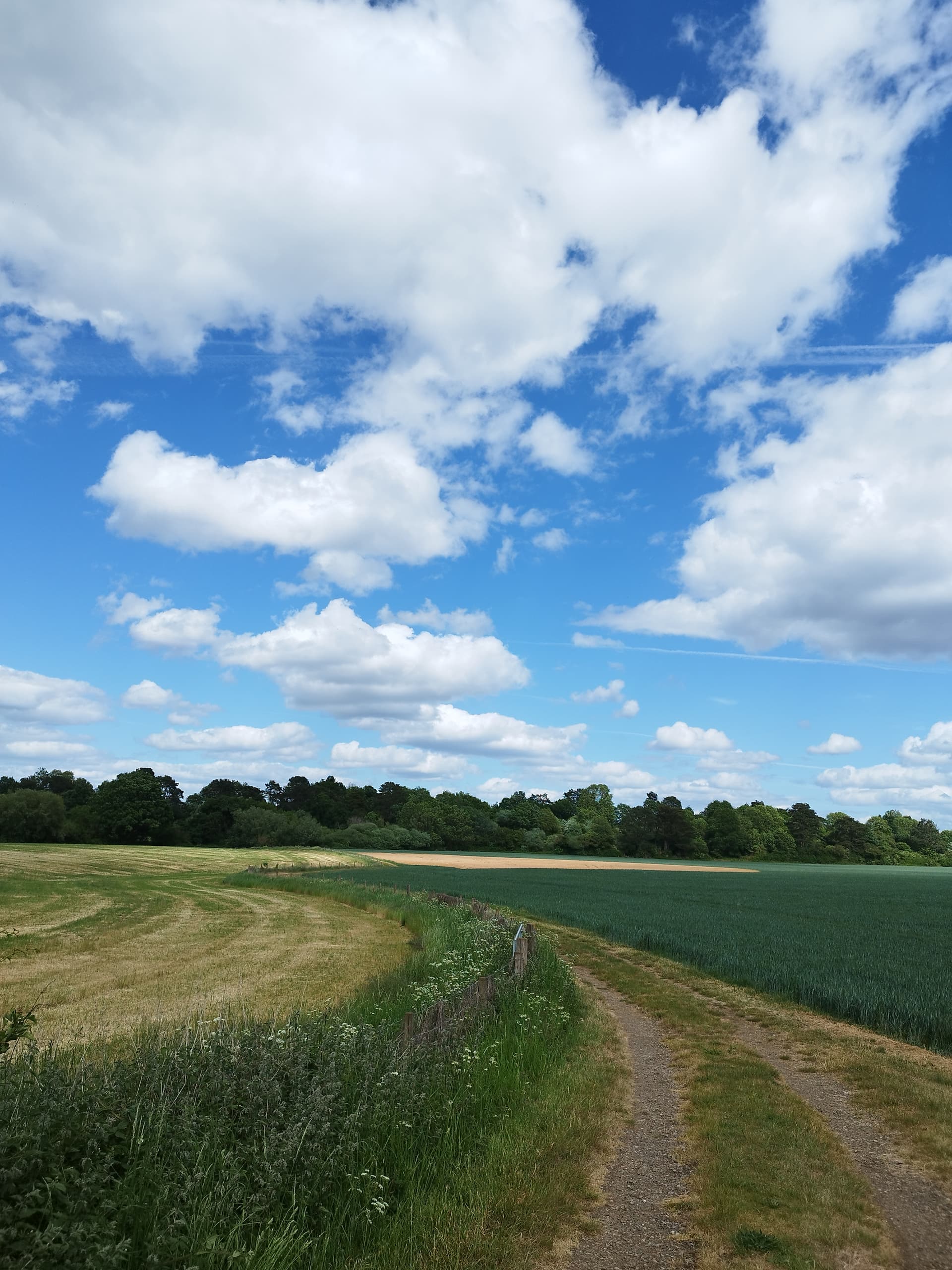
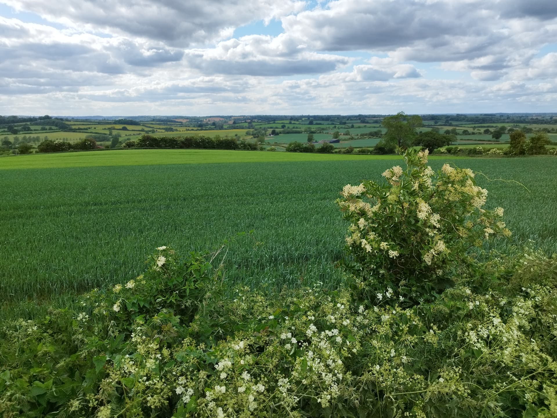
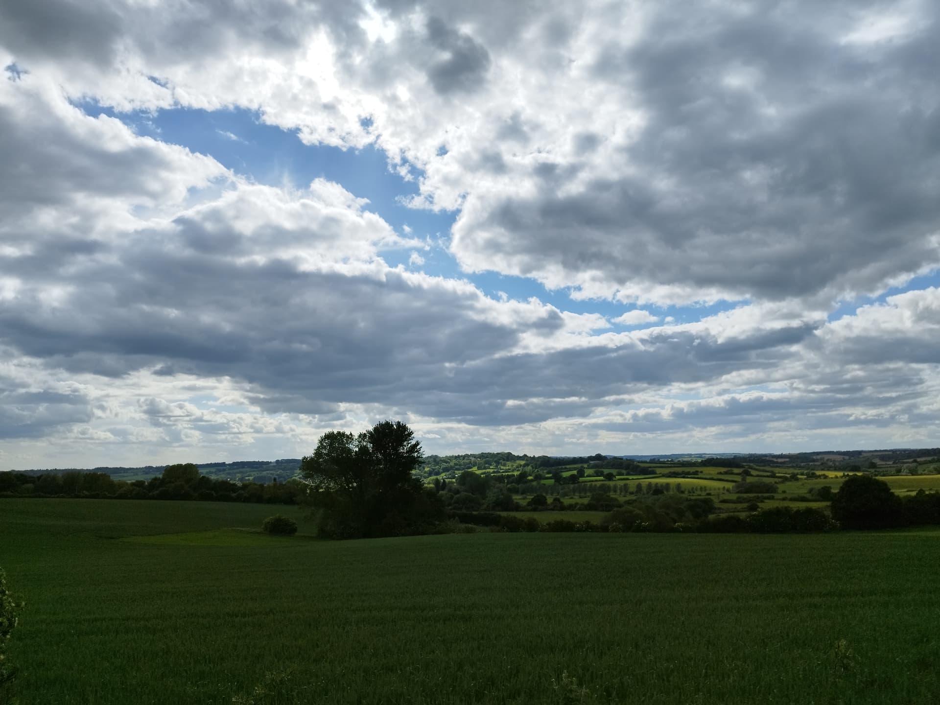
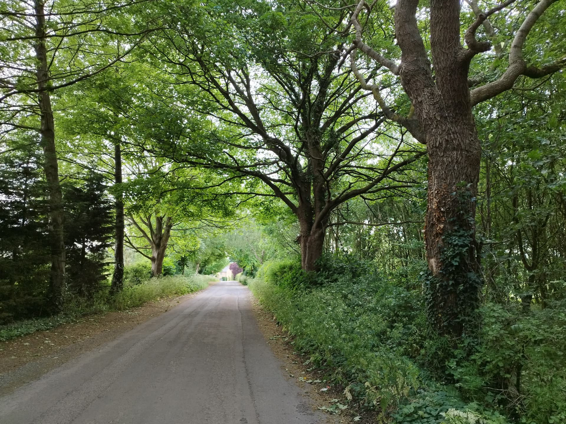
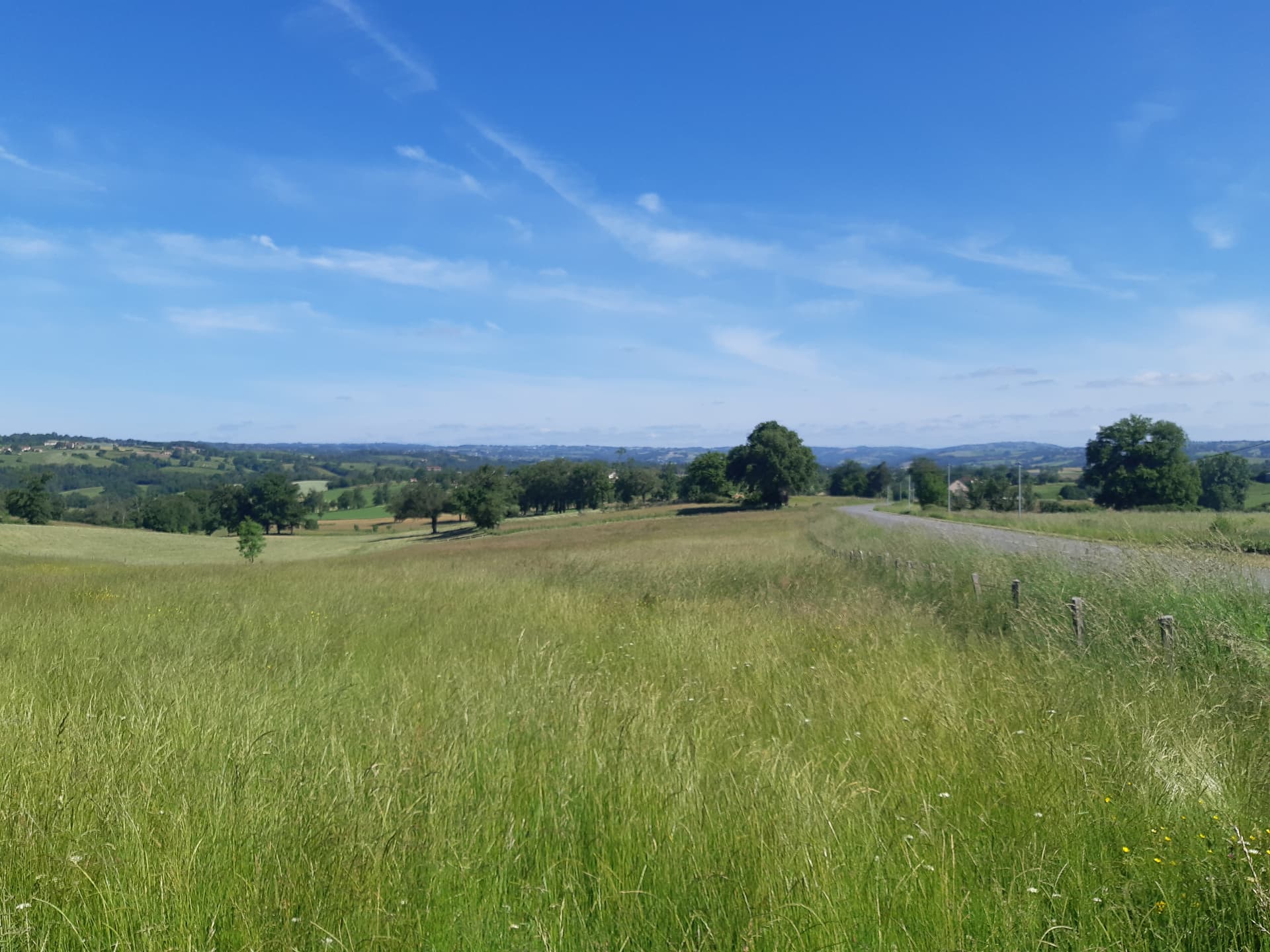
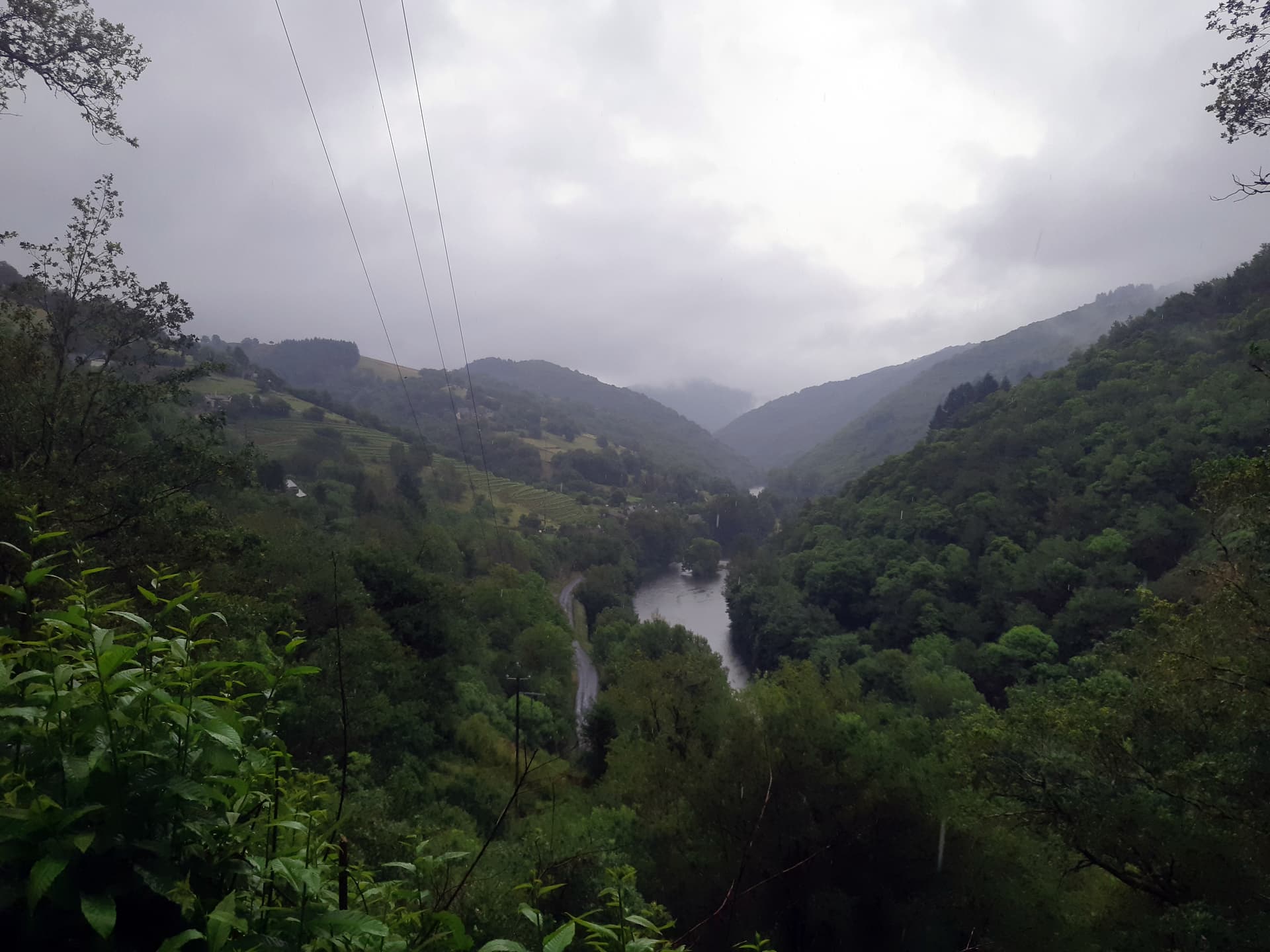
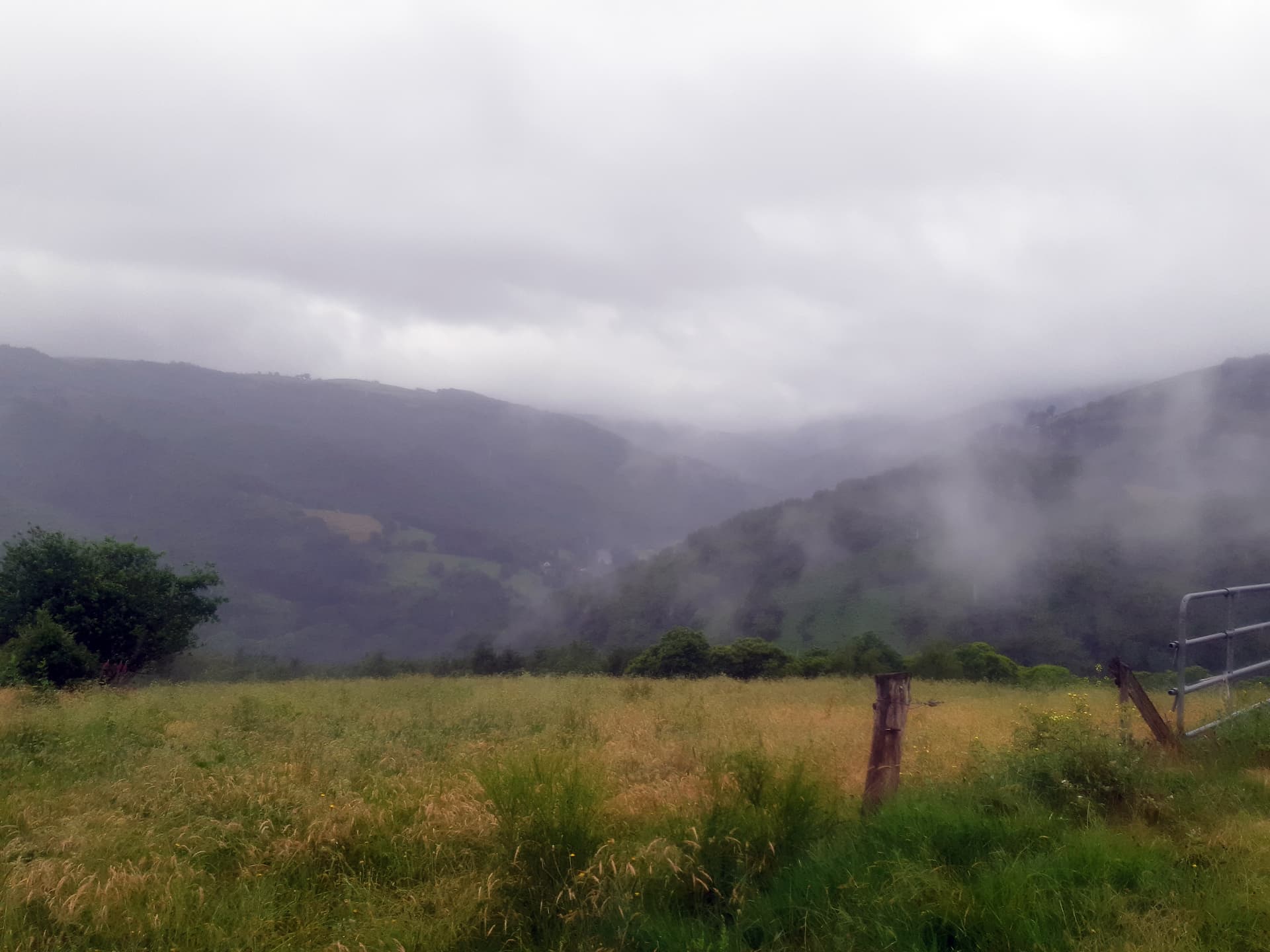
It was a fine morning and the walk gives fine views over the surrounding countryside (albeit not very dramatic)

A fine ladder…

Unfortunately we’d only gone a km or so and at the first gradient, the slow group began struggling, with a rather too well-fed lady from Paris being the struggliest

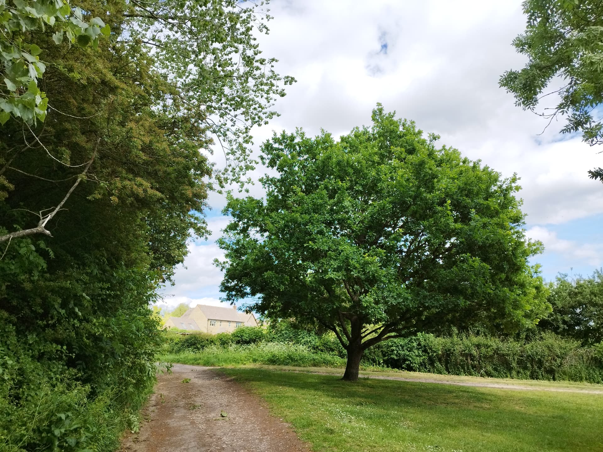
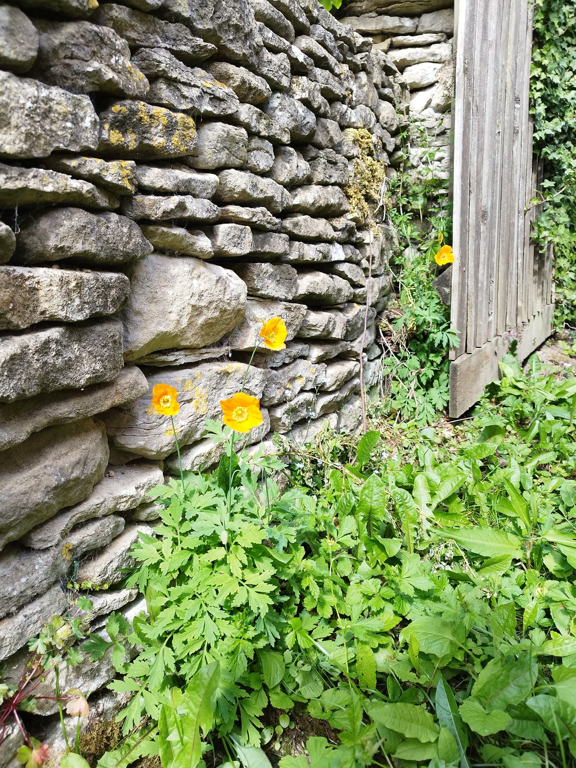
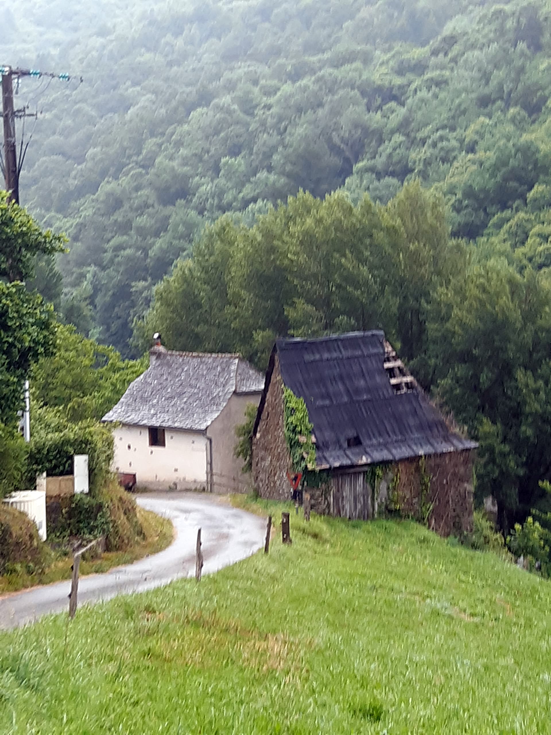
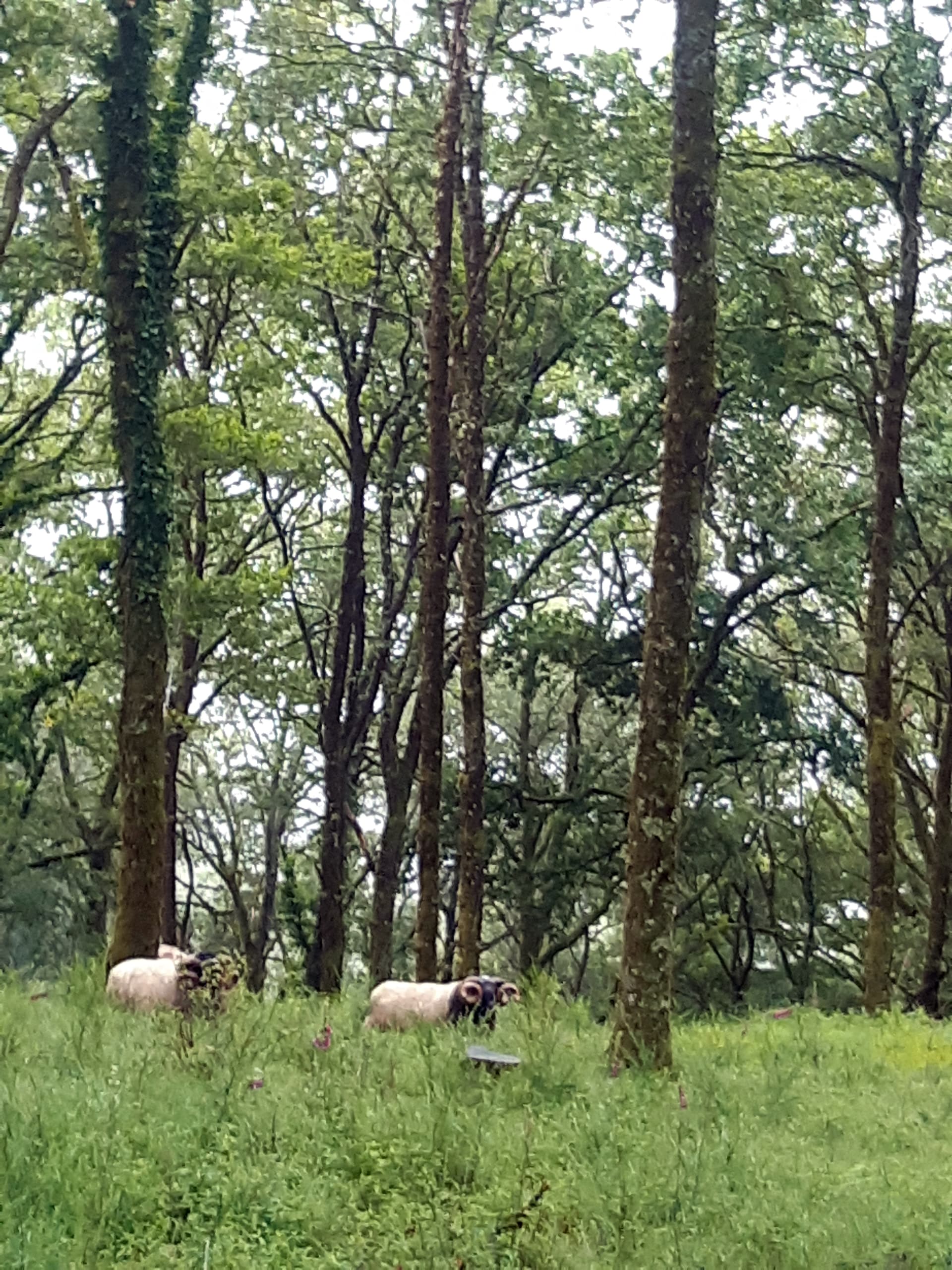
Then an hour or so of walking just inside the perimeter of the wood, with occasional views of the countryside below and apparently lots of orchids (but I’m never sure which are orchids and which are just weird flowers, so there aren’t any photos).


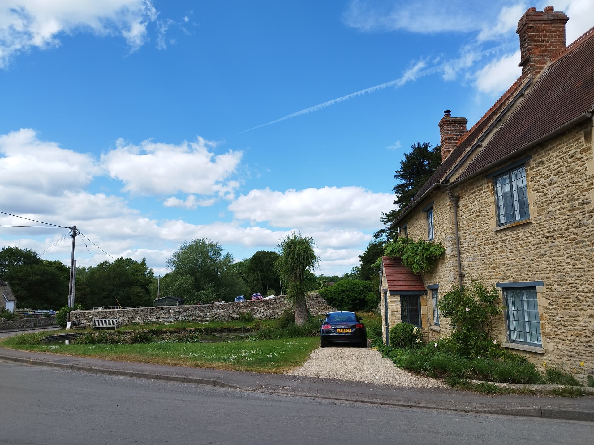
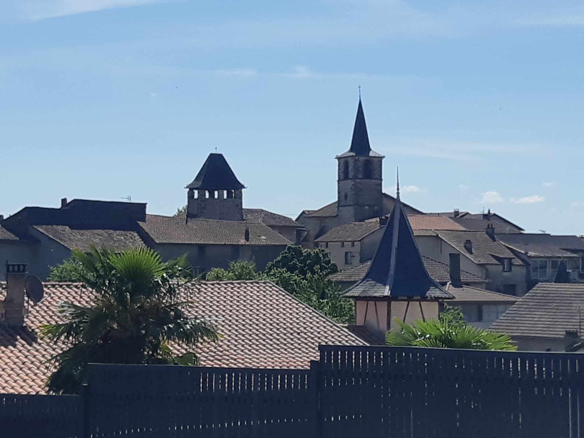
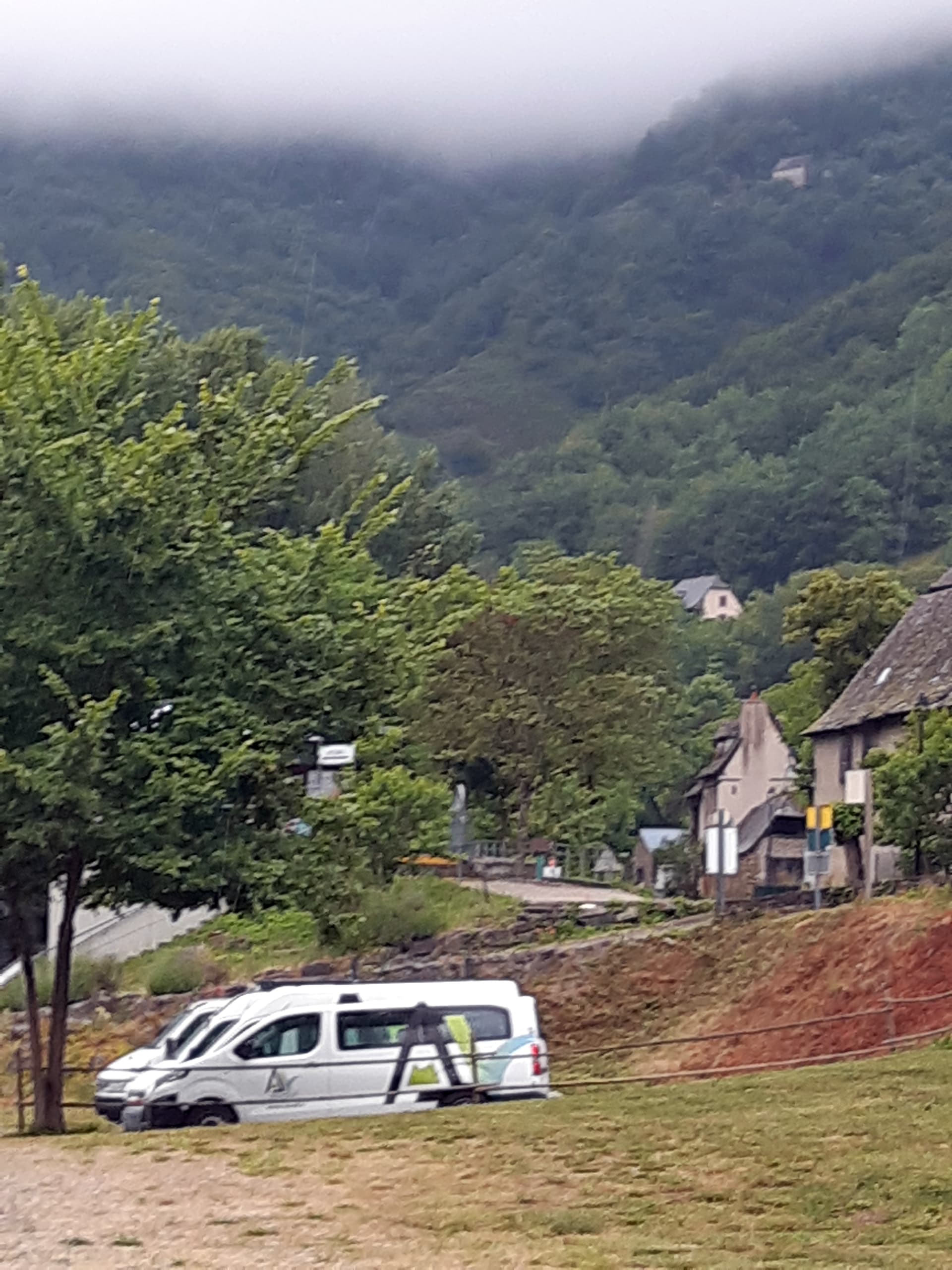
Back down from the Chapeau, looking across to St Santin’s two churches, which are only about ten metres apart- but in different regions.! The LH church is mediaeval and the RH one which looks C19th Gothic Revival was presumably built after the post-Revolutionary creation of the départements so that the citizens didn’t need to worship together!

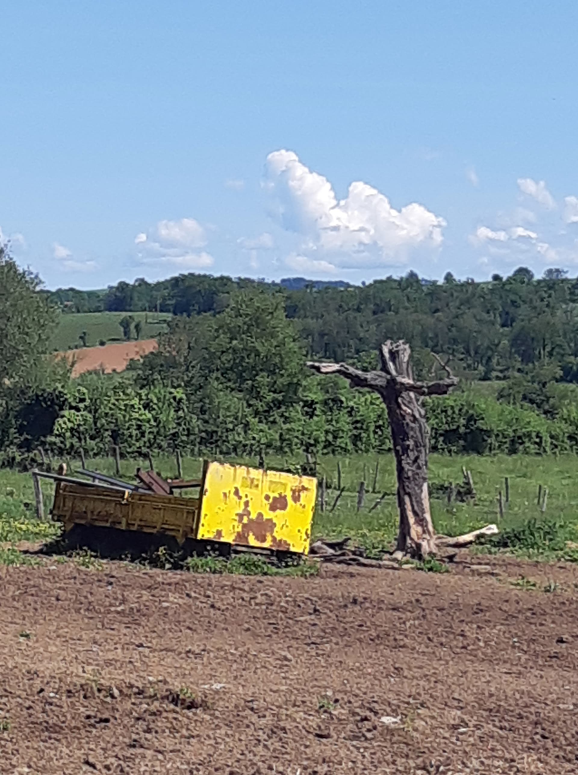
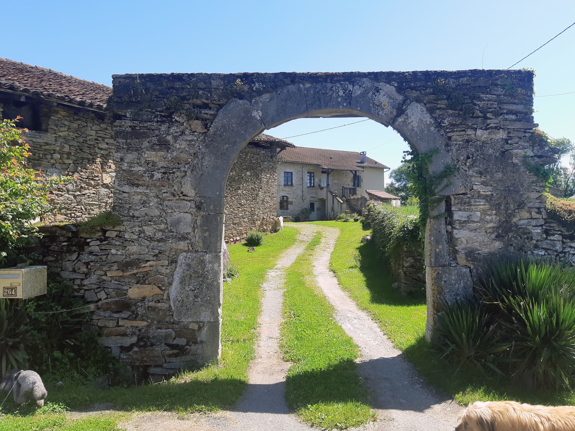
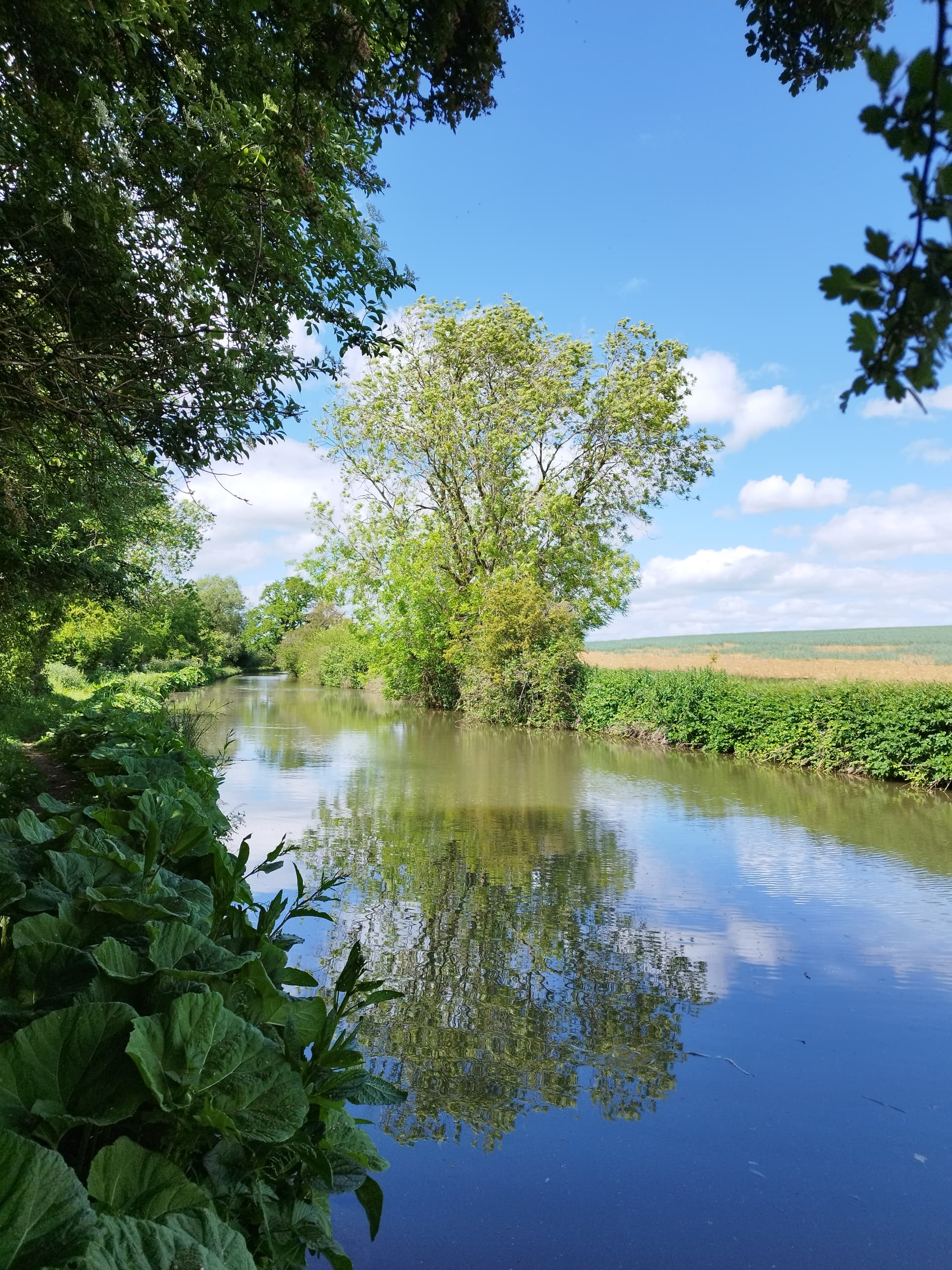
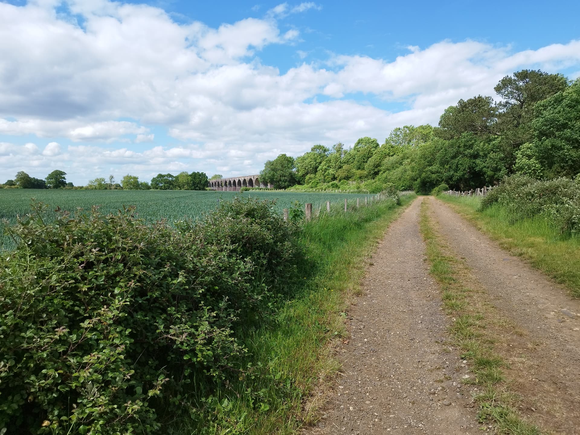
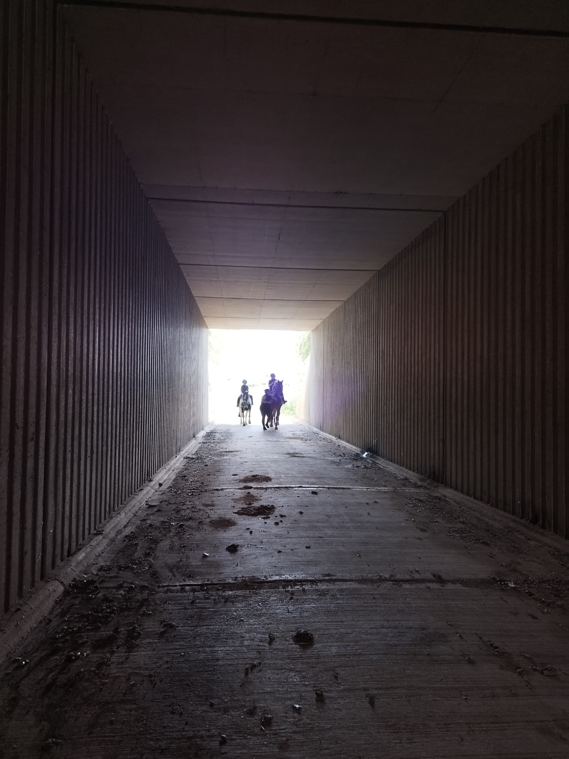
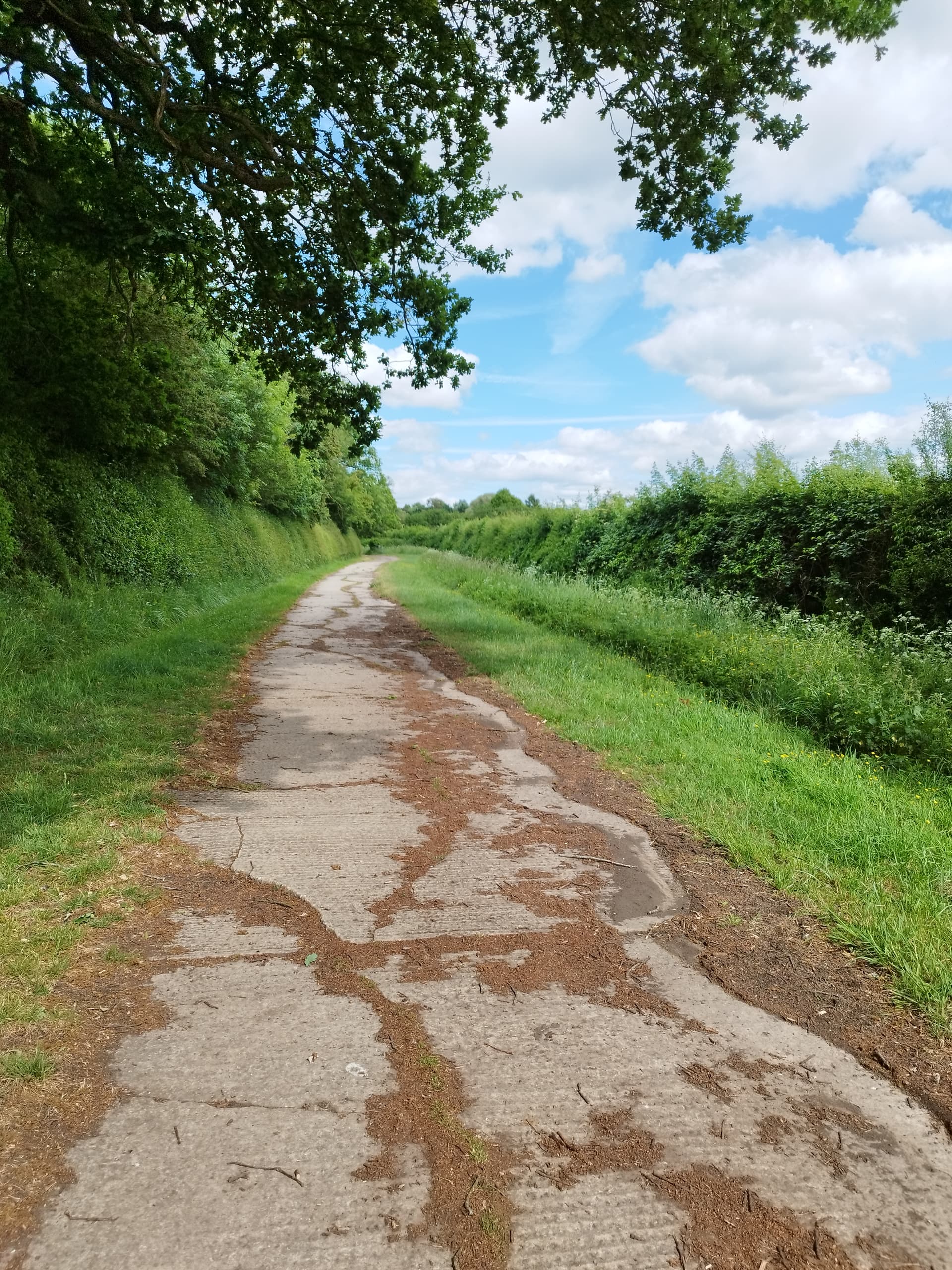
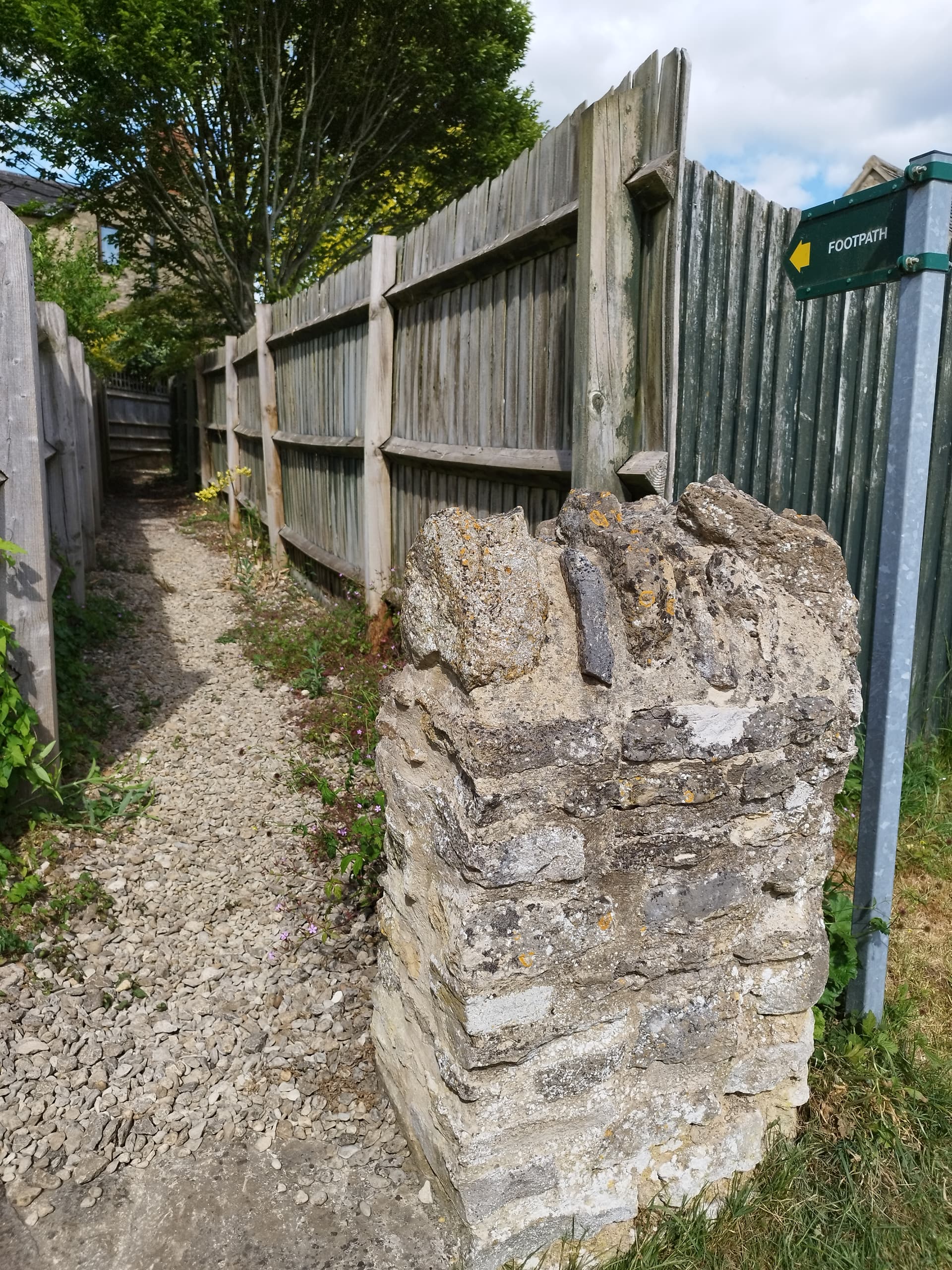
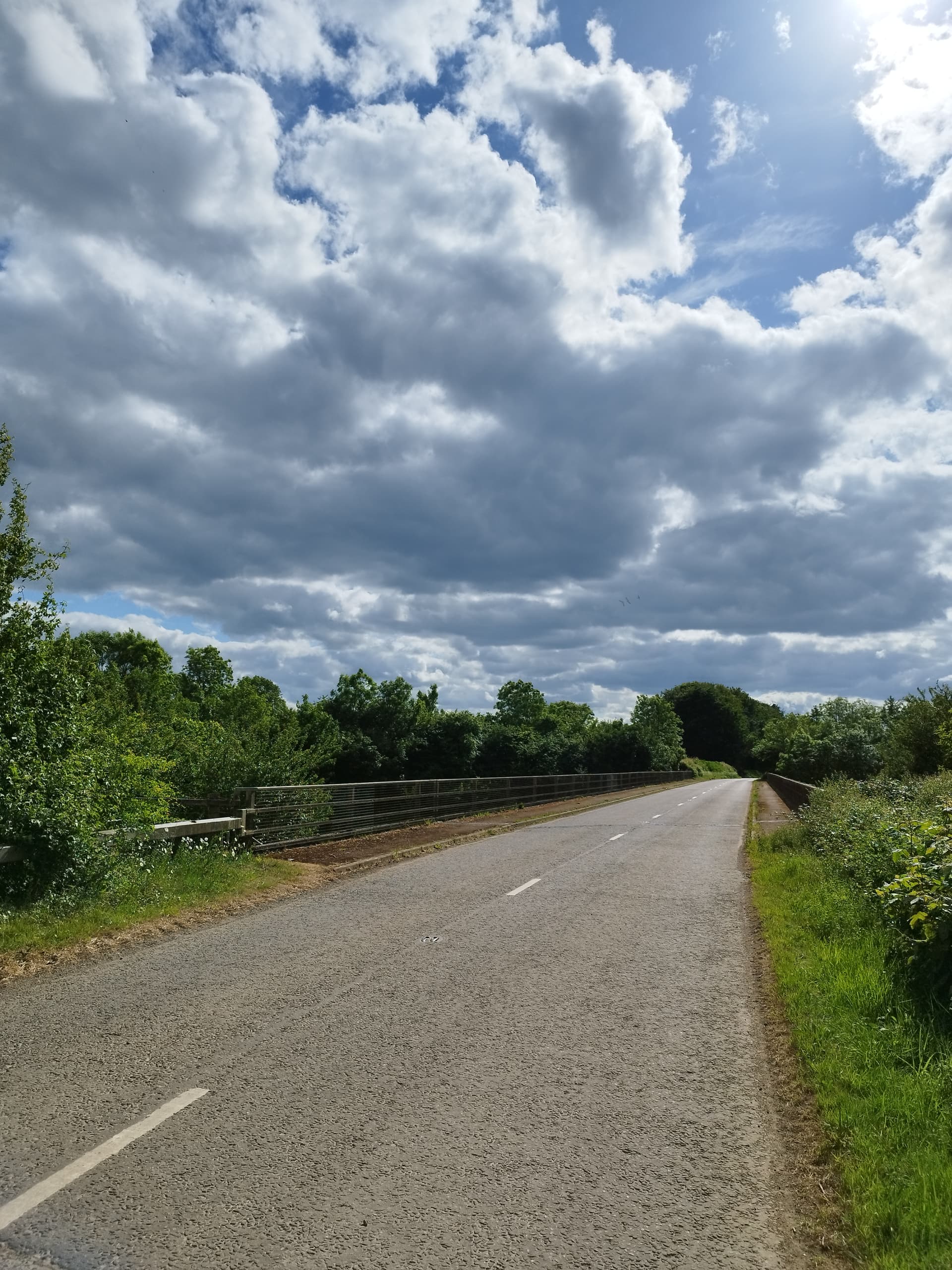
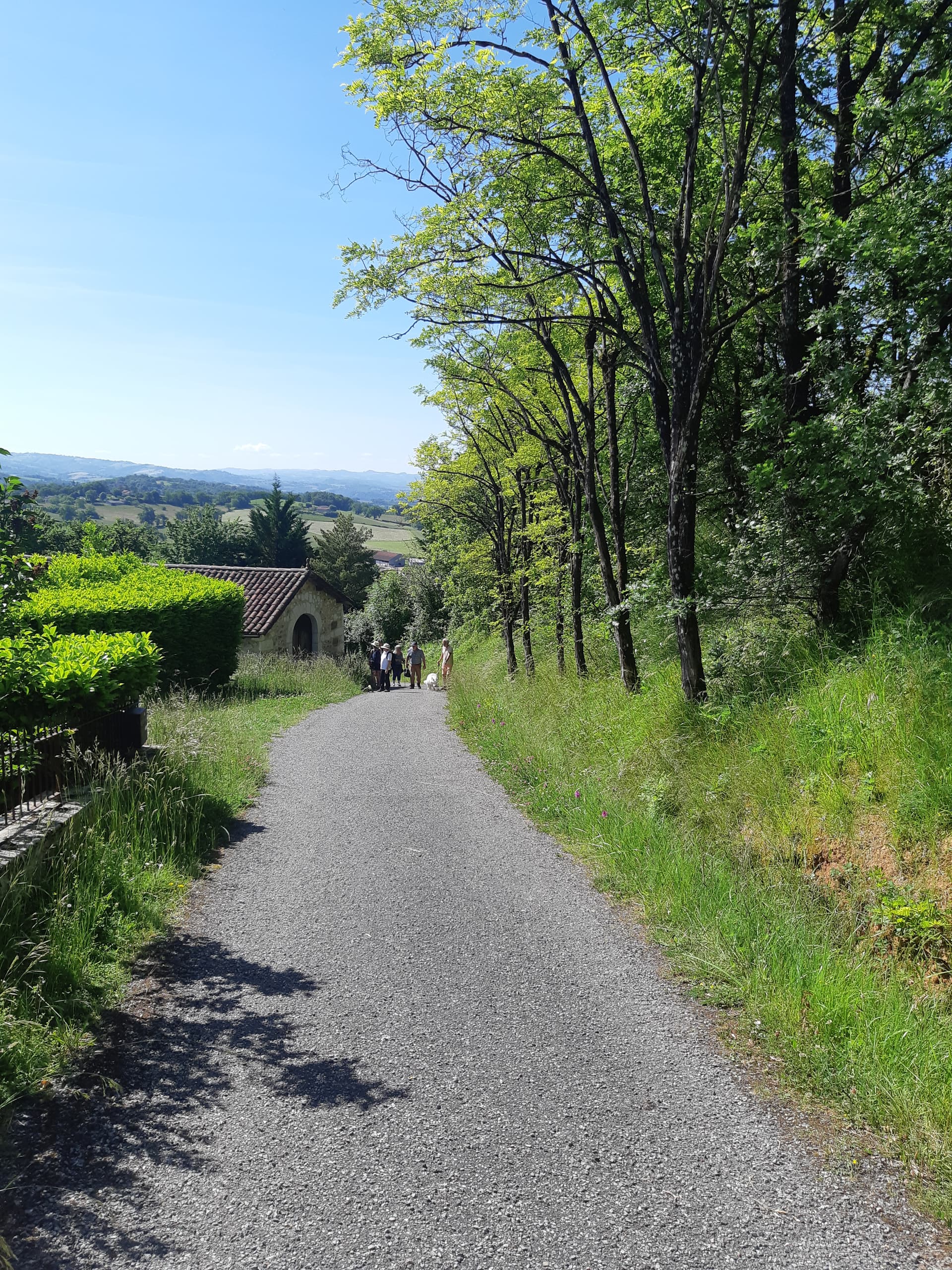
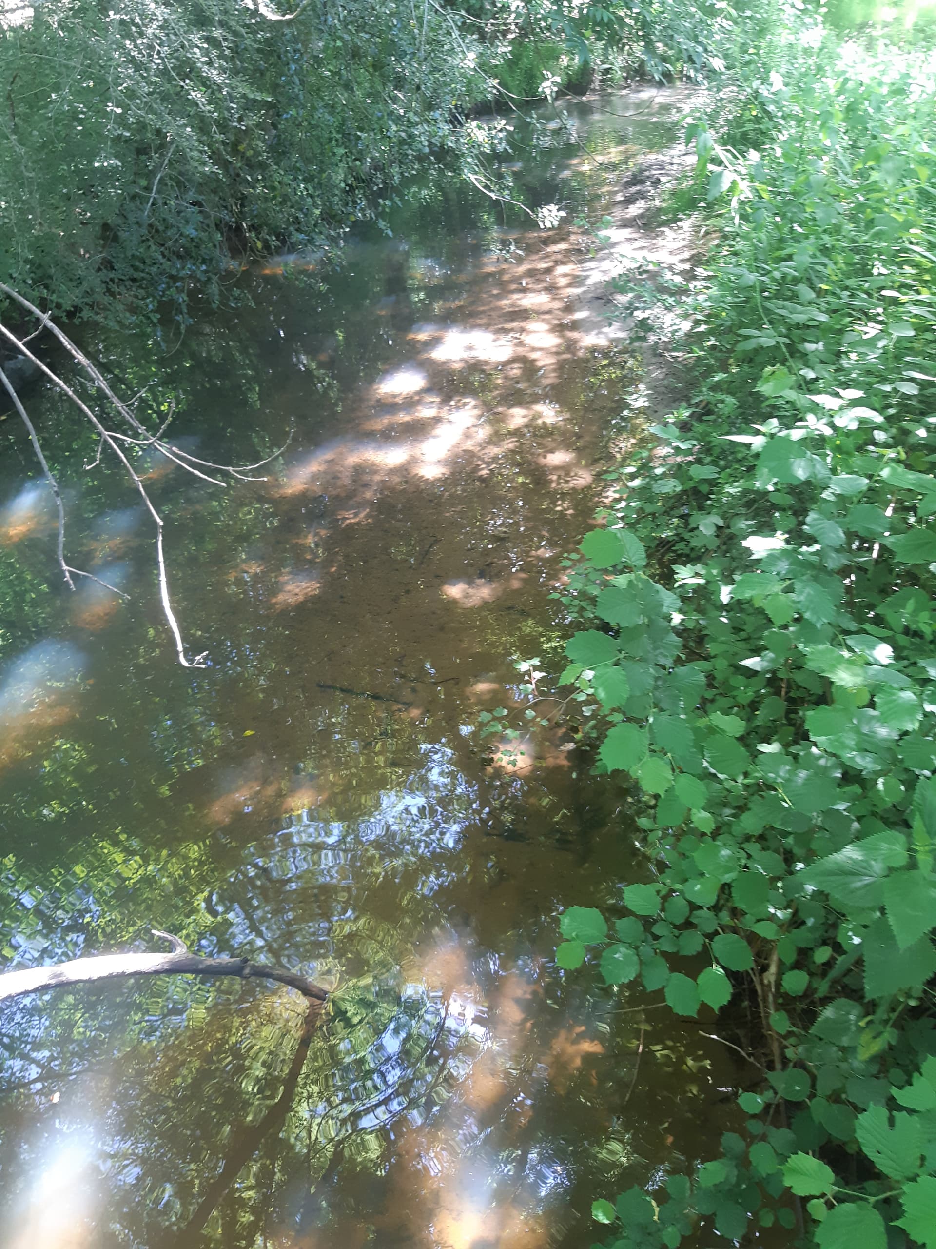
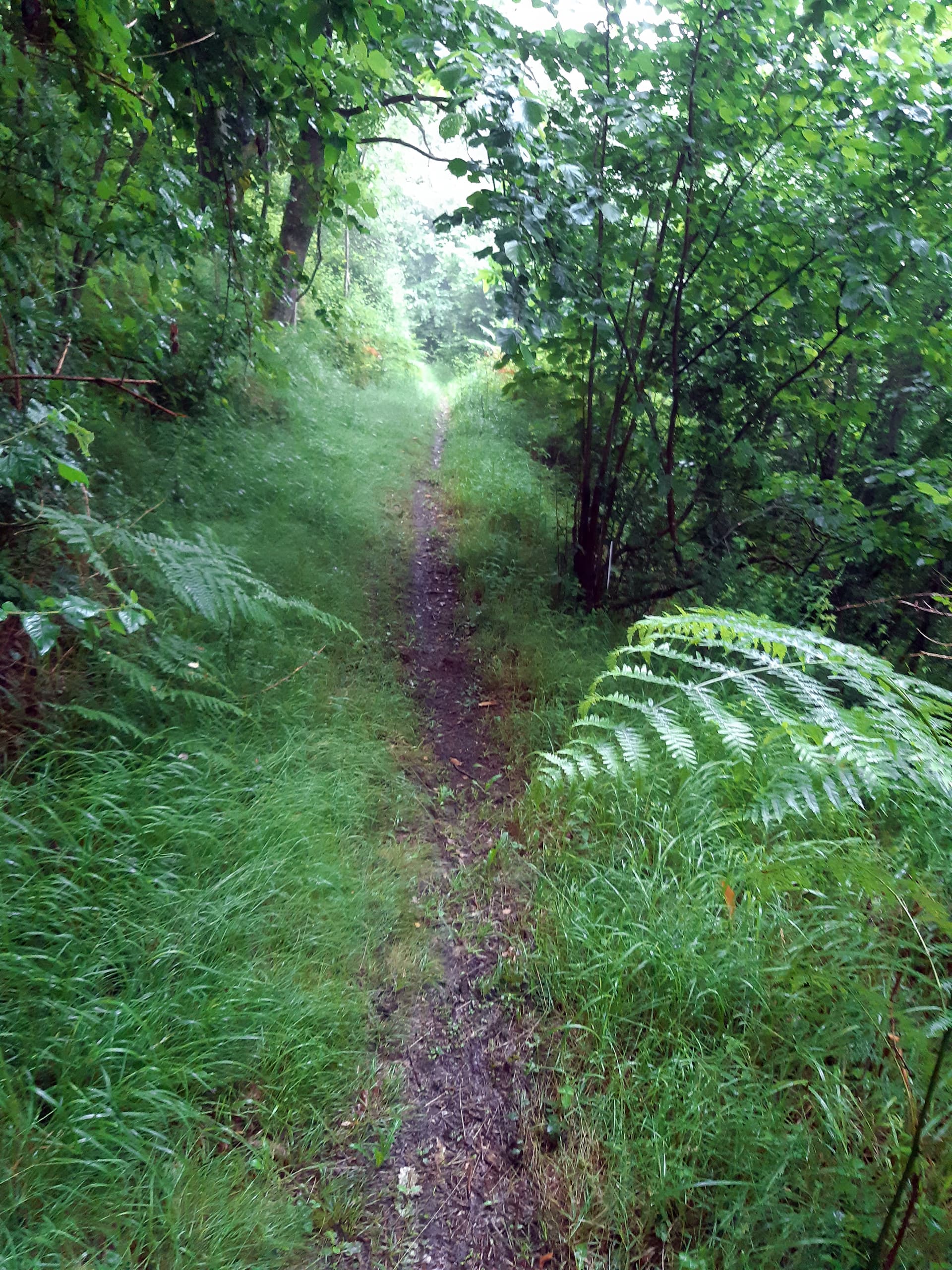
After that it got a bit boring photographically although remaining very pleasant rando wise - paths through fields, woods etc. this is a forest stream that in a photo looks like a path, though hopefully, you wouldn’t mix them up in real life…

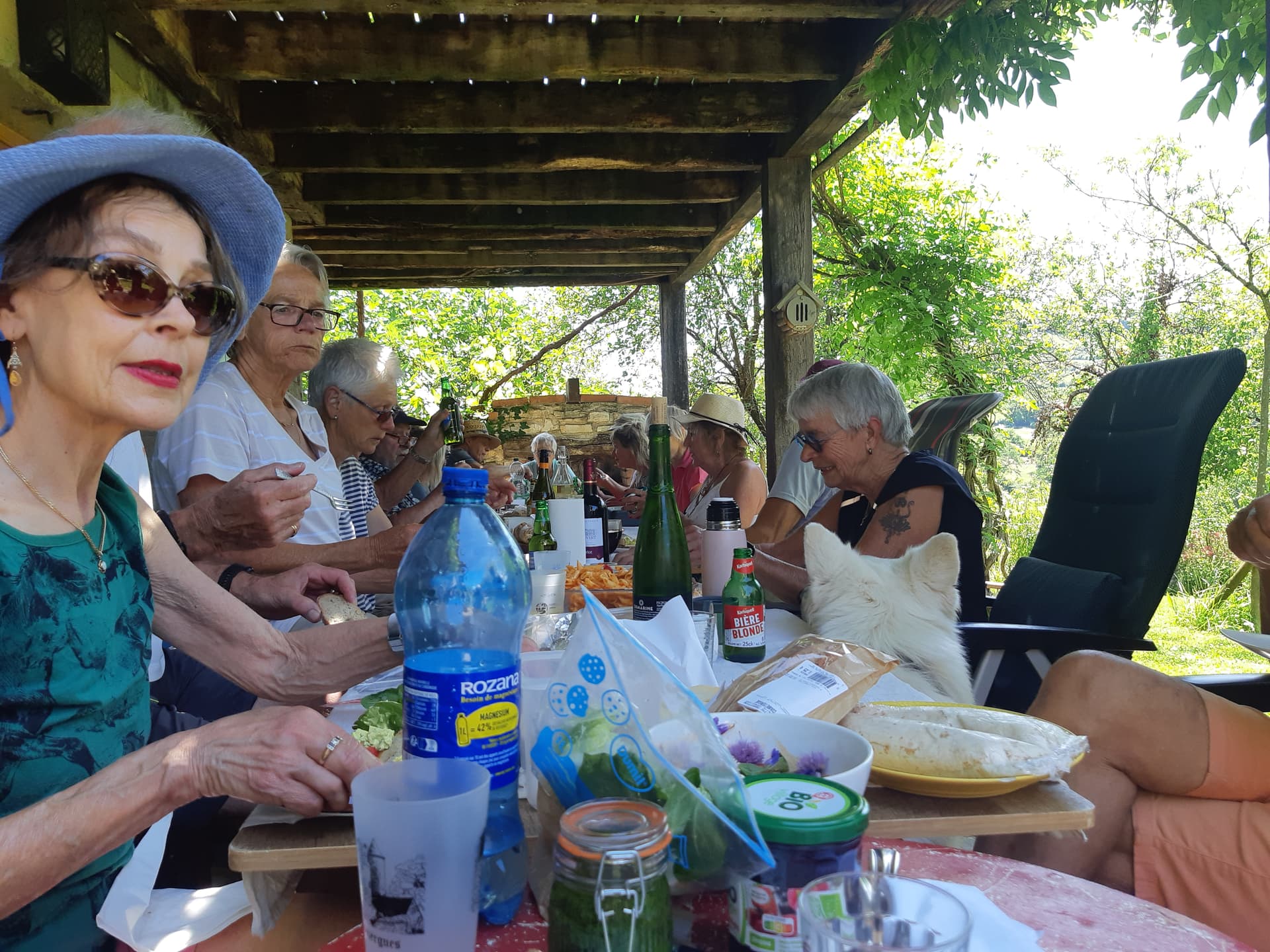
Eventually arrive back at our starting point where the short walkers have already been feasting for an hour or so. Madame H tackles her salade whilst the Dutch pig out on lots of too vinegary Dutch food.

Good rando, but not very photographic.

3 Likes

Thanks for these Mark, I’ll read through properly when there’s a little more time.

1 Like

Today we were walking from up the Lot Valley in the Cantal, quite close to where my wife and I didn’t walk the other week. Hadn’t done this walk for a couple of years, and normally it’s great for photography.

But not today - because we were going straight up from the river in the rain and into that grey stuff.

Began with a long haul up from the valley floor past various examples of Cantal roofing (some more effective than others)…

Eventually into the very wet and drippy woods - that small pale blob in the middle of the photo is the Lot a few hundred metres down below.

Mediaeval donjon (keep) viewed through heavy rain. I think it’s the one owned by a couple of gay architects who’ve restored it and created a mediaeval dining chamber pour un dîner à deux surrounded by suits of armour and other mediaeval gear.

All the while were still climbing in the rain through the forest’s narrow slippy footpaths and occasionally there’s a break in the trees where one can catch a glimpse of the river below.

I’d hoped tha by the time we reached the top, we’d be above the rain, or that it would have stopped. But we weren’t and it hadn’t.

However soon after we had an interesting encounter in the rain at this unlikely spot.

A local brebis maker who gave us an impromptu tour of his set up:-

The bedraggled grey blob in the bottom RH corner may not be instantly recognisable as Gigi…

Have to admit the barn looked a lot more inviting than what was outside, but we had to go on…

Shortly after (reluctantly) leaving the barn we encountered the head ram, Leopold (he’s Belgian)

Lupo’s not at all bothered by all the rain

But for poor little Gigi, it’s a very bad hair day…

It was decided (for obvious reasons) that everyone would just do the shorter 9km walk and so we all began the long descent through the forest back down into the valley.

For a millenium or more, the forest was a farmed resource (chestnut wood, nuts and cattle, together with sanglier and deer, one leapt out just a couple of metres in front of me) and one often comes across its architectural legacy, that can resemble something from Tolkien…

Eventually, we’re back down at the riverside

But there’s still interesting things to see - loved this sturdy Cantal window

And the large derelict house next door…

And then finally a fast 45 minute drive along the twisty D40 road on the north bank of the Lot with not a single car or cautious tourist camper van in front of me (lunchtime and very wet).

All in all, no pique-nique totally wet, and shorter than intended, but still bloody good!

,

.

4 Likes

Thanks for posting Mark. You were ‘brave’ going out in the rain, but it certainly made the photos a little more unusual.

1 Like

Thanks, but I grew up on top of the Pennines, where, to paraphrase Flann O’Brien, ‘even when it didn’t rain, it still rained.’

OTOH my wife, from sub-tropical Durban was less accepting - still moaning about the weather.

I just say something along the lines of, “Darling, it’s the Aveyron, not Africa.”

1 Like

Thank you for posting what looked like an endurance test.

I spent quite a few minutes trying to find Gigi in the photos but she must be part chameleon because I couldn’t find her. :nerd_face:

1 Like

Neither could I. :thinking: But enjoyable, as always. :grinning:

1 Like

In the arms of (I assume) Ms MarkH.
Coincidentally, just going out for a rando myself.

2 Likes

Well spotted! :slight_smile:

Hope your weather’s better than mine was.