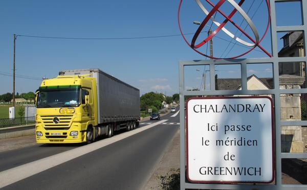
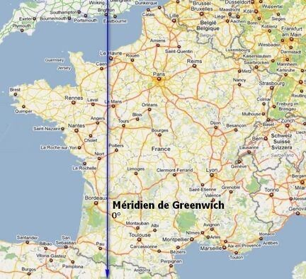
I’m confused with this photo Jane, bearing in mind that you’re in Calvados.
I thought the meridien passed through Chalandray (near Poitiers)
I’m confused with this photo Jane, bearing in mind that you’re in Calvados.
I thought the meridien passed through Chalandray (near Poitiers)
Sounds right, but maybe you were actually recalling this artist’s works
Simon Faithfull 0.00° Navigation in its various forms - see:-
and beyond…
Jane - What I was unsure about was where you live. I assumed it was further west than the meridien line.
Sorry for being such a grey haired version of a dumb blonde!
Just 19km west of the line, so within reach.
Stopped posting for a couple of weeks, but didn’t stop walking. Due to the weather my wife and I have been walking our local routes by ourselves and these have been recorded on here many times before. But I have a mini portfolio from these recent walks and maybe I’ll put them all together in one post.
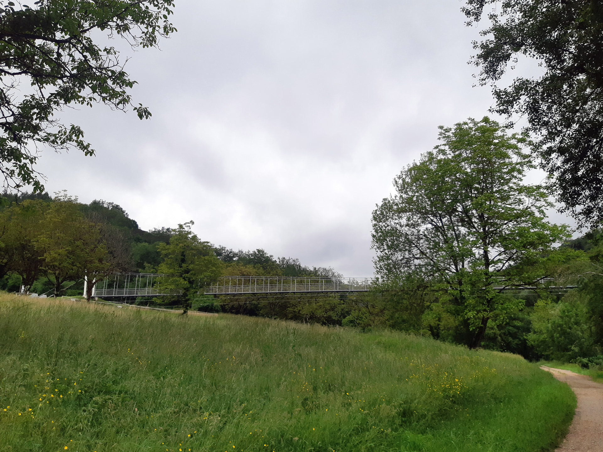
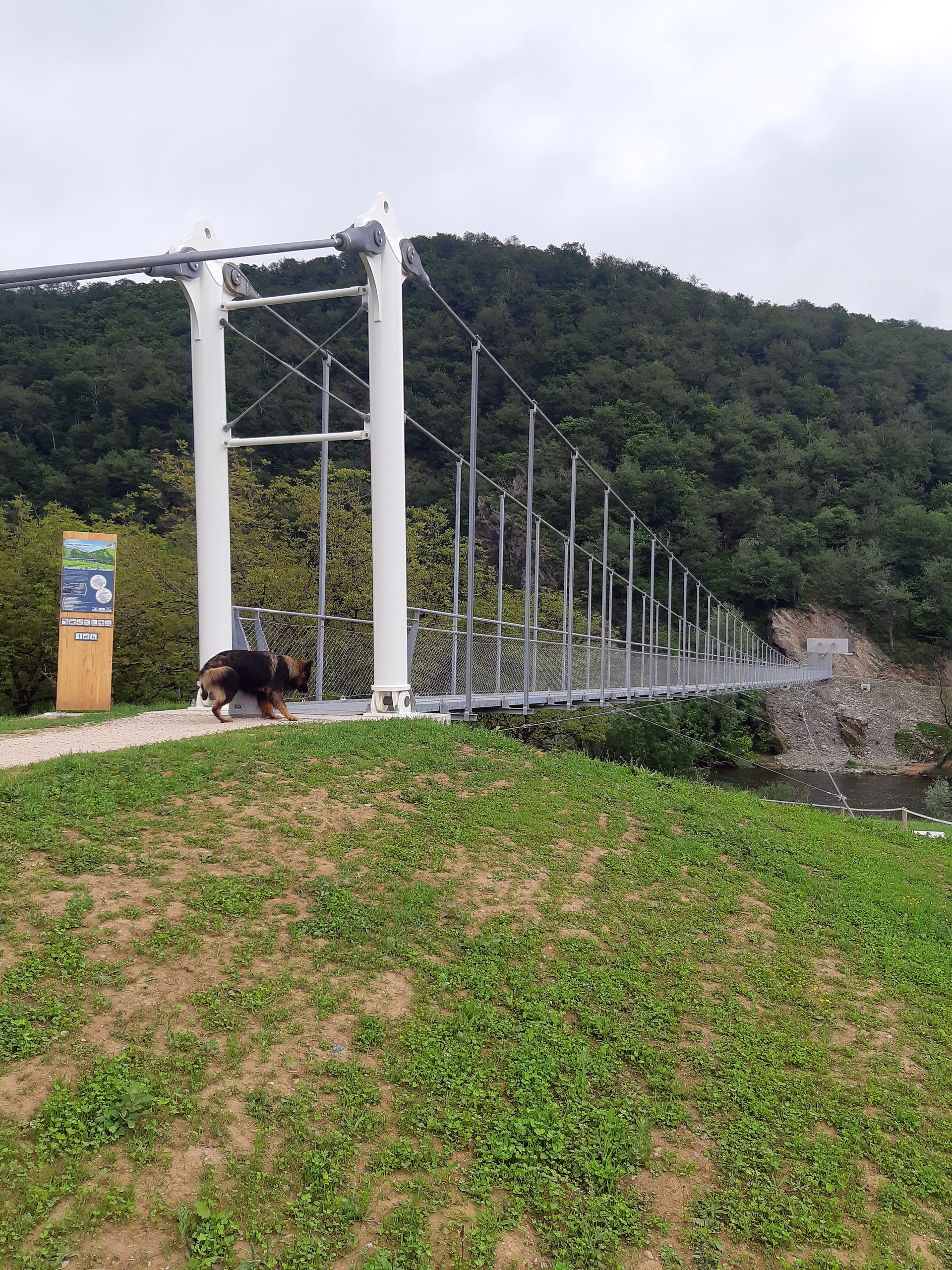
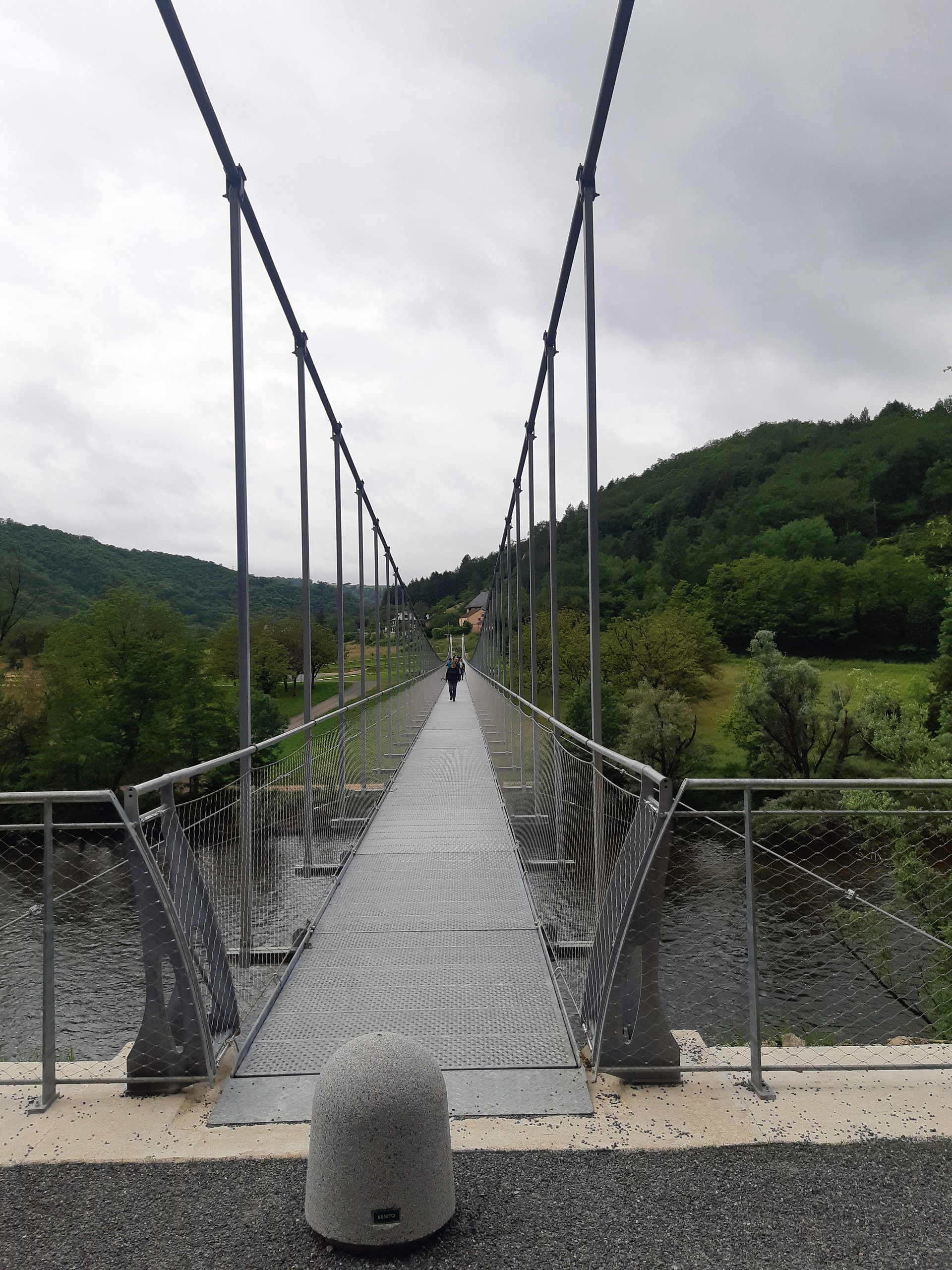
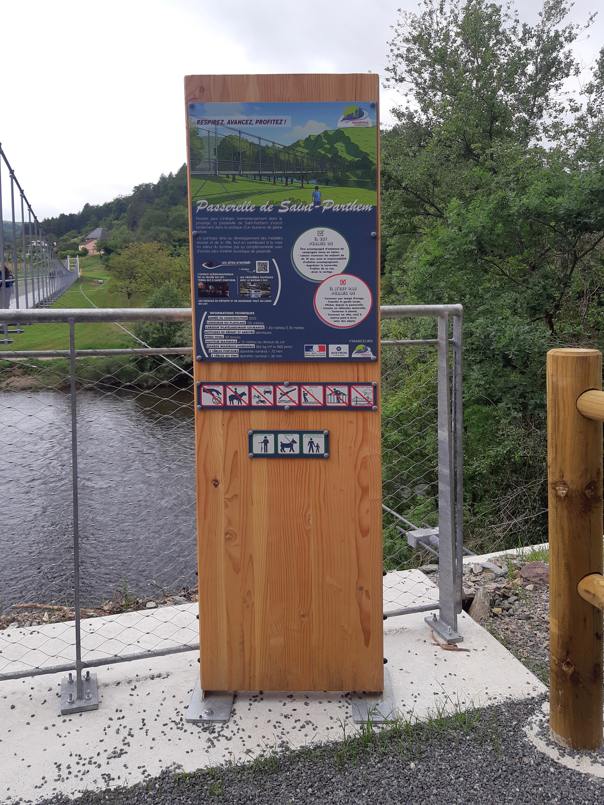
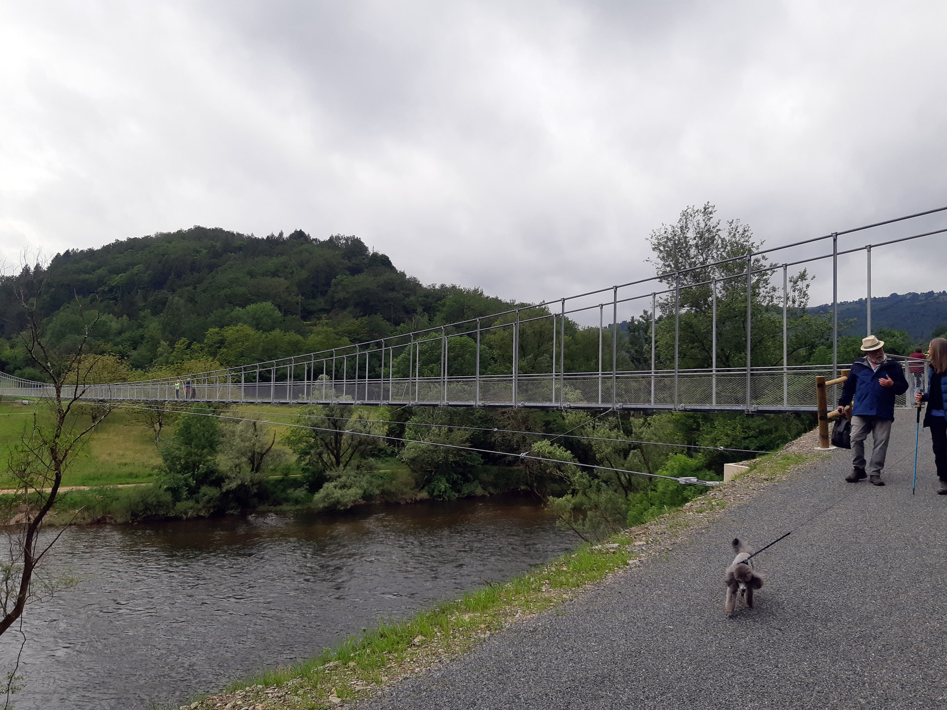
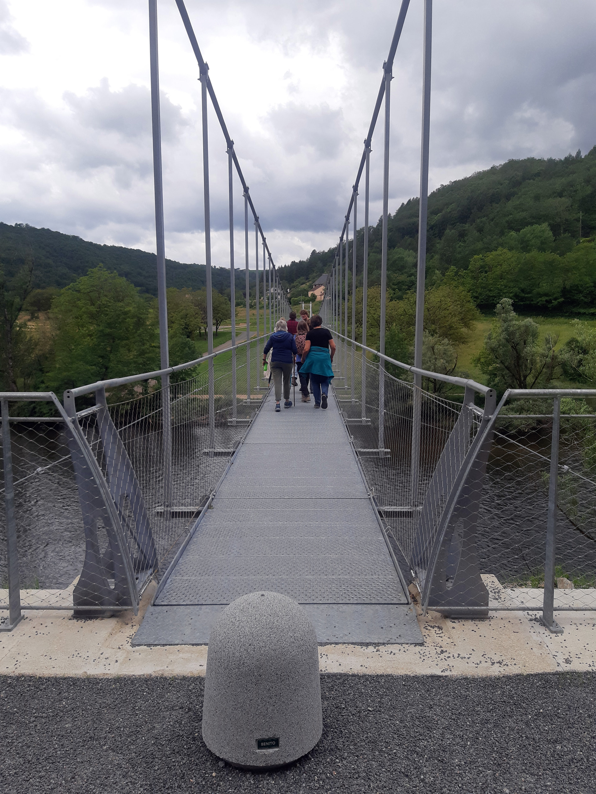
However our group walked again yesterday and it was a very unusual occasion because it was a new walk - not simply one we’d not done before, but one that wasn’t previously possible. The Aveyron and Decazeville have spent nearly €1.4 million on a spectacular new 180 metre long pedestrian suspension bridge across the Lot that’s several kilometres from the two nearest crossing points. Connecting the banks of the river here has opened up several new walking routes and perhaps added another variation to the Camino from Conques. Great to see this sort of visionary project amidst all the economic gloom.
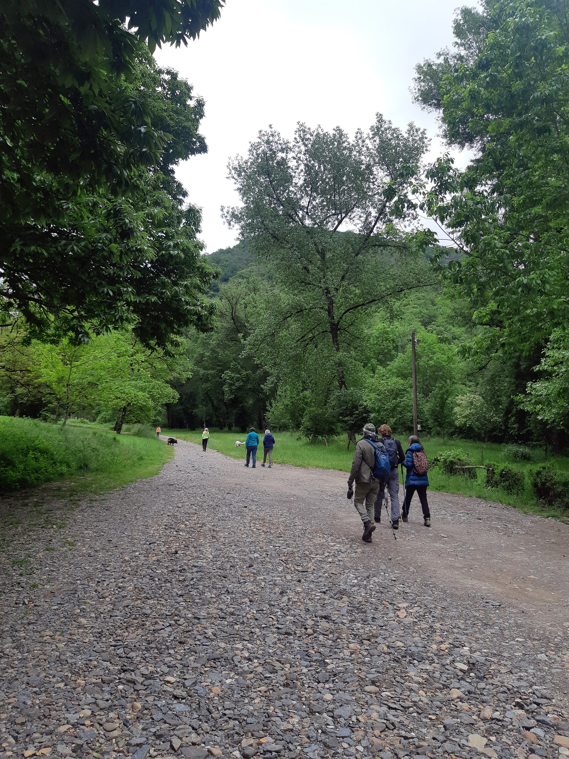
So off we set from the carpark on the riverbank below St Parthem
Rarely drive past this point because the track used to get very rough further along and my wife used to get anxious despite being told that we have 4x4 for such situations. However, now it’s been upgraded and anything can drive through.
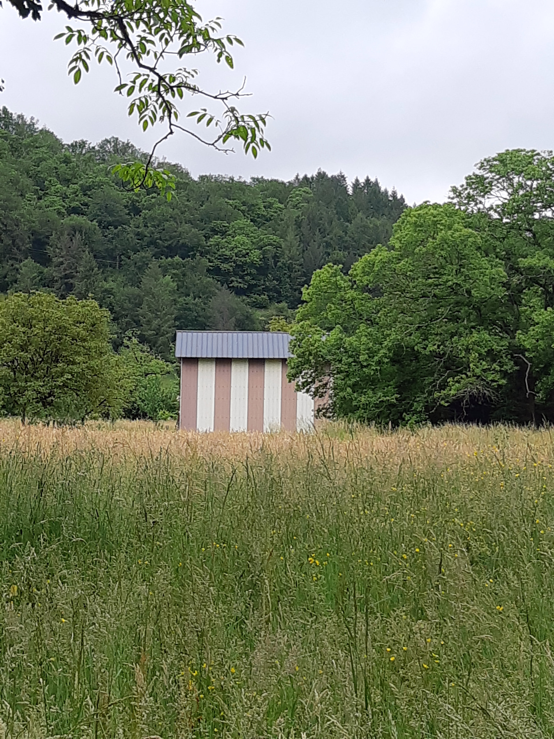
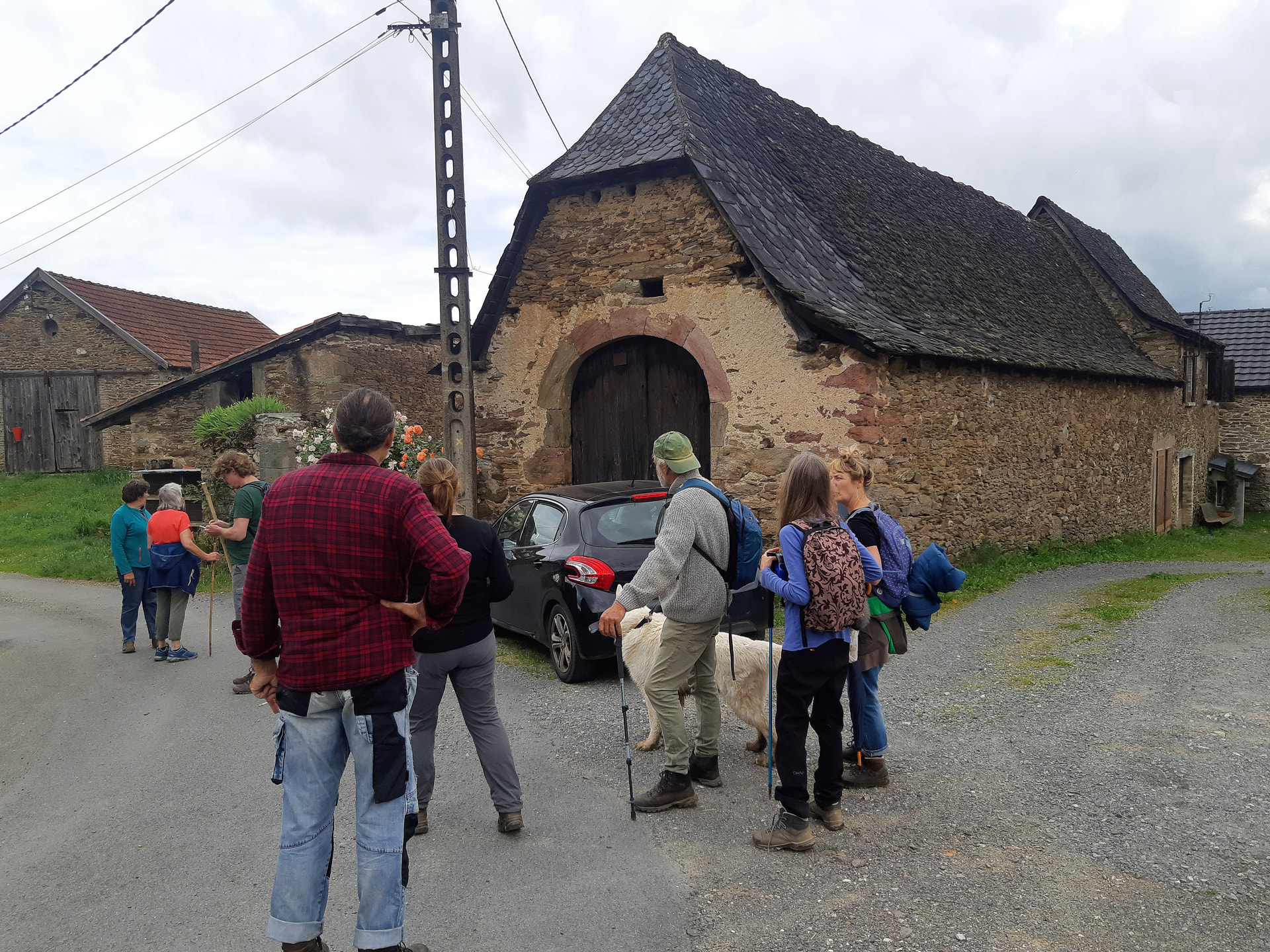
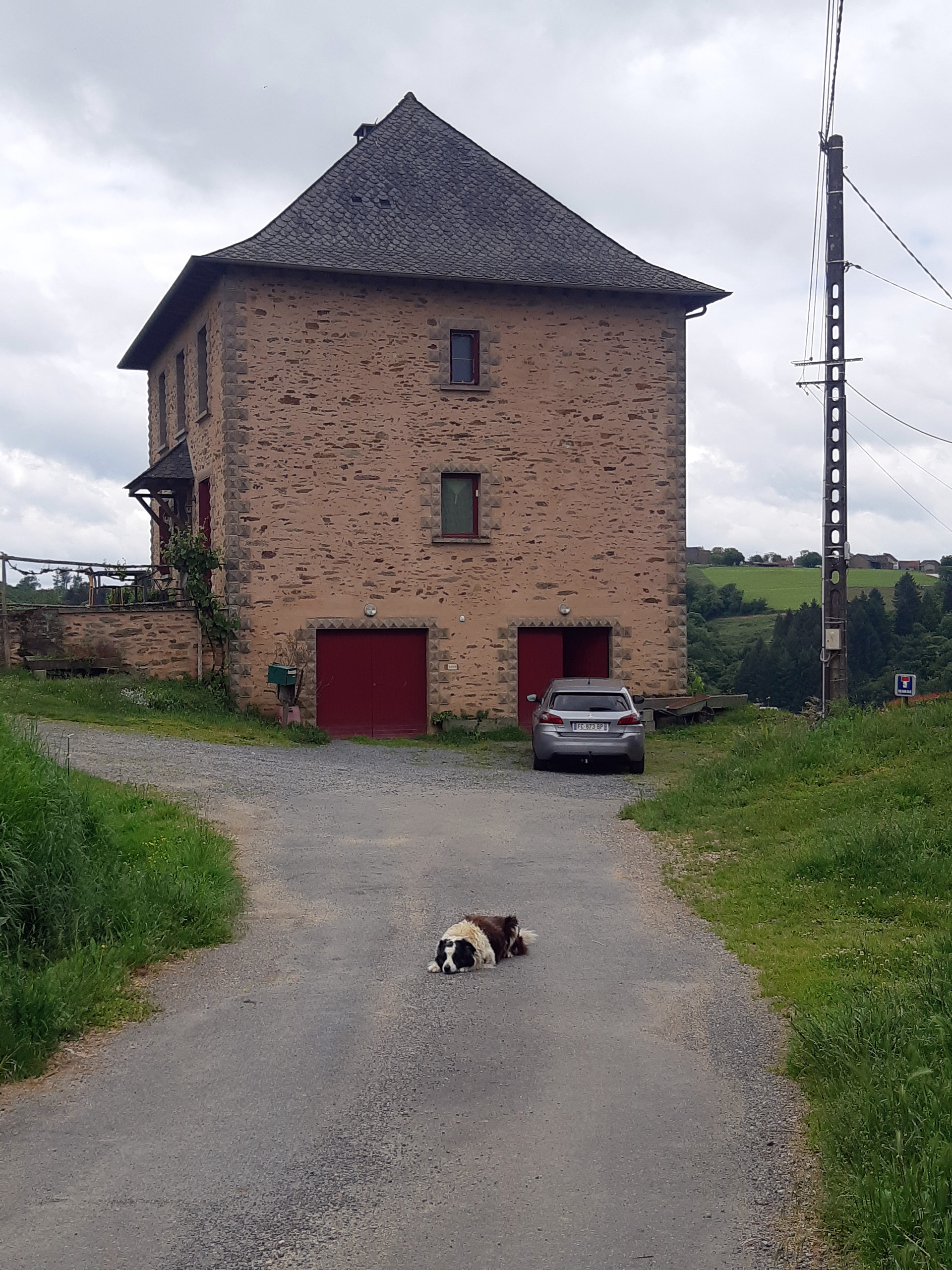
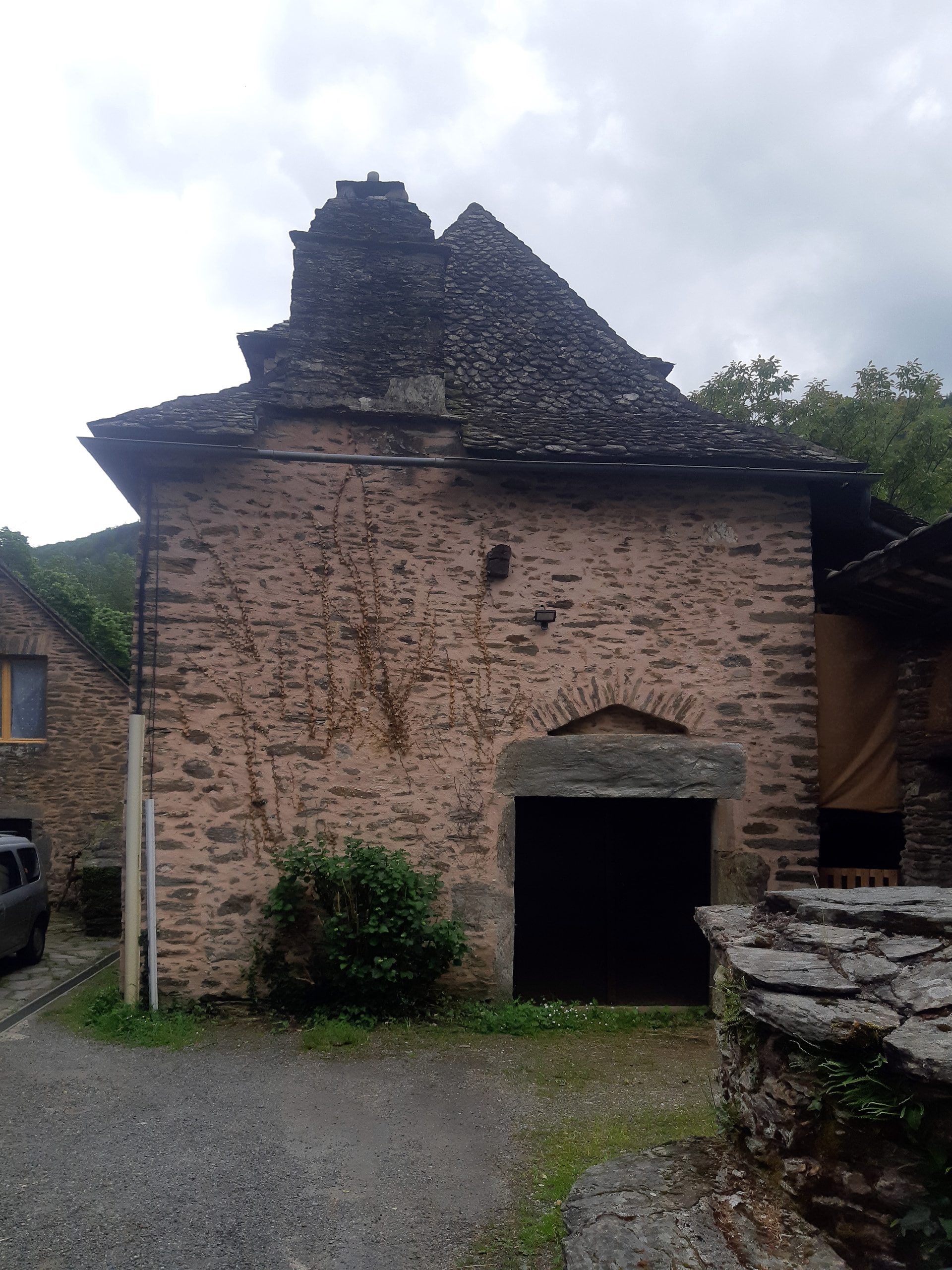
The first interesting barn of the day - not seen one like that before - Daniel Buren?
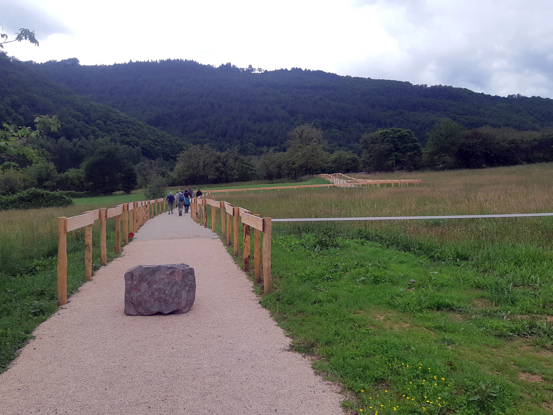
The new bridge footpath is bit too cultivated for my taste, but it’s obviously wheelchair friendly.
And then the bridge itself!
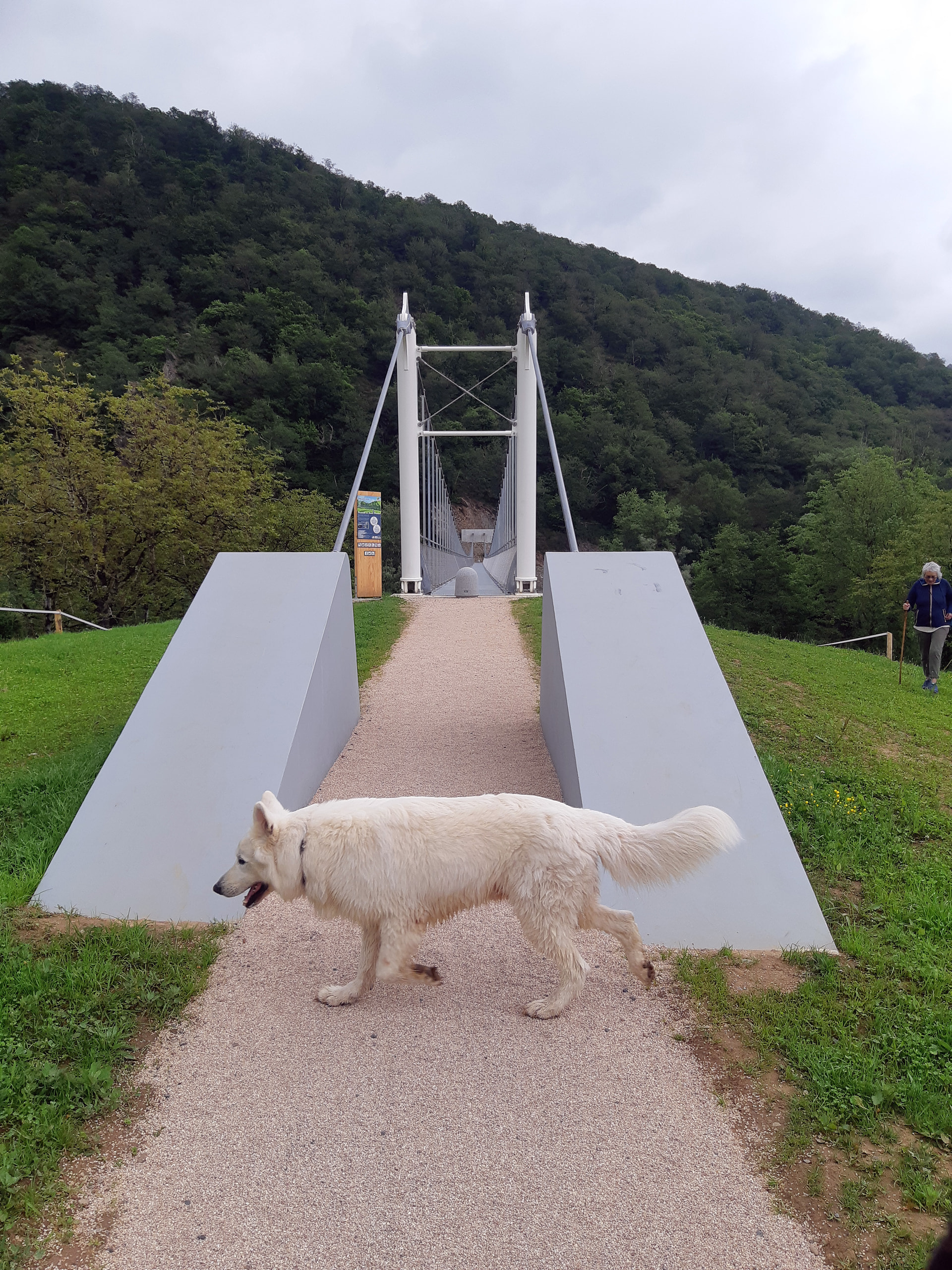
With dogs…
Ruud’s youngster is a tad suspicious - hmm - not seen one of these before…
Whereas Lupo (who’s getting on in years) doesn’t appear to have noticed it at all…
I’m first across 'cos I wanted to grab some photos, strange disconcerting sensation walking on the bridge because it bounces very slightly and made me think of the Tate/St Pauls Millenium Bridge problems (interesting video explanation)
Lots of new ‘do nots’ and just a few ‘dos’.
But the most important one is don’t use the bridge during an orage!
Gigi’s made it across and is raring to go
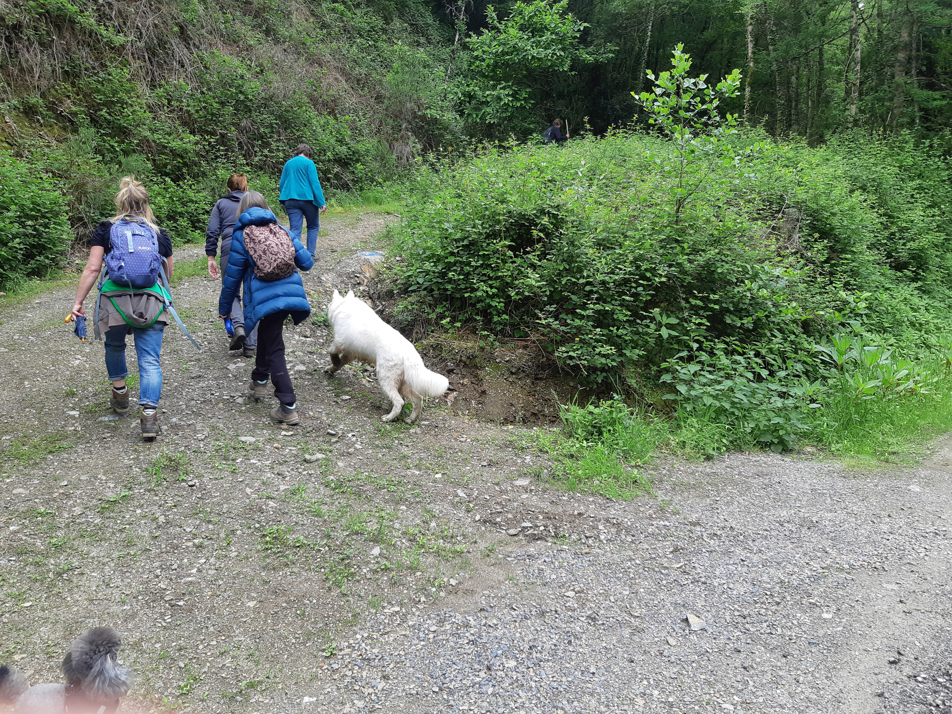
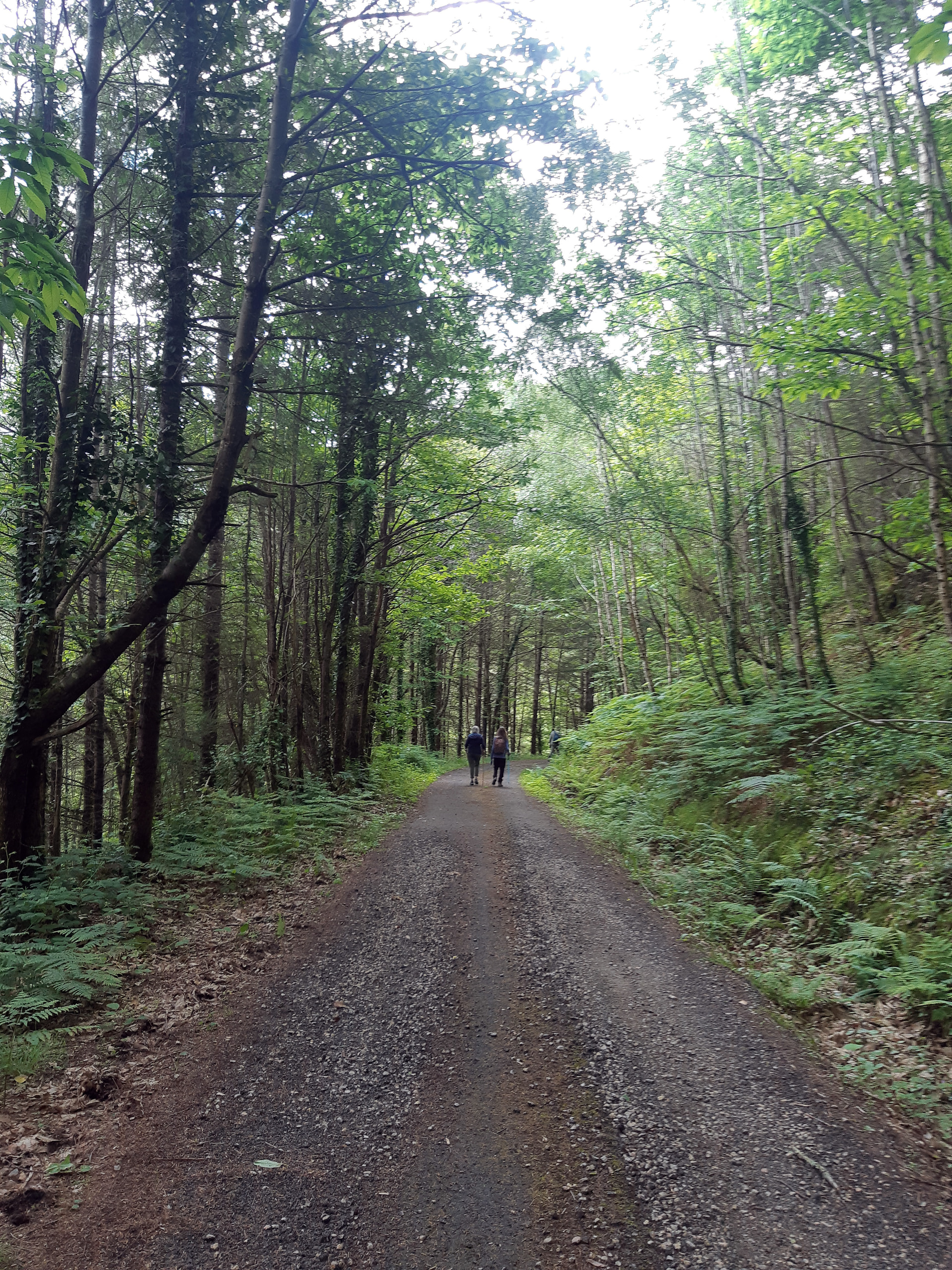
Because the trails on the south bank are new, they haven’t yet been marked and we went wrong a couple of times, which turned a shortish rando into something rather longer. This was the start of the first one -
Of course I raced up the hill, to take some photos looking back and was way ahead of the rest then I realised they’d all stopped and were about to turn round
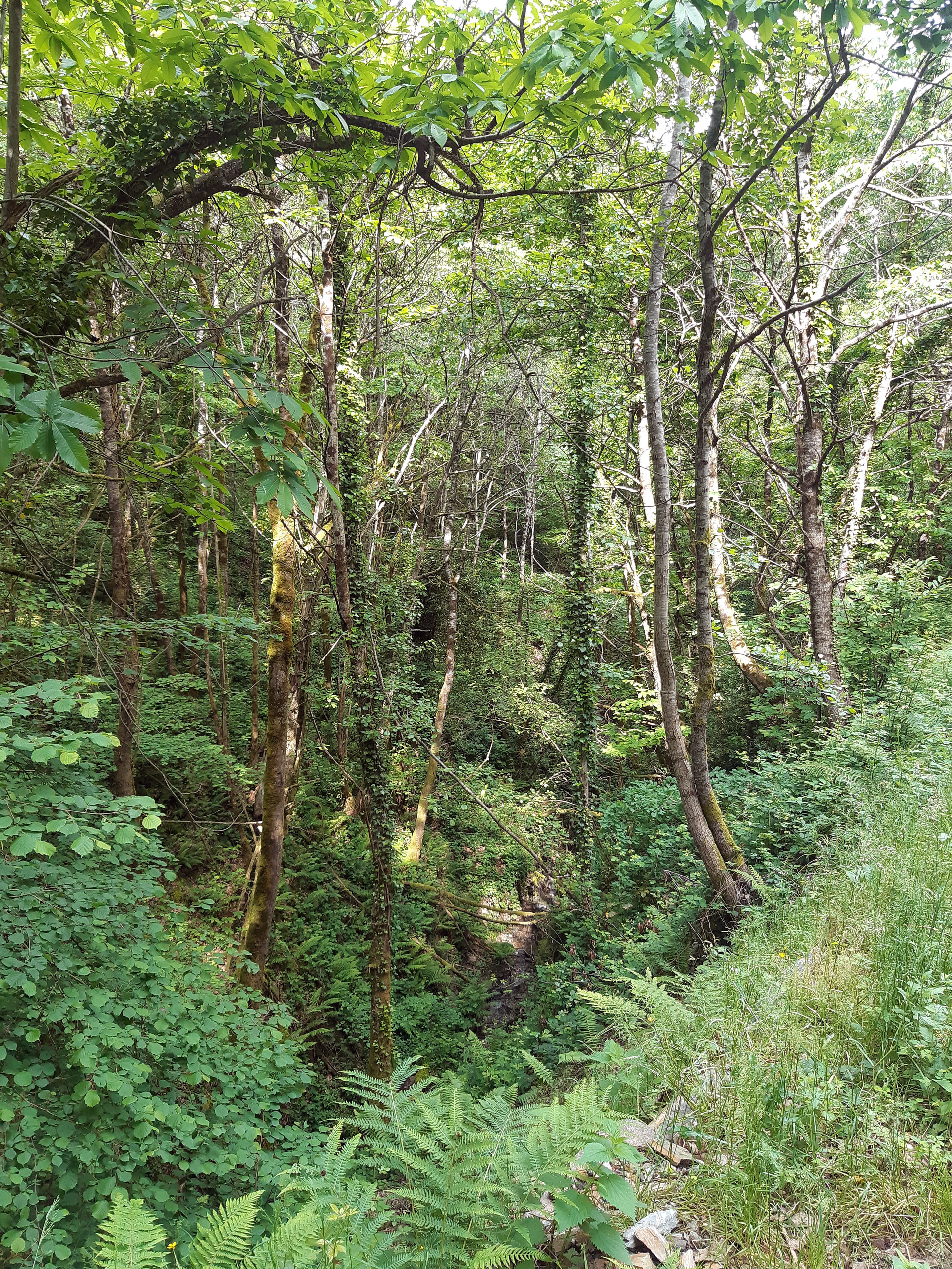
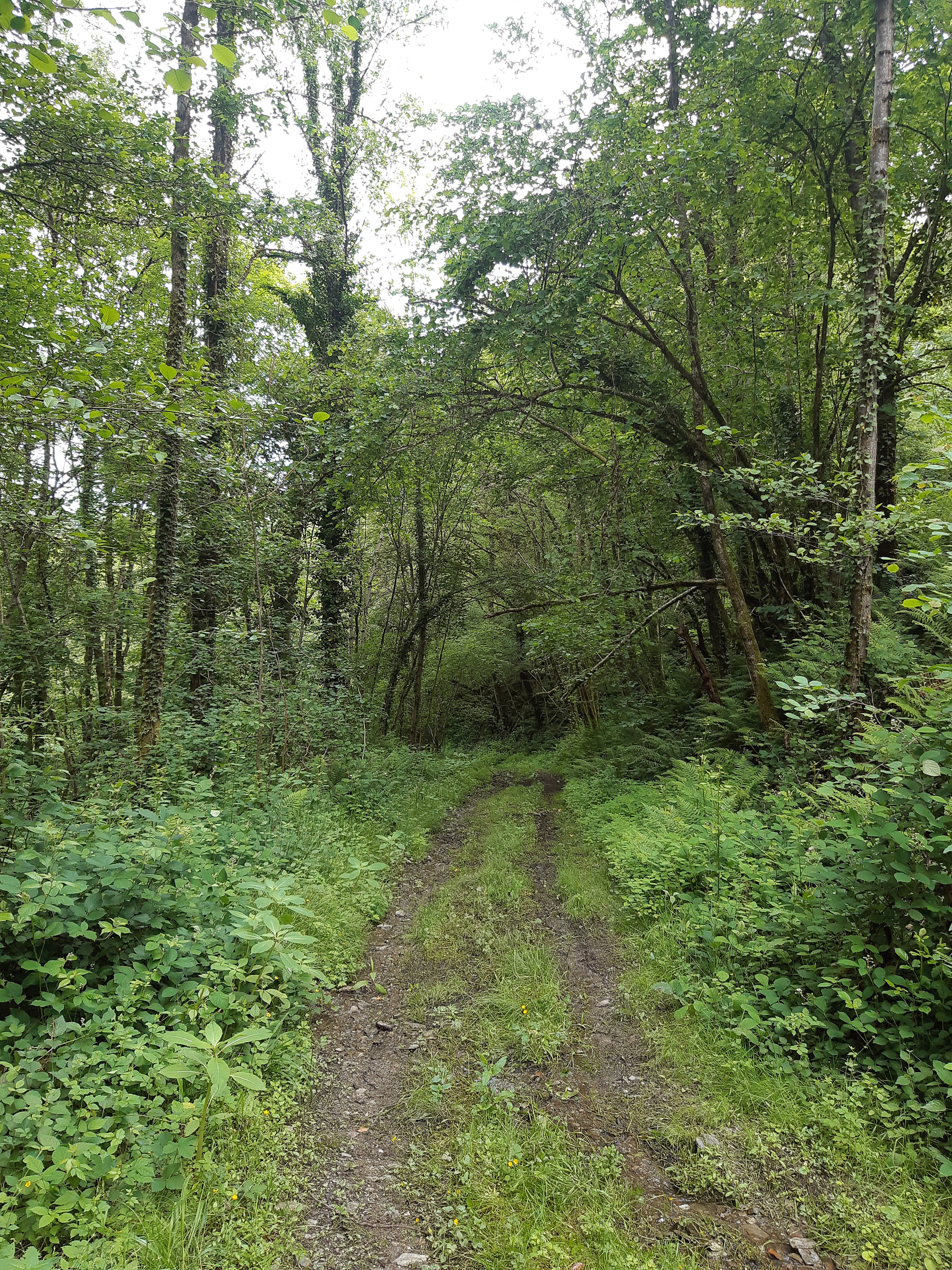
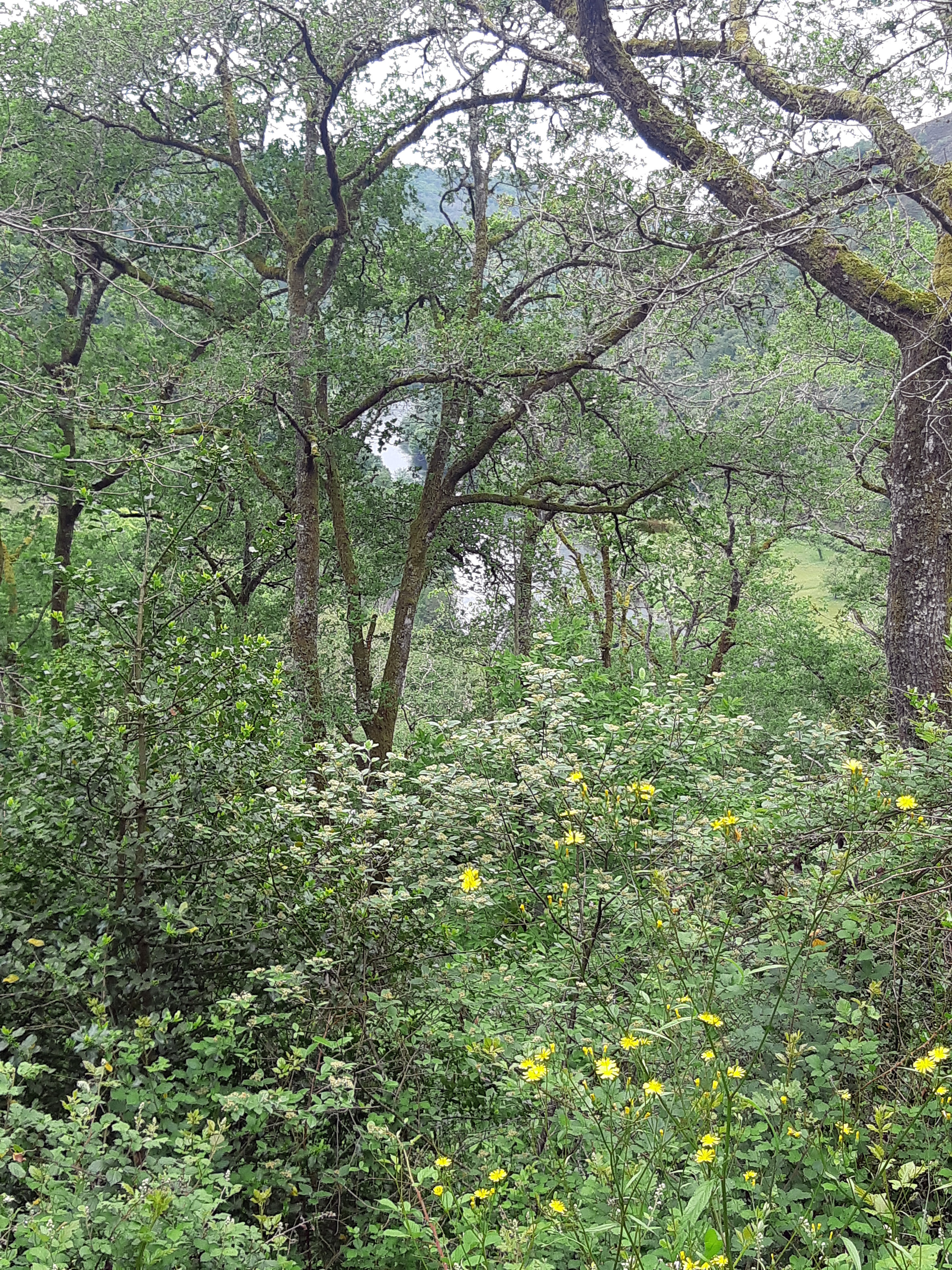
Continuing along the slopes of a valley off the Lot
Until we reach another turning…
So what happens this time? We climb up the hill until Paul, our navigator decides this is another wrong turning, so we walk back down again. But at the bottom he has a rethink and we walk back up again., eventually adding nearly 3kms to the route.
But it’s difficult because the trails haven’t been used much yet and one overgrown track looks pretty much the same as the next
After an hour or so of climbing (that’s just walking uphill) we’re around 500m and nearly above the forest so the views over the Lot Valley should soon start to open up
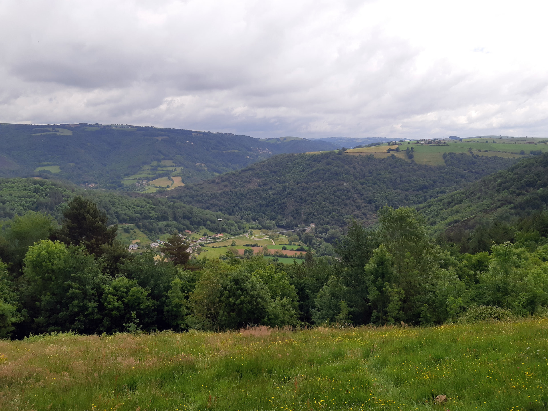
And here they are -
Looking east towards where we started from…
And looking west, down river towards chez nous and the lovely [Chateau de Gironde] -the light dot in the centre of the skyline (https://www.youtube.com/watch?v=HMspEqi0CV0) that we walk to once or twice a year (see Nov 2025 post)
But meanwhile, here at the high point of the walk, there are lots of things much closer to look at:-
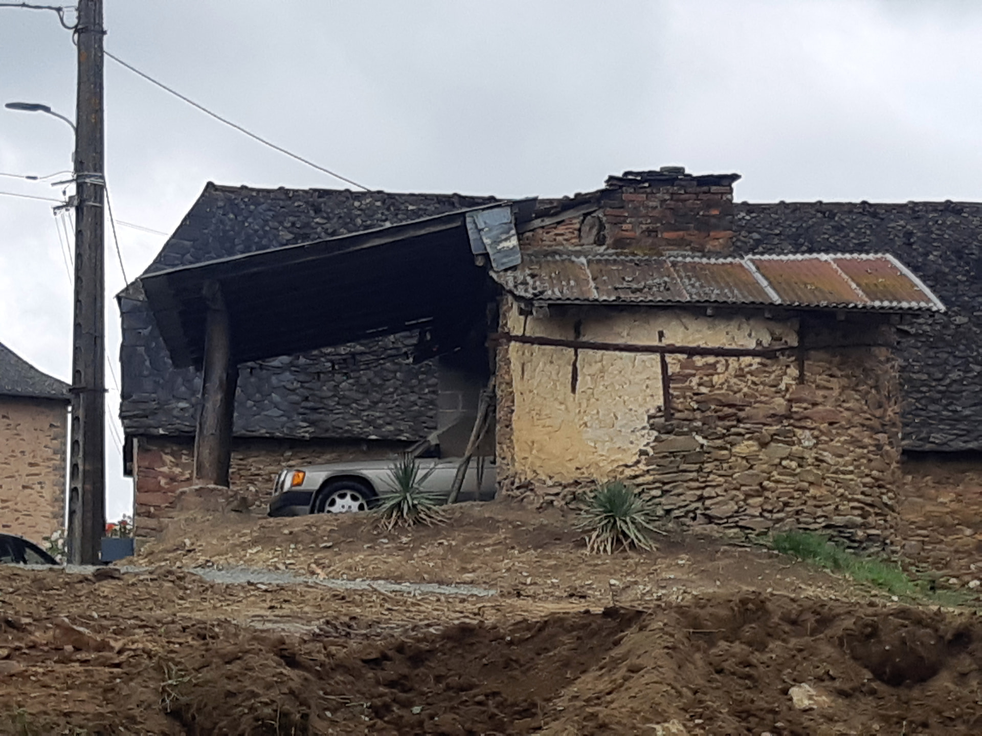
Shed with Mercedes:-
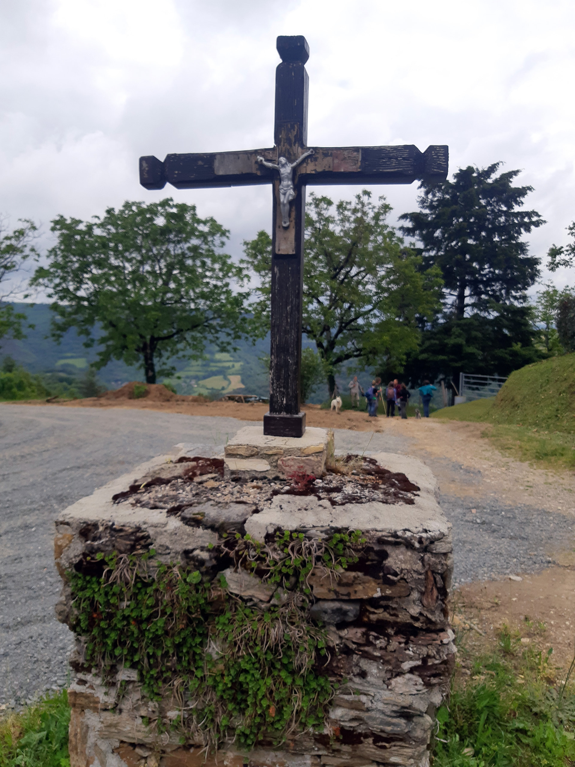
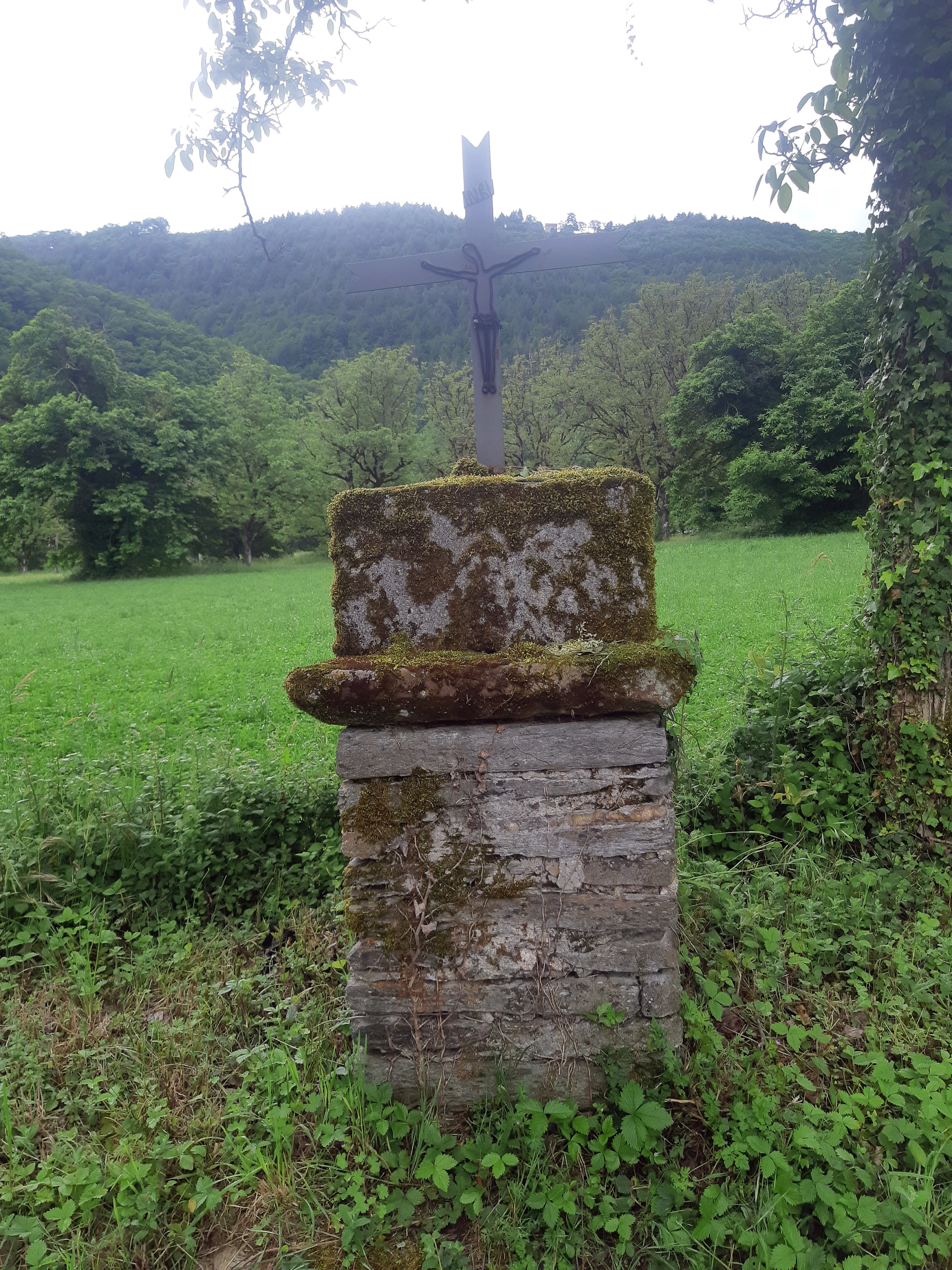
A calvaire at the highest point
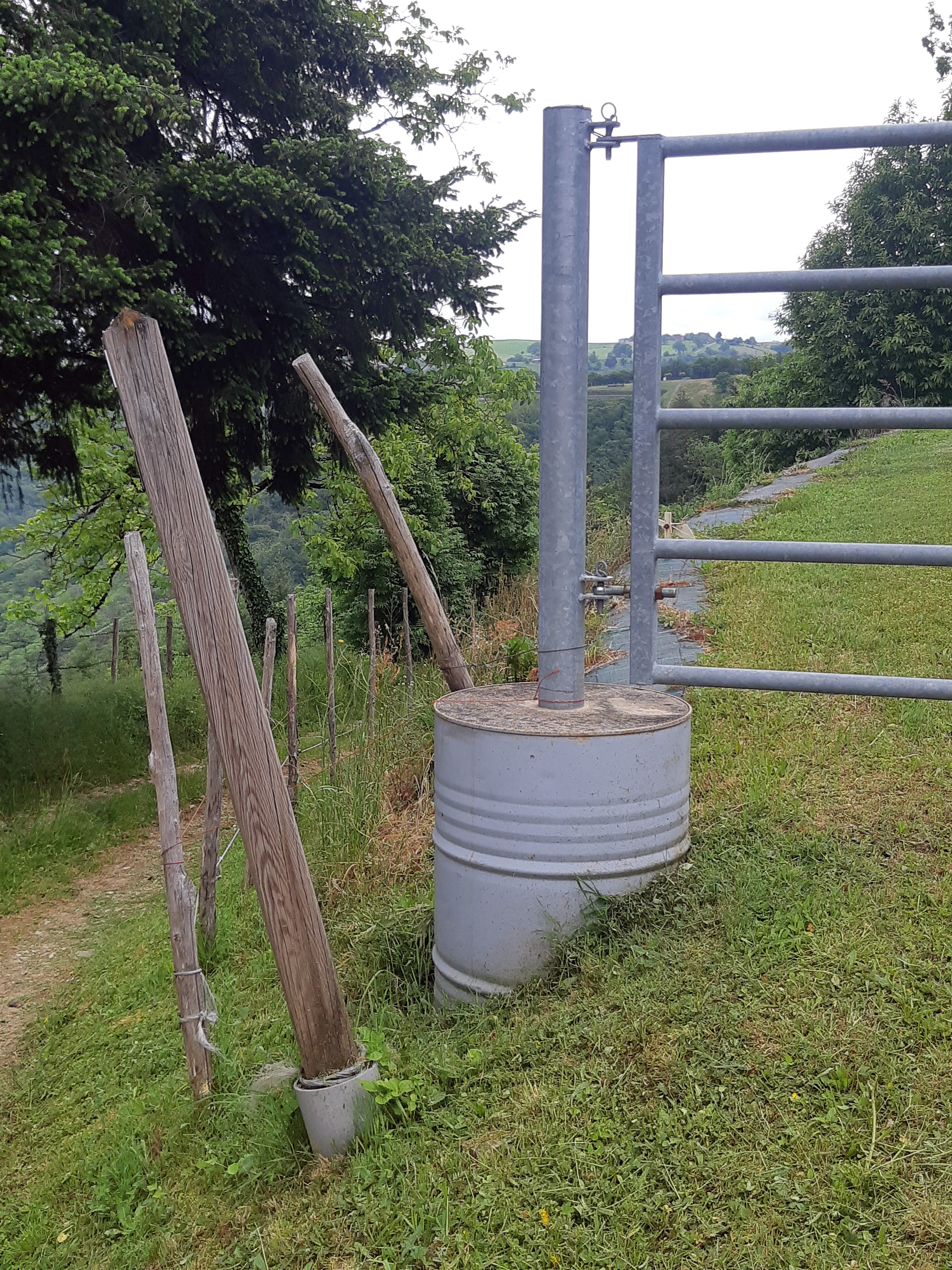
A simple and visually satisfying design solution:-
A fine lauze-roofed barn:-
And a sheepdog practising its sheep herding manoeuvres for our amusement:-
And now it’s downhill from hereon, but not easy because the track is new and largely untrodden, but navigation is easy because one can refer to the river.
Getting left behind after stopping to remove stones from trekking sandals (everyone else sensibly walking in boots)
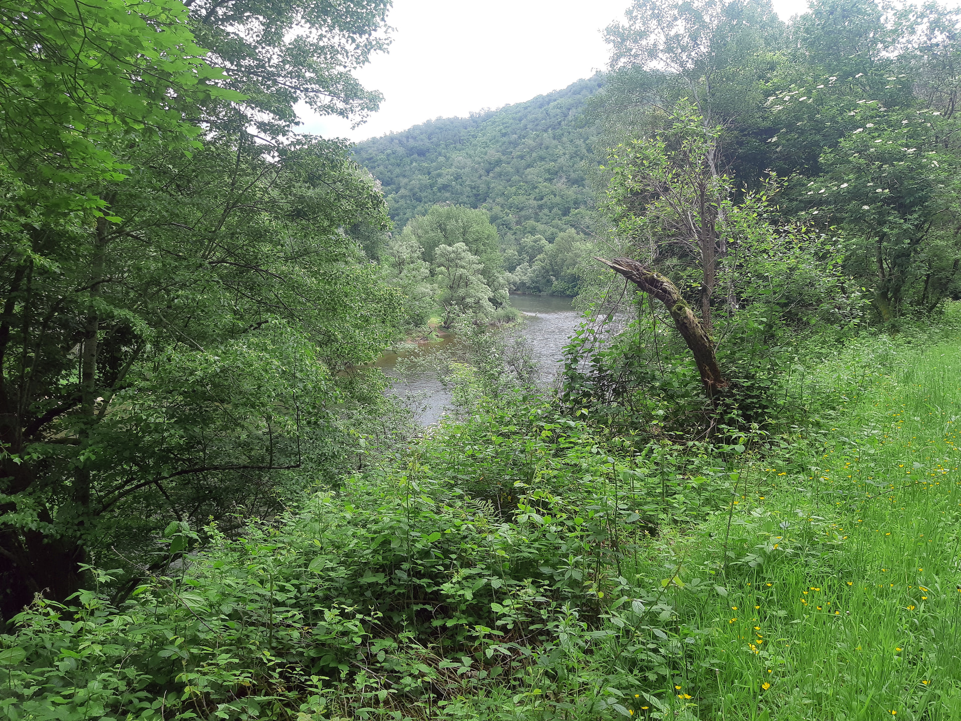
Back down at the Lot:-
Then back over the bridge -
And a different route back to our starting point along the smart (slightly boring) new path linking the bridge and the village
Nevertheless, there’s still some interesting sights along the way:-
That’s better!
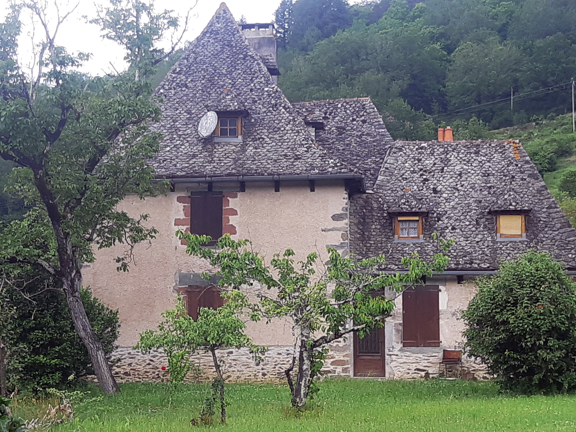
The dark red Marcillac sandstone around the windows has come from some distance away and suggests the house either isn’t very old, or more likely, it’s an old house whose windows were enlarged. That’s the case with ours which probably was built around 1400, but the current window openings were probably made after 1820 and before 1860 (invention of the tool used to dress the stone and photographic evidence)
But never mind all that - look at the size of this lintel!
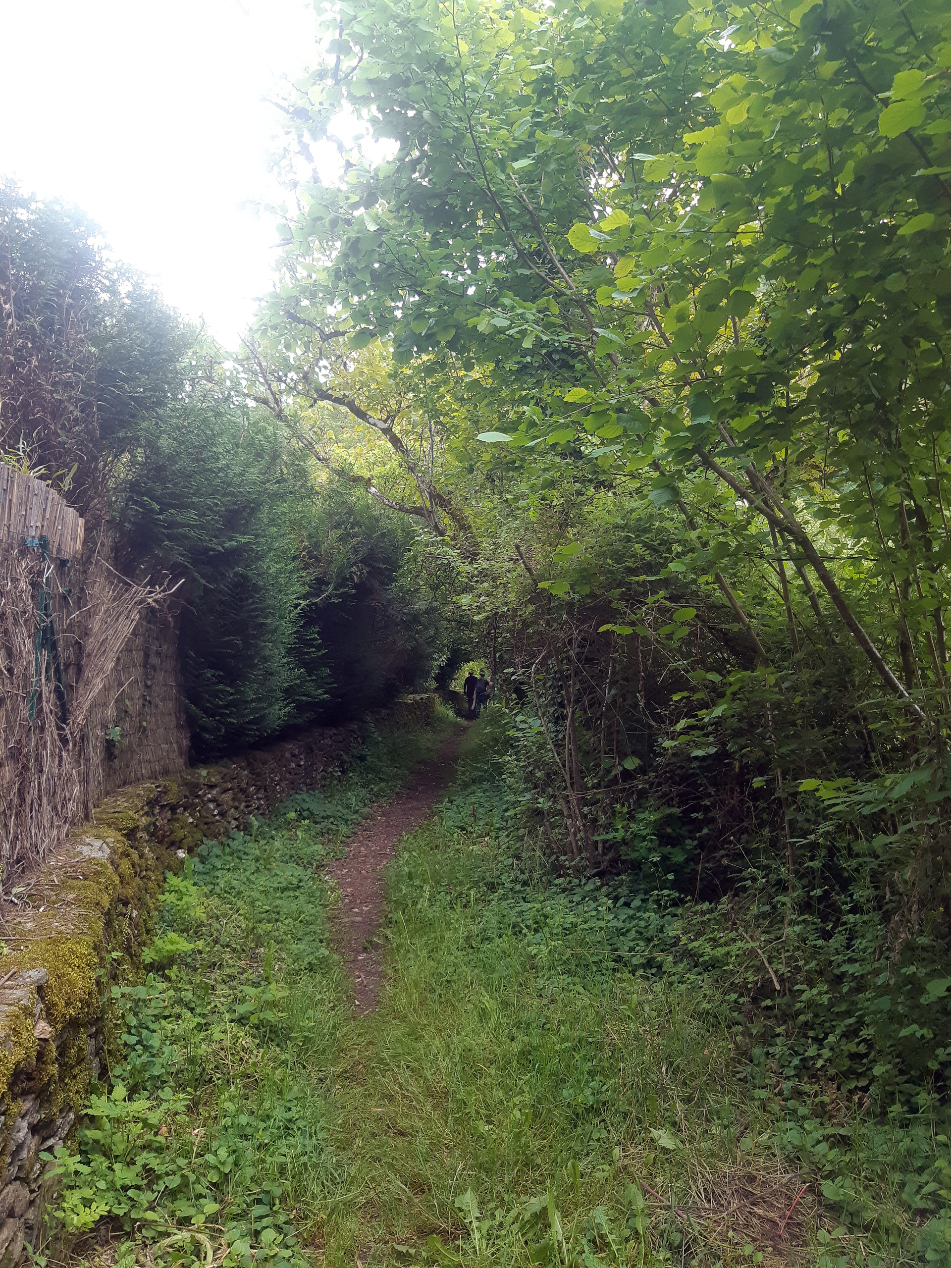
The charmingly unmodernised path back down to the Lot -
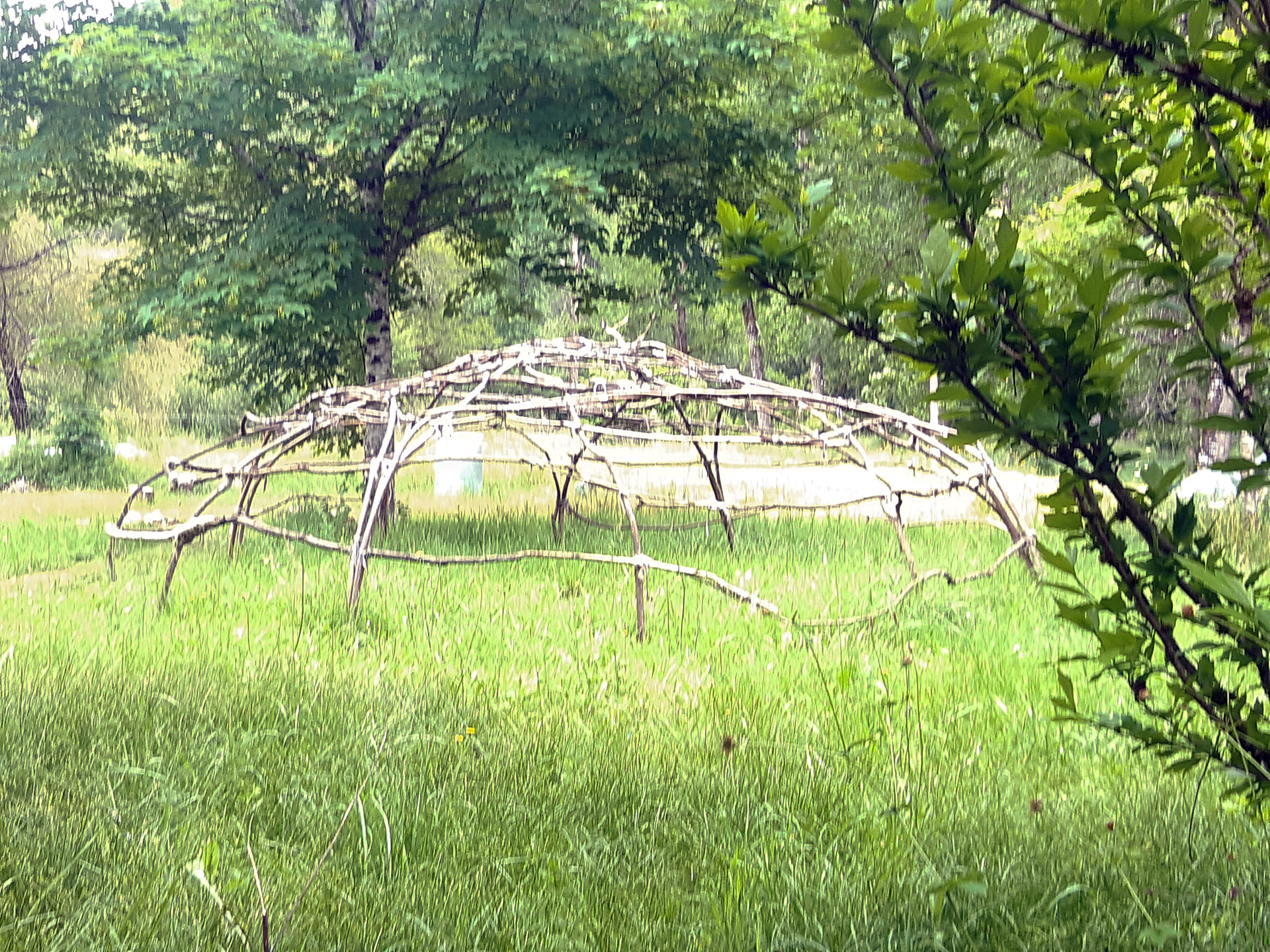
Possibly an early Aveyronnais prototype that inspired Buckminster Fuller’s geodesic domes?
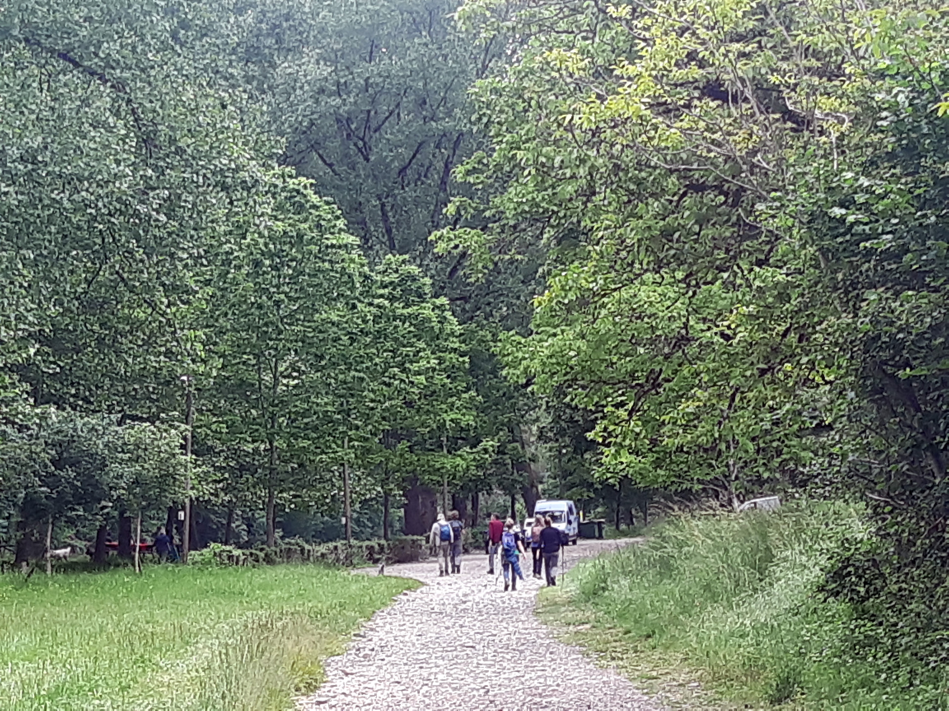
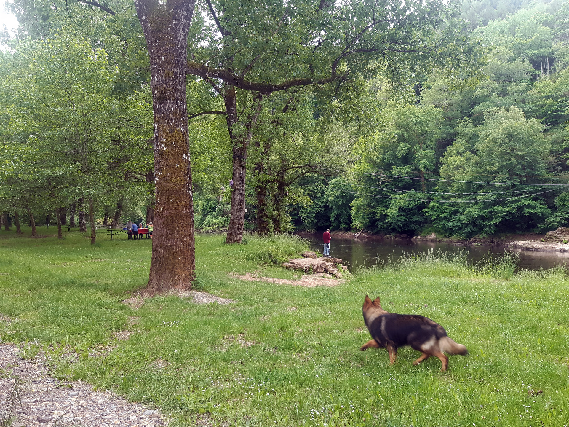
More importantly, we’re nearing the picnic site…
Cor smoking well away from everyone eating, but he’s got the better spot…
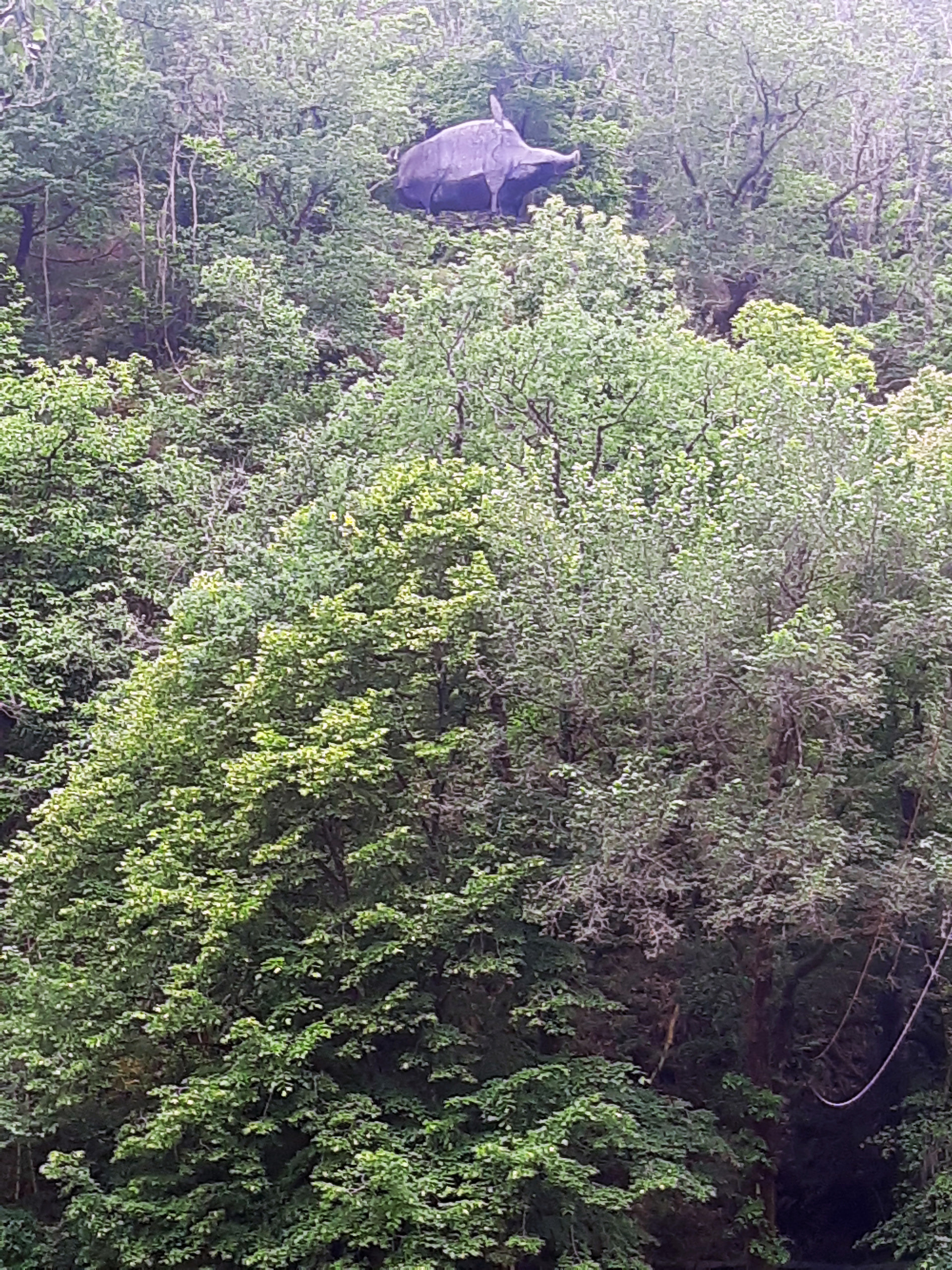
Meanwhile high above, we’re being watched by a giant sanglier
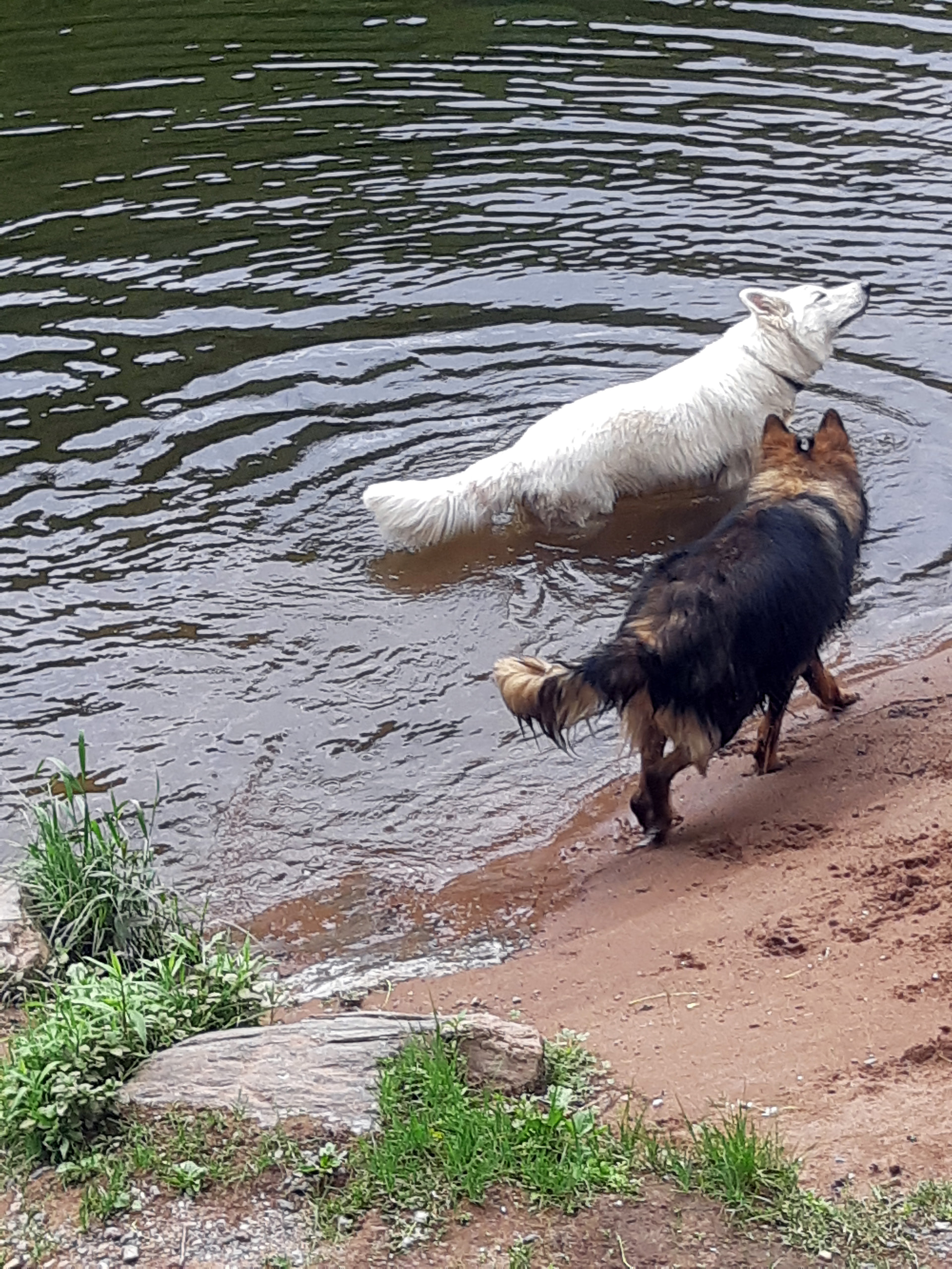
But down below, the dogs don’t care -
Good rando, and one we’ll remember…
Good stuff, thanks. I wonder if you share a thought madame sometimes expresses - ‘No one takes a photo of me…’ ?
Is Gigi allowed to go for a swim ?
She’s allowed to but chooses not to, which is odd because poodles were originally bred as water retrievers for wildfowl shooting.
Maybe just doesn’t want to spoil her coiffure (may have learned that from her mistress).
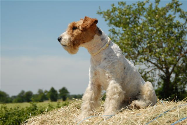
Annie, our fox terrier no longer with us, used to love the water. Here is a before and after picture of her ! (sorry for the blurred image)
Is thst a gravestone next to the geodesic dome in your picture?
It seems to be facing the wrong way for a waymarker.
It’s not on the path but hard to tell what it is 'cos ,the quality of the photo’s so poor - the phone’s camera settings continually jump around and it keeps going into selfie mode, and in answer to @larkswood12’s post above, I’ve never taken a selfie in my life.
The structure’s on private land, so not sure if it’s complete or will become some sort of planting trellis. On reflection, rather than Bucky Fuller’s geodesics, I’m reminded of David Nash’s Ash Dome (very smug that I hadn’t thought about him for years, but his name popped up without hesitation).
Below is a link to a video that documents that work’s development over several decades; it’s also rather poignant poignant because the artist ages as his work grows;-

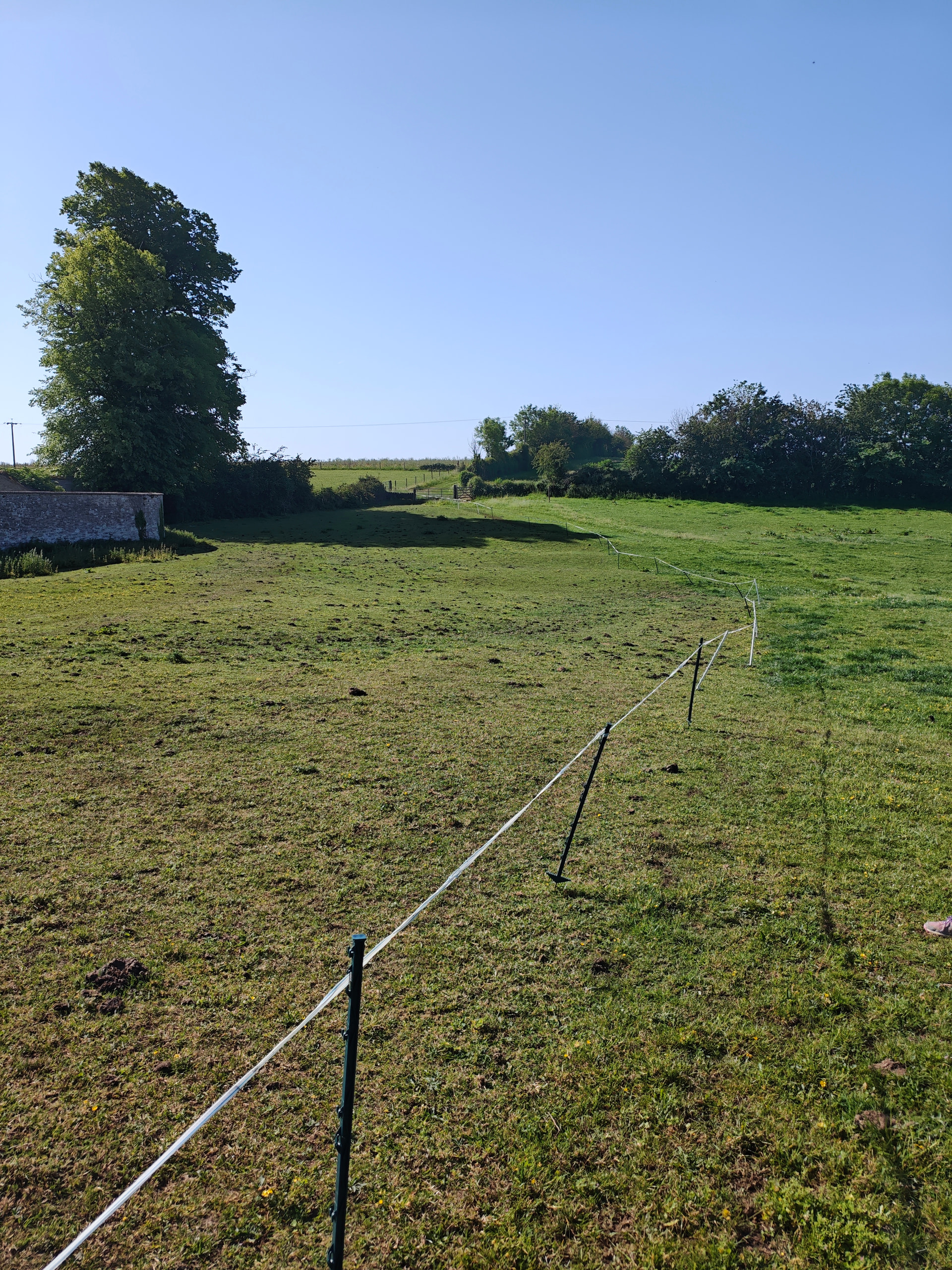
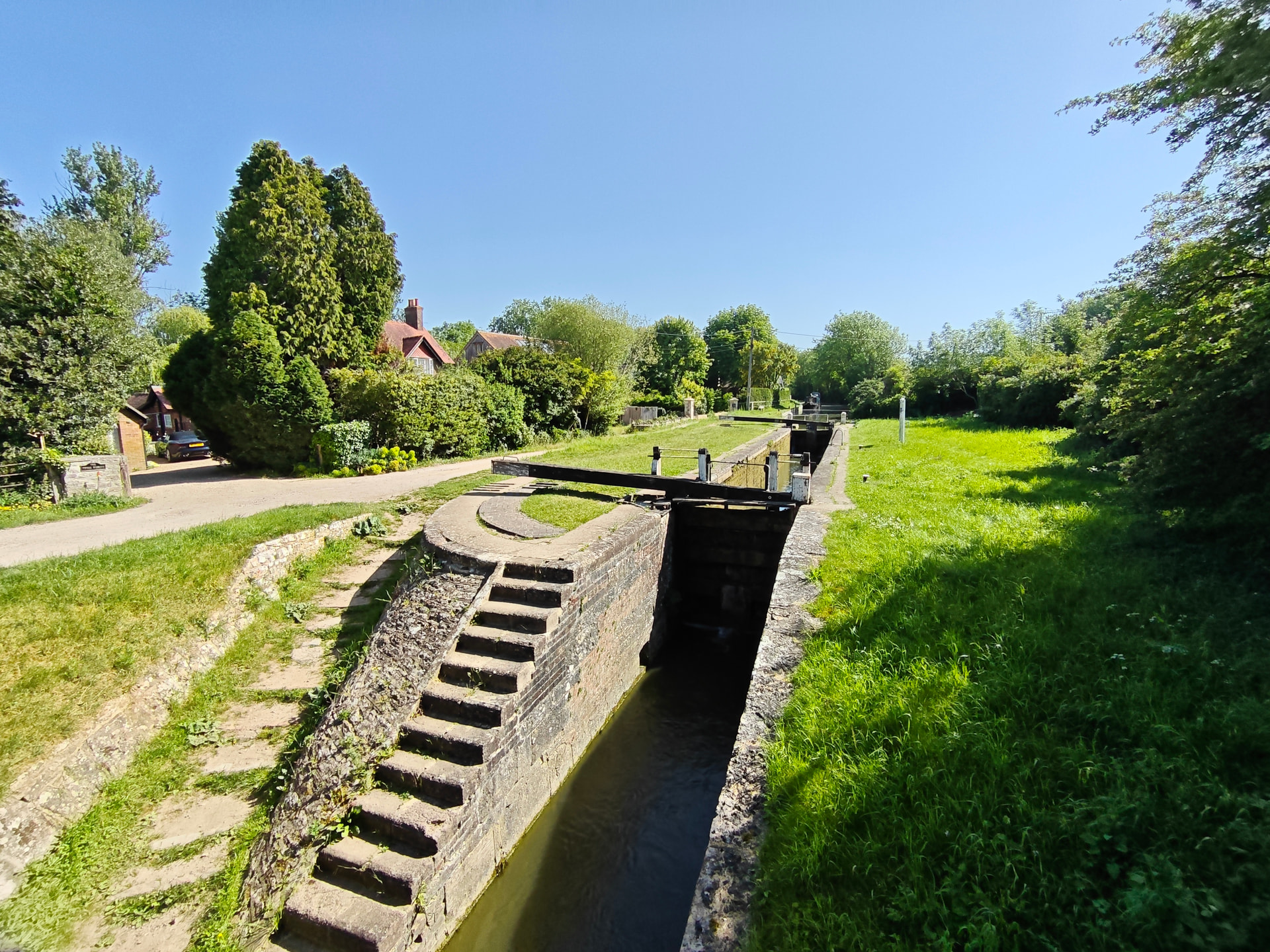
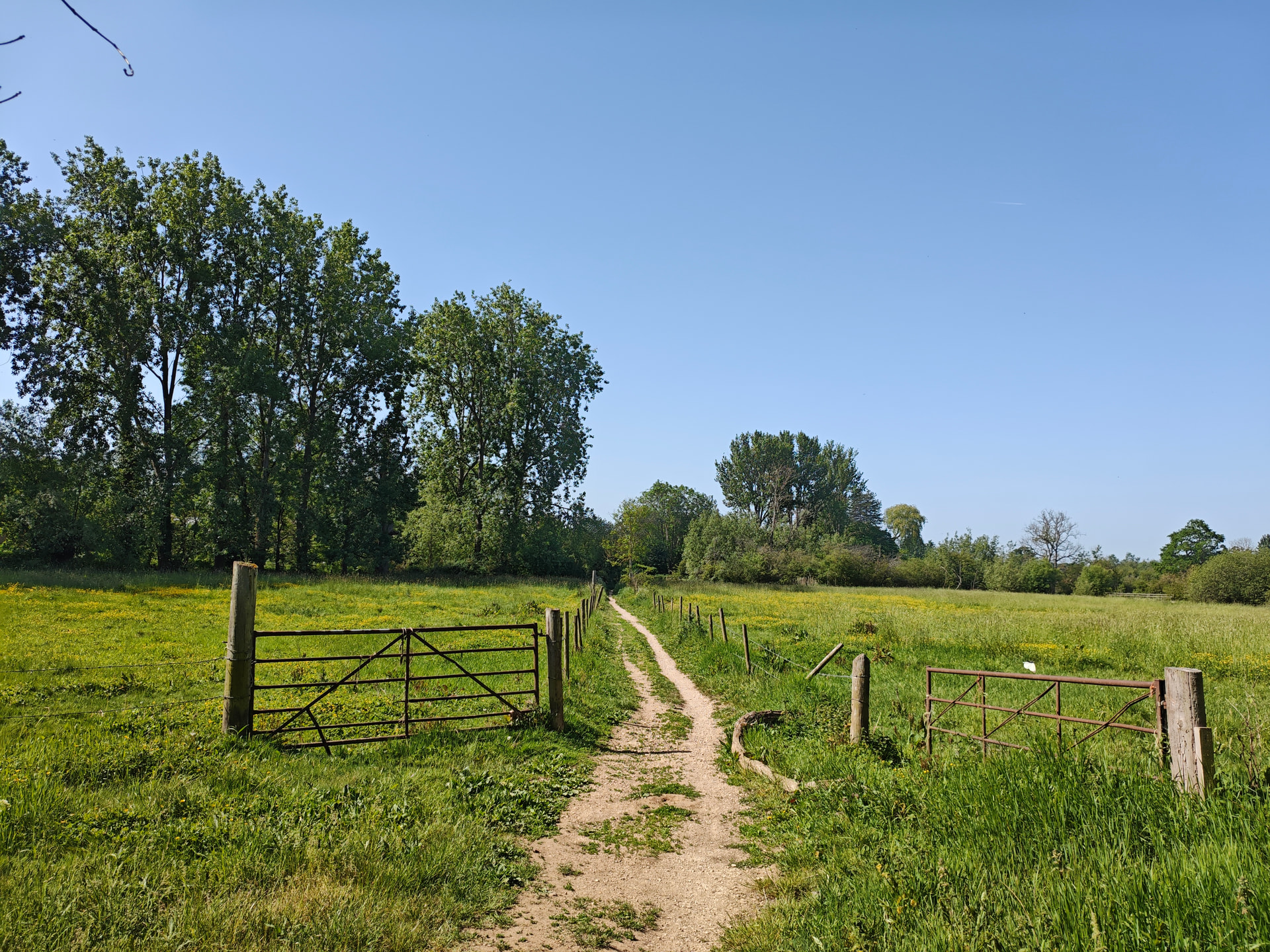
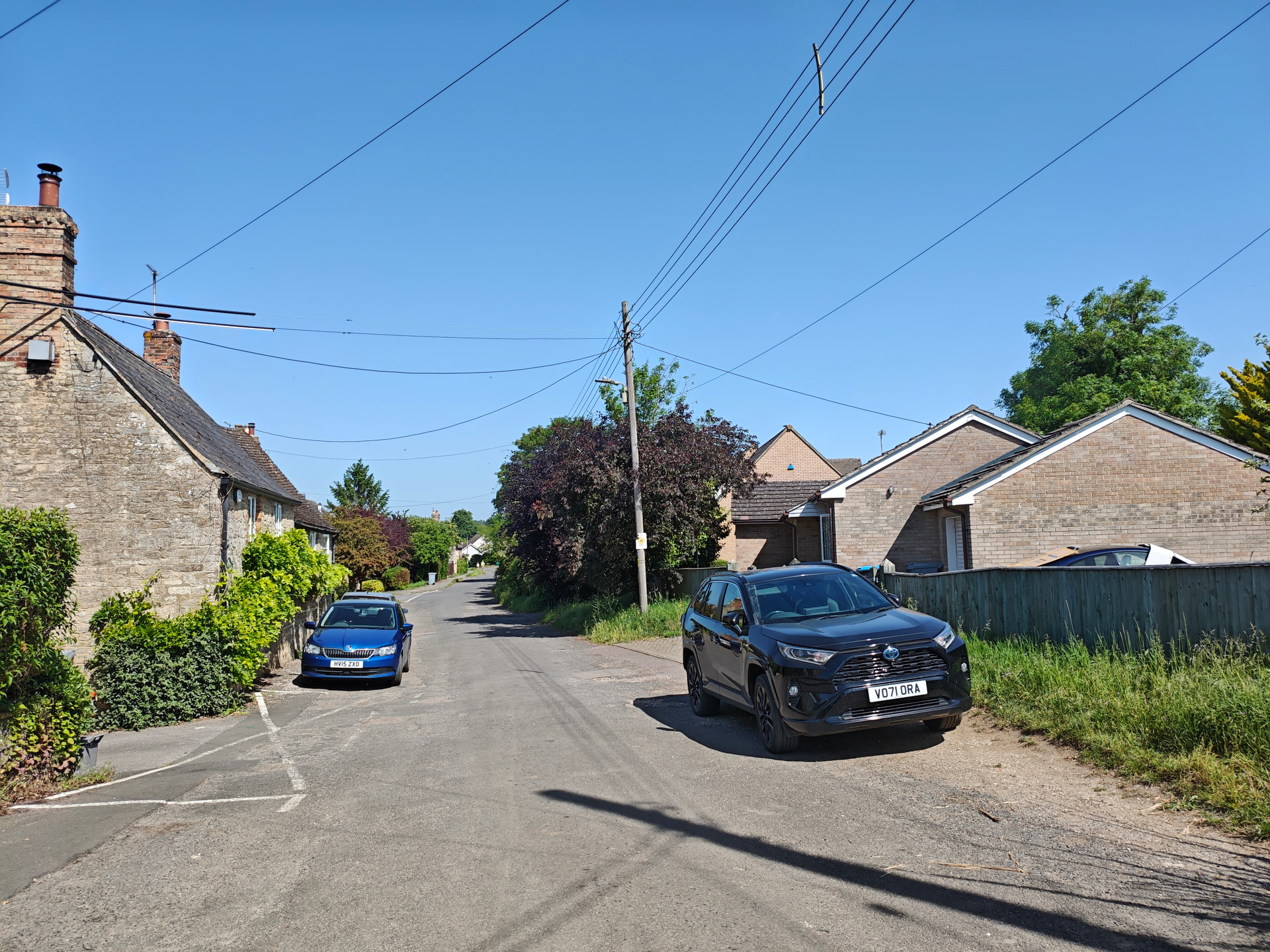
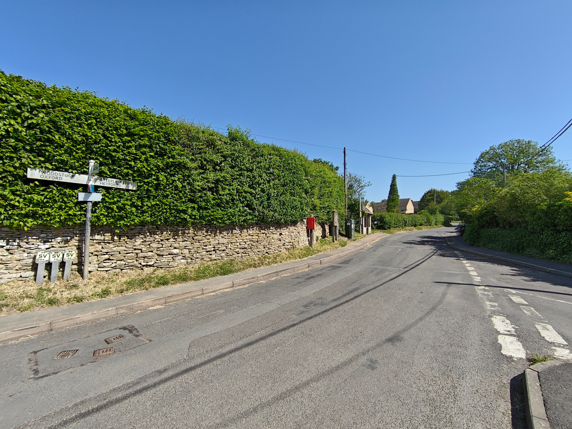
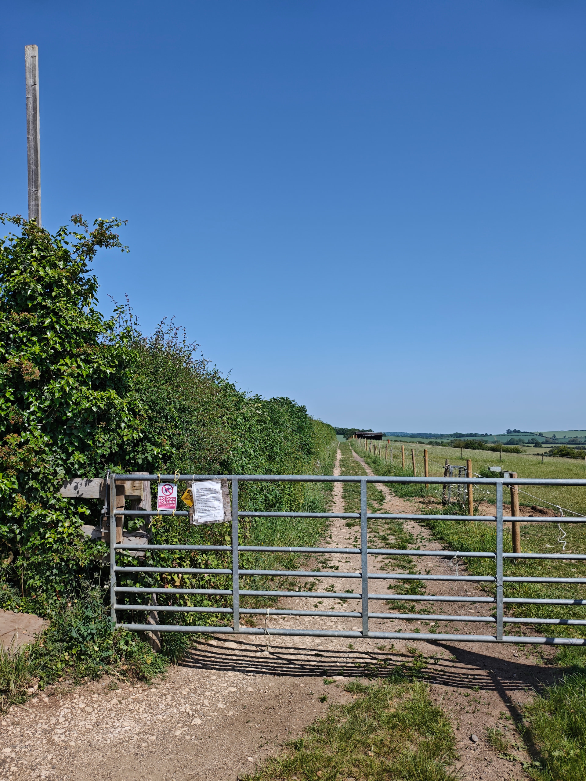
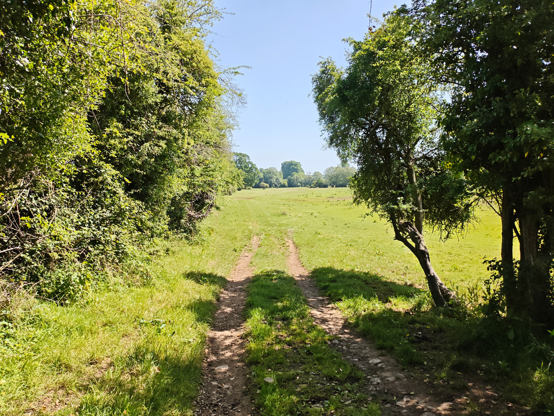
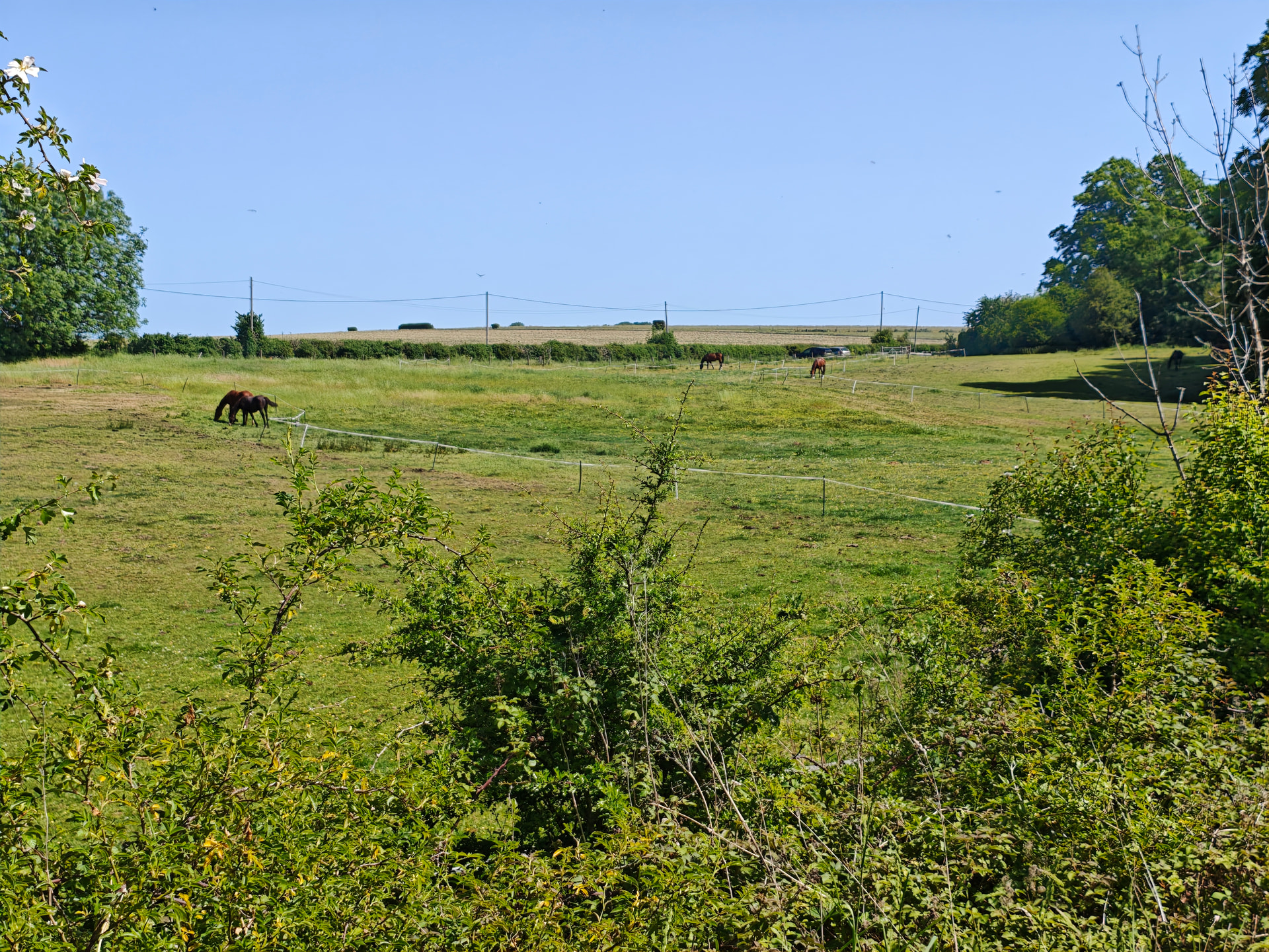
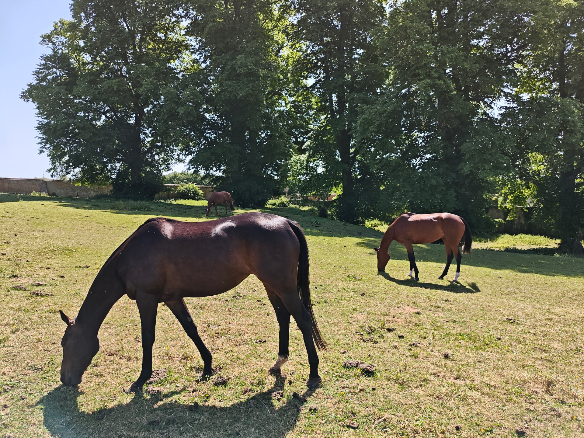
We managed a rando this morning, starting before it got fierce at around 9am from the Hamlet of Northbrook. There’s a couple of farms and about 10 houses there, but the parking space is beyond the settlement on the way to a lock cottage. Park up, walk across a field with horses.
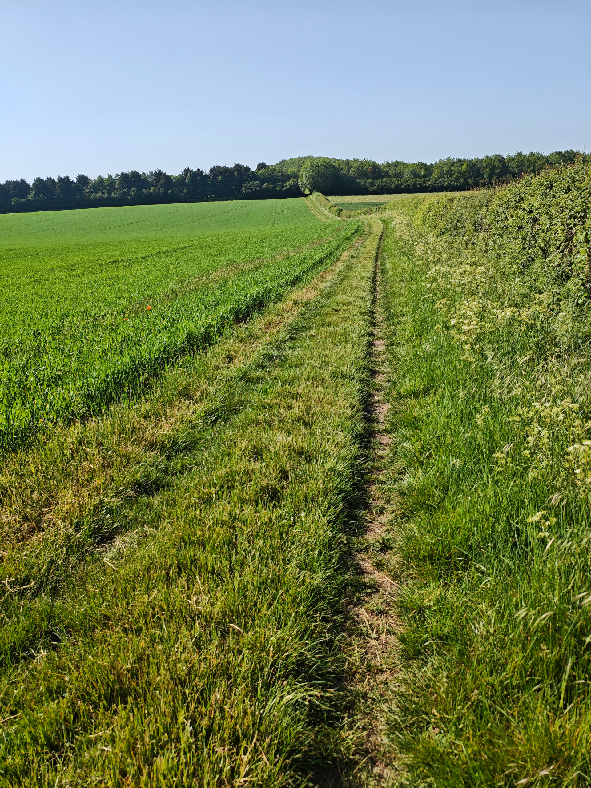
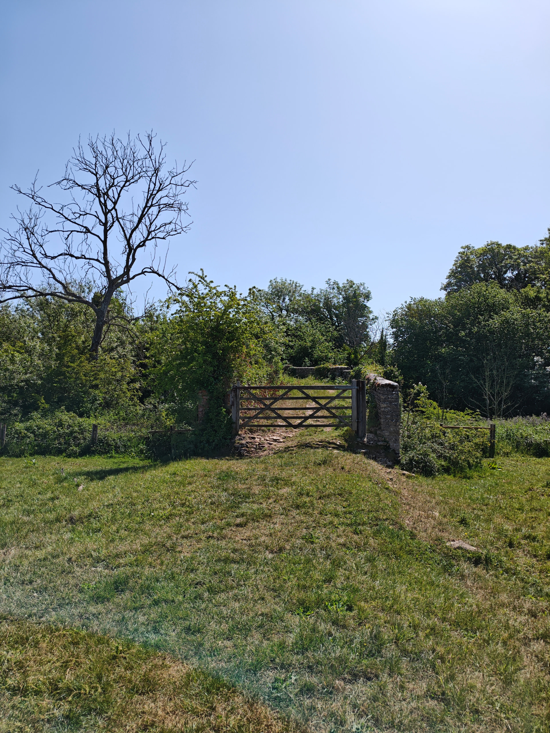
Then through a gate and along tracks that pass through Kirtlington stud before reaching the village itself.
The rest is very dull, so I’ll spare you. Eventually we turned down the bridleway that goes past Kirtlington quarry.
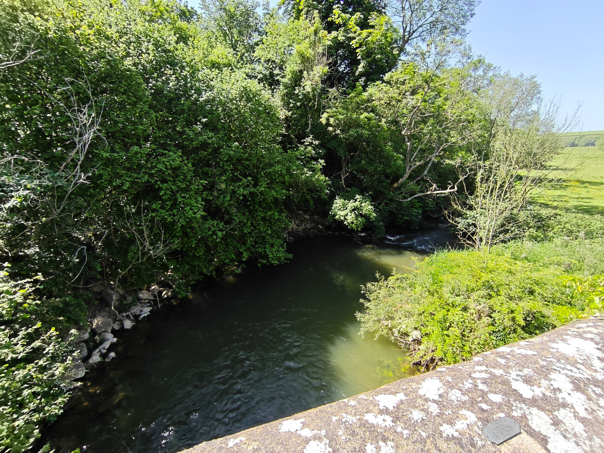
Then drop down to the lock. We cross the bridge here and then went through the small gate on the LHS.
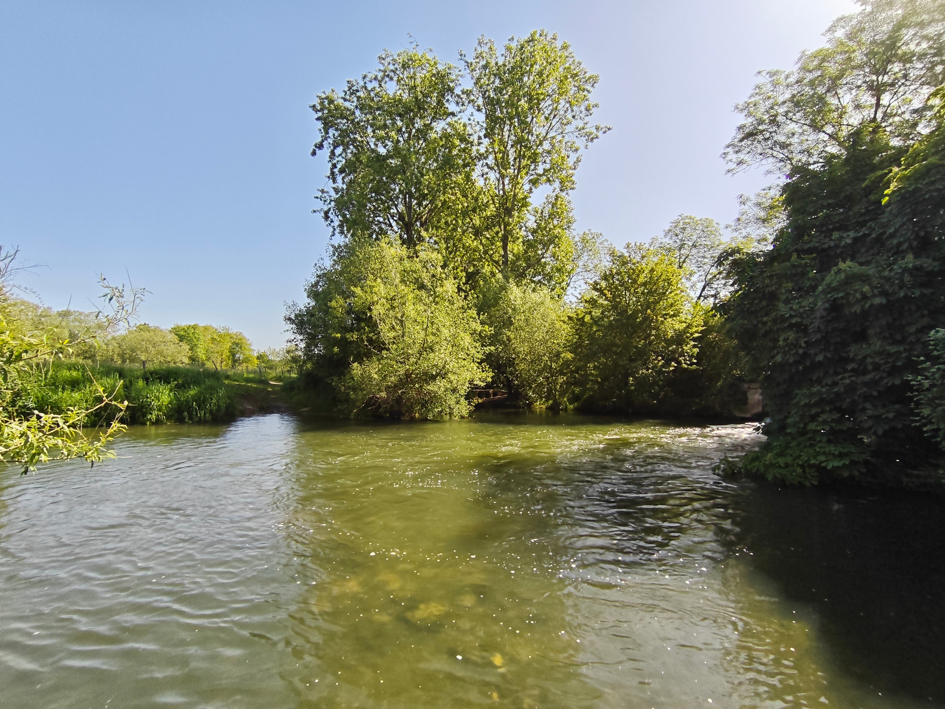
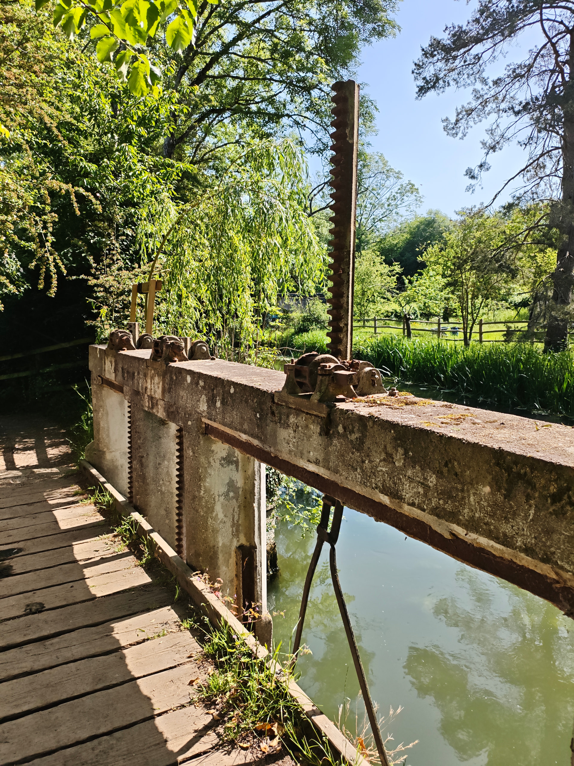
Along a footpath and across a bridge over the river.
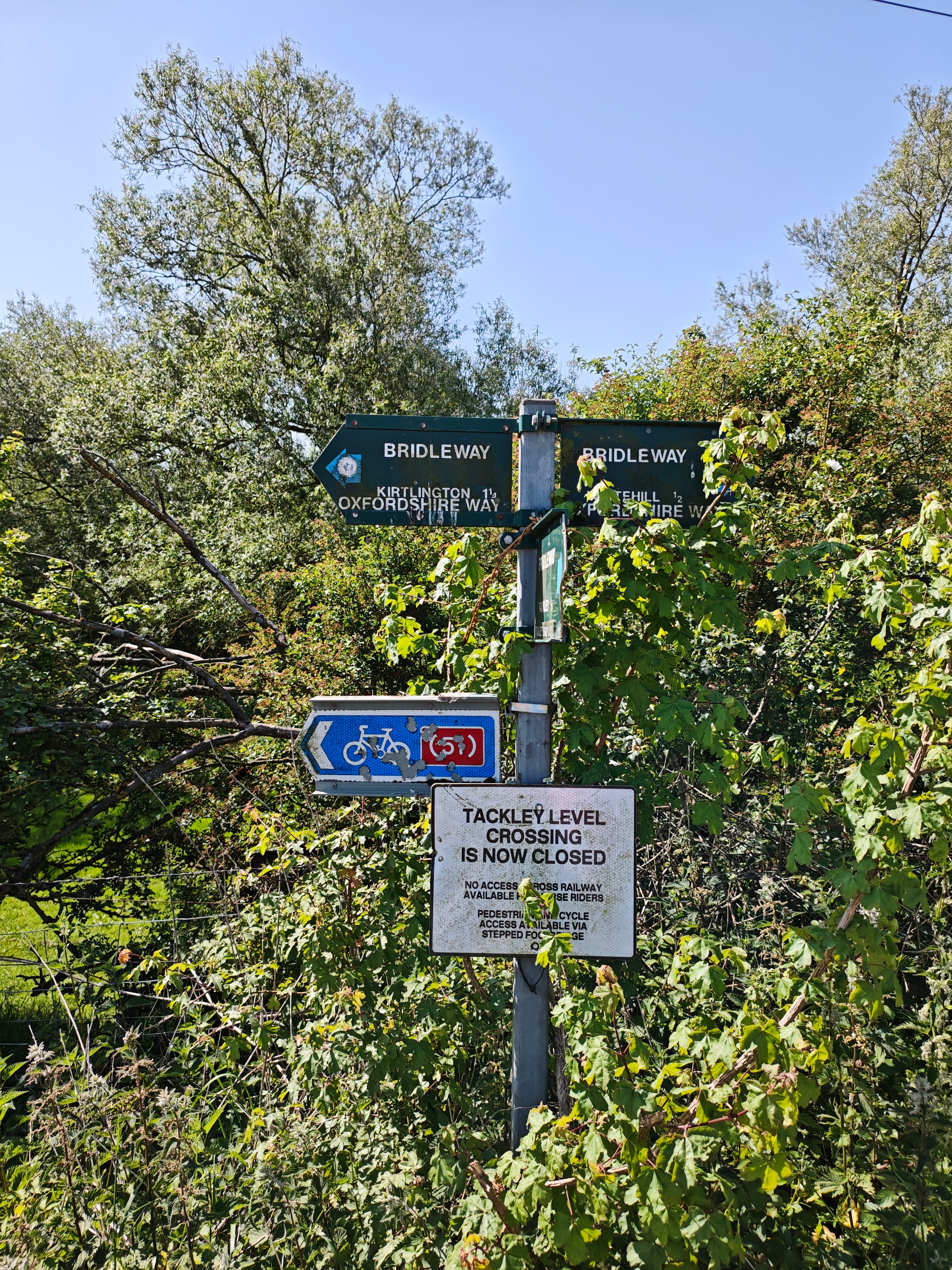
From the bridge there’s a series of footpaths that bring us to Tackley (how home-counties does that name sound!).
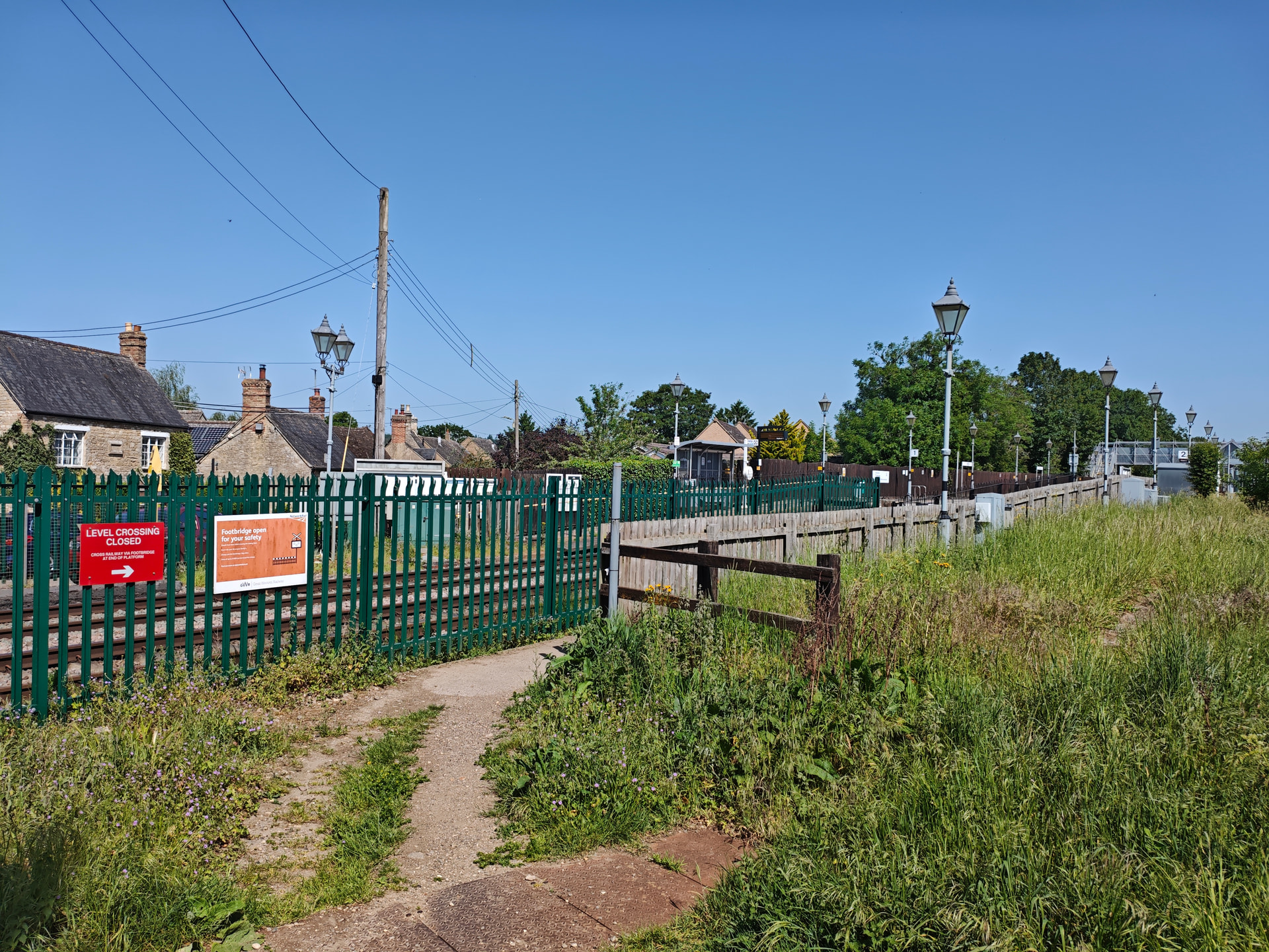
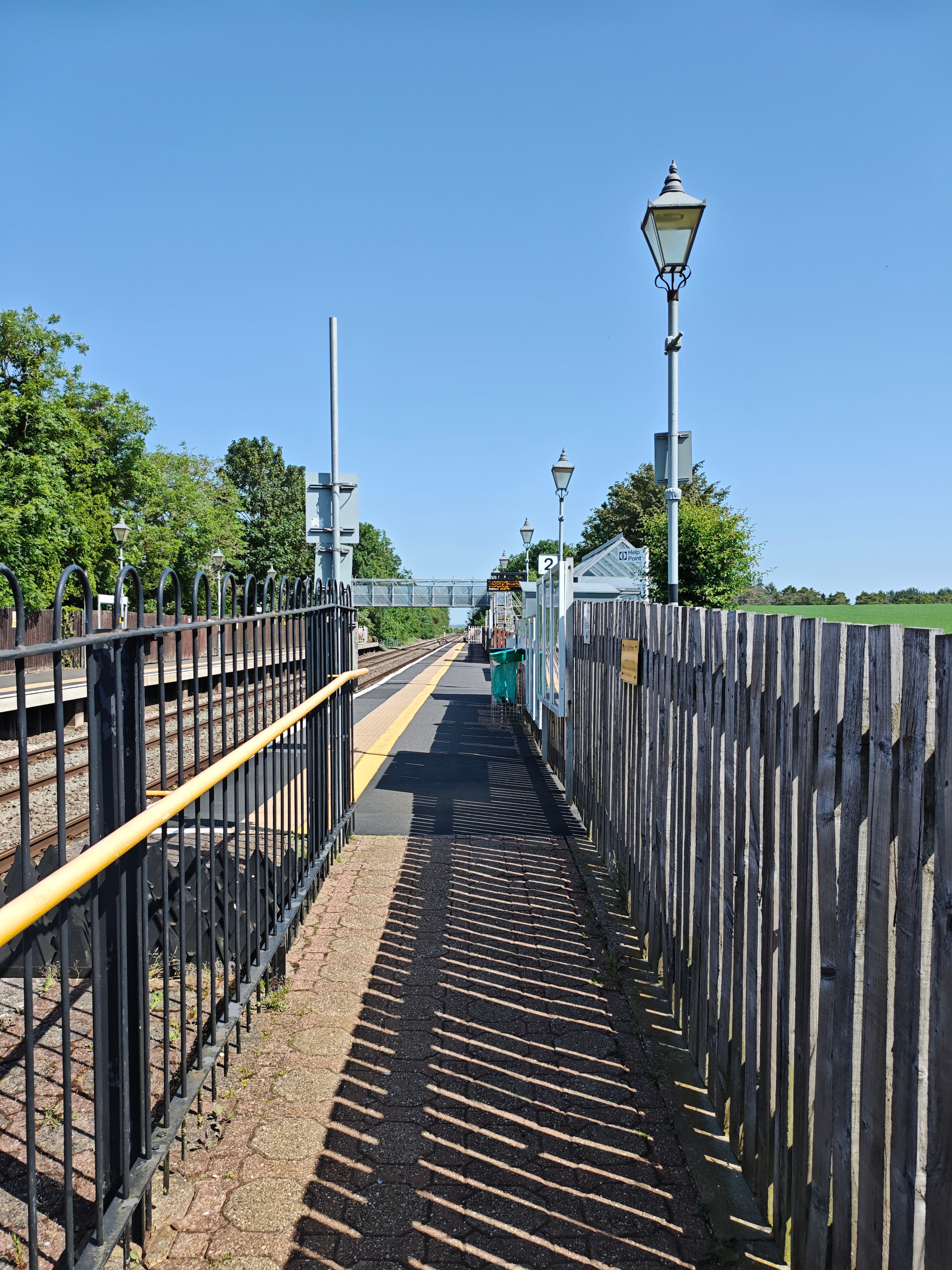
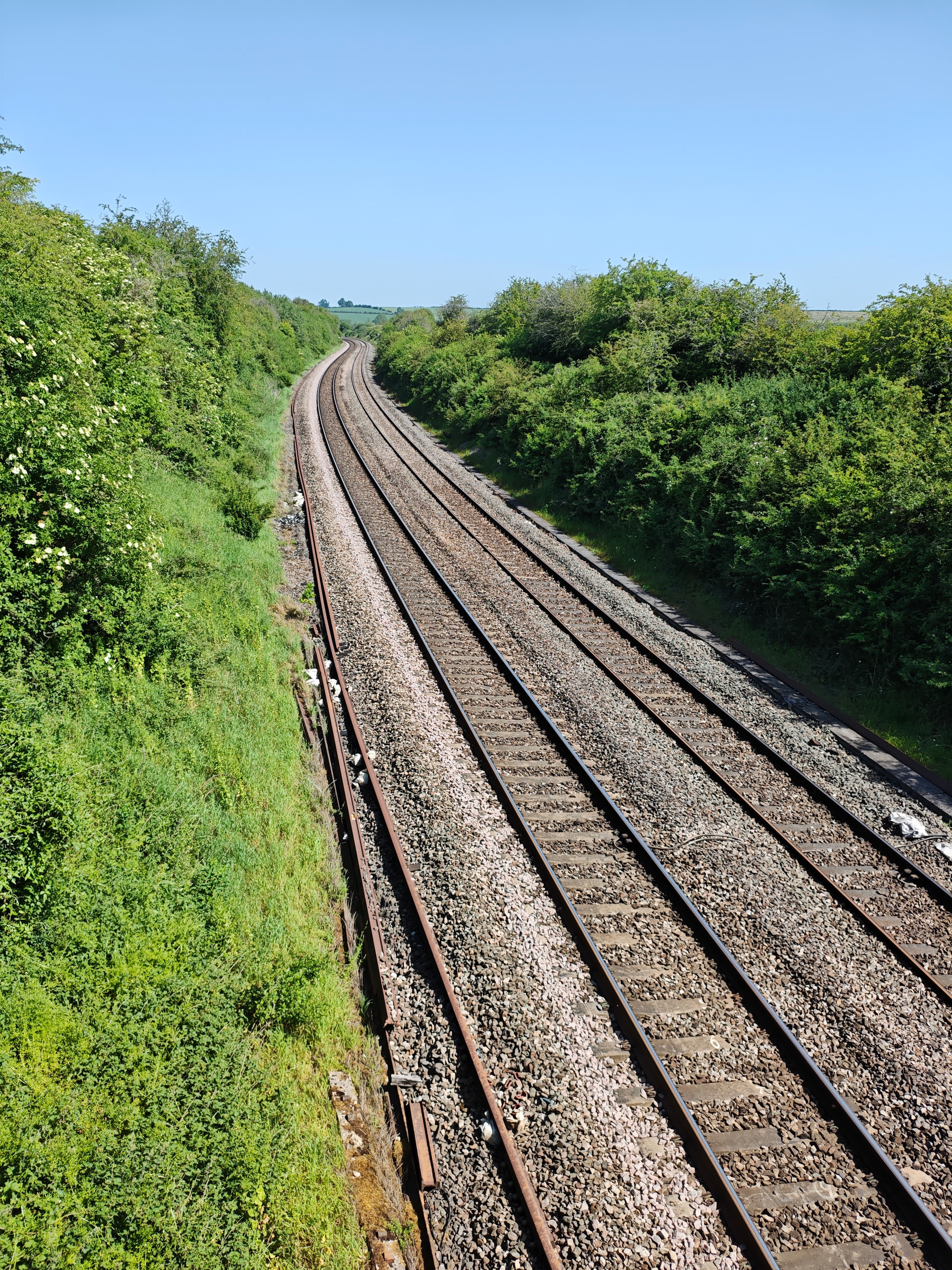
The station used to have a level crossing, allowing movement of animals and vehicles across, but it’s been closed for a few years now, and foot/cycle traffic has to go over a rickety temporary bridge.
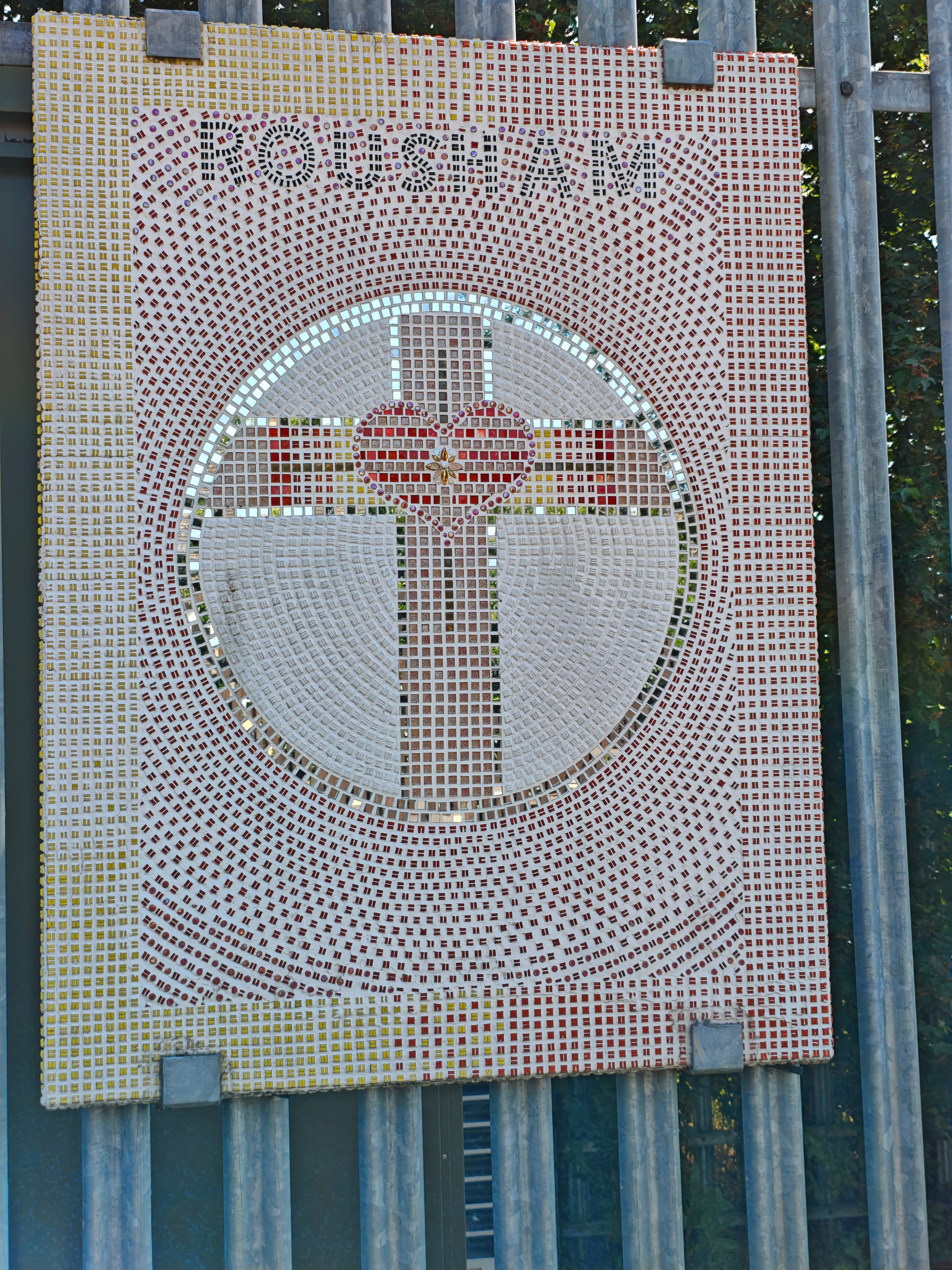
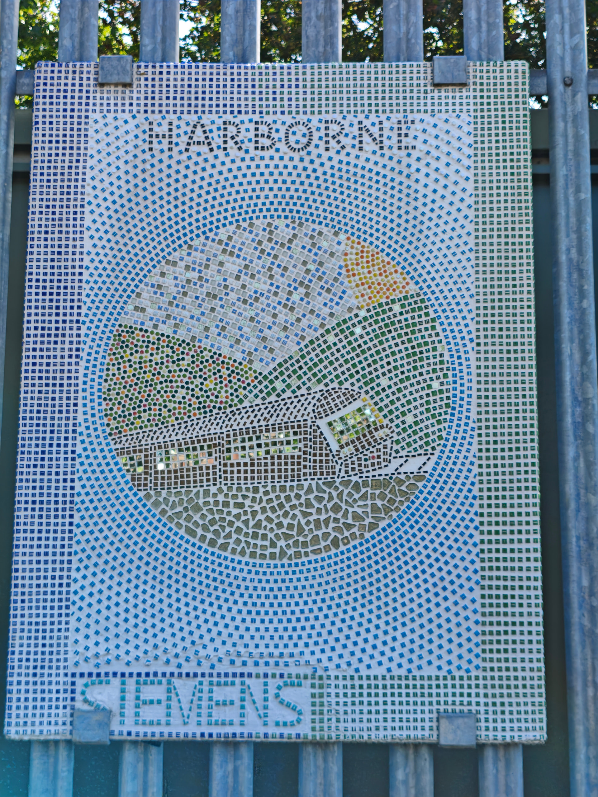
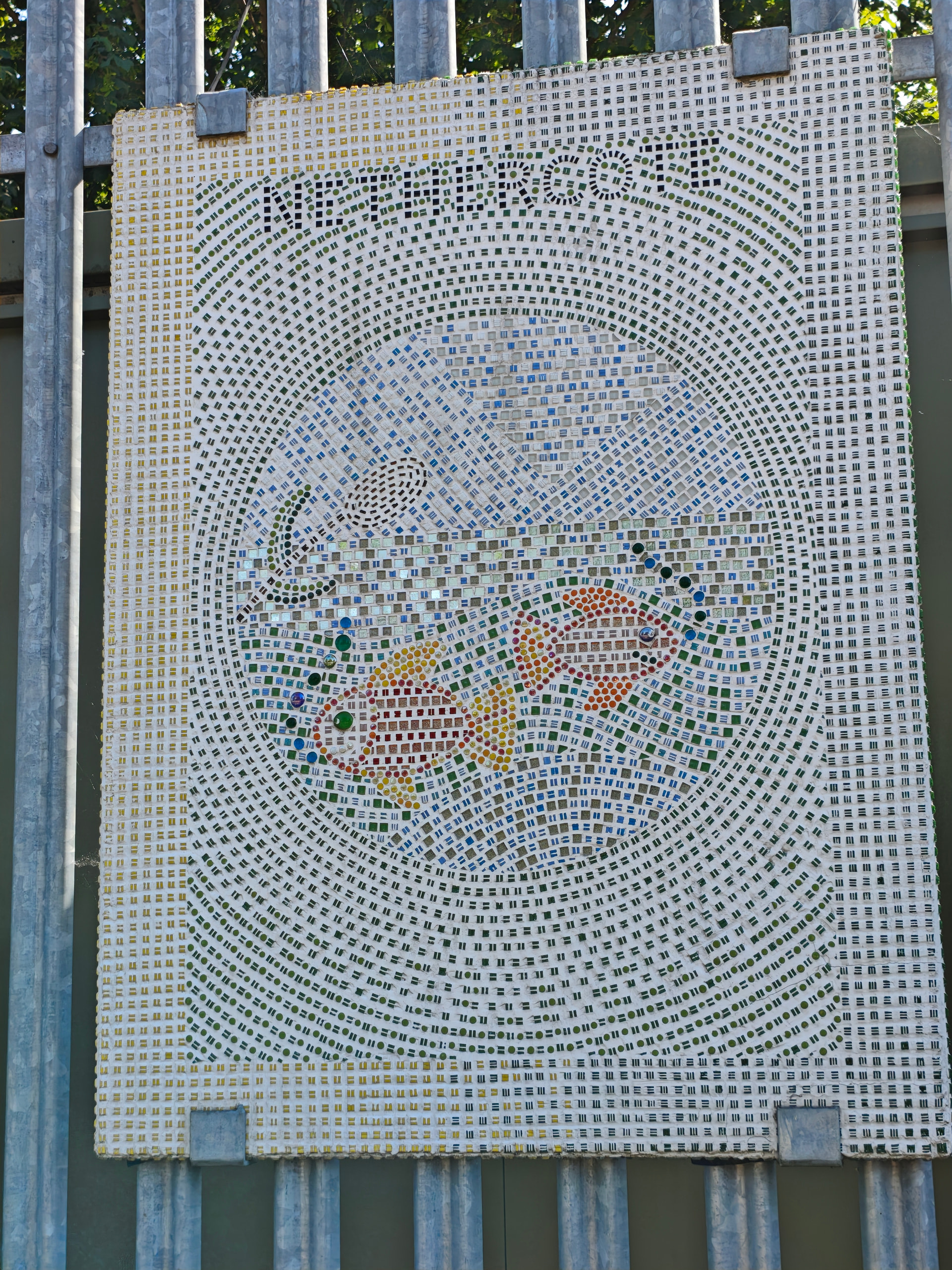
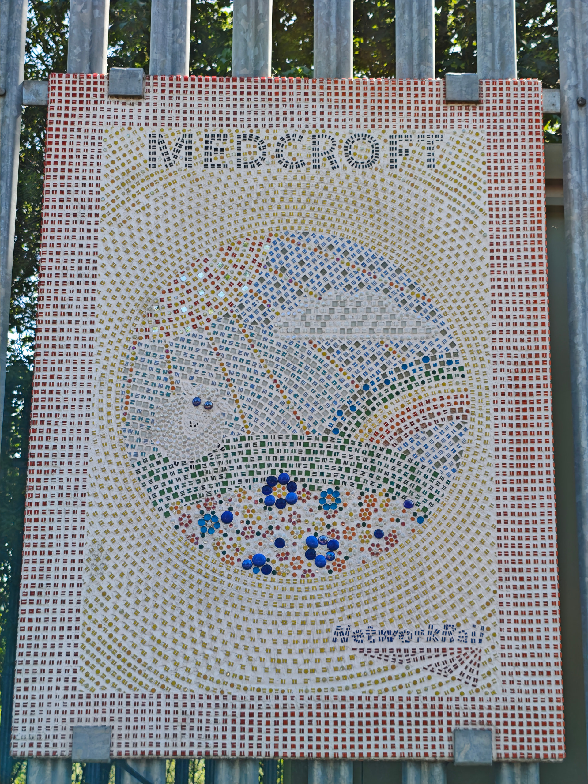
In the station there’s some mosaics apparently representing local villages.
Then off through the village until we reach our turning off the road.
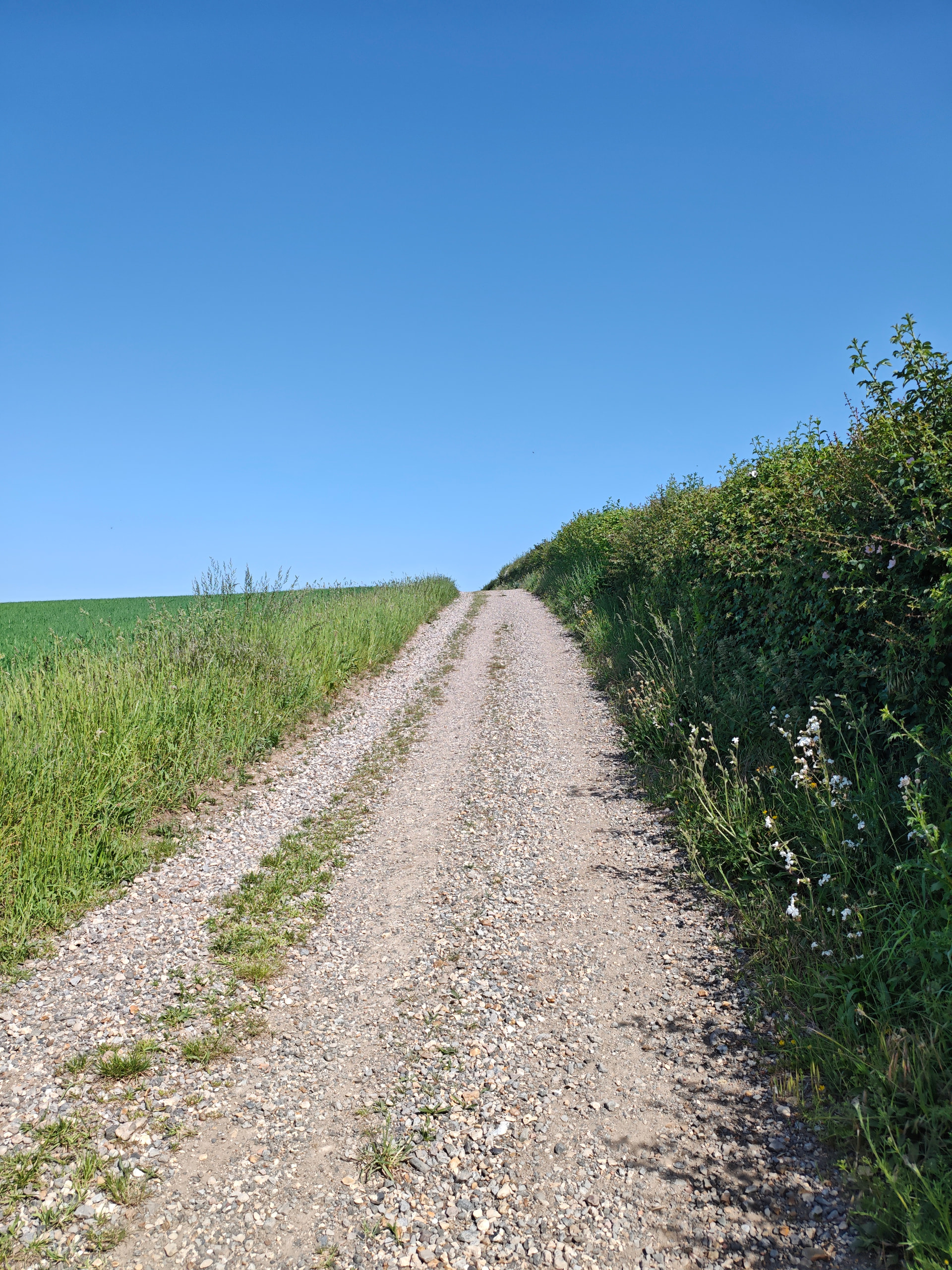
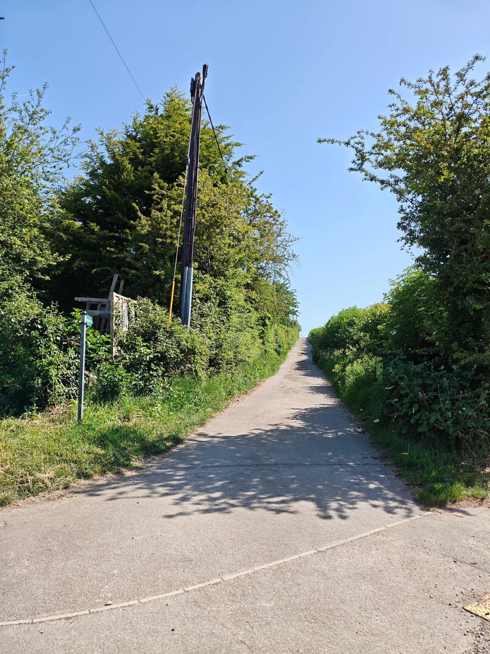
Up a short but steep hill, then turn back on to a bridleway heading back. This was about 2/3 way round and we were feeling hot at this point.
Eventually the trail runs down to a bridge over the railway and we’re nearly there.
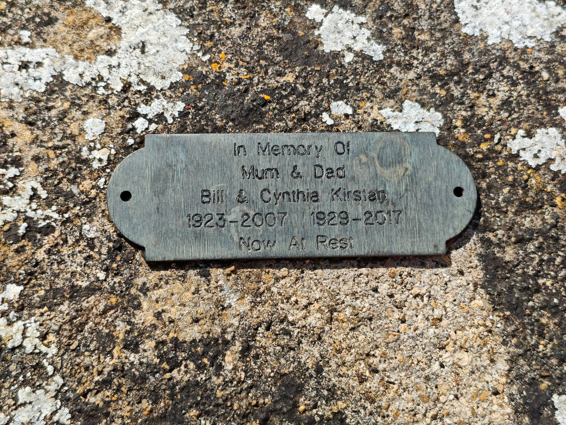
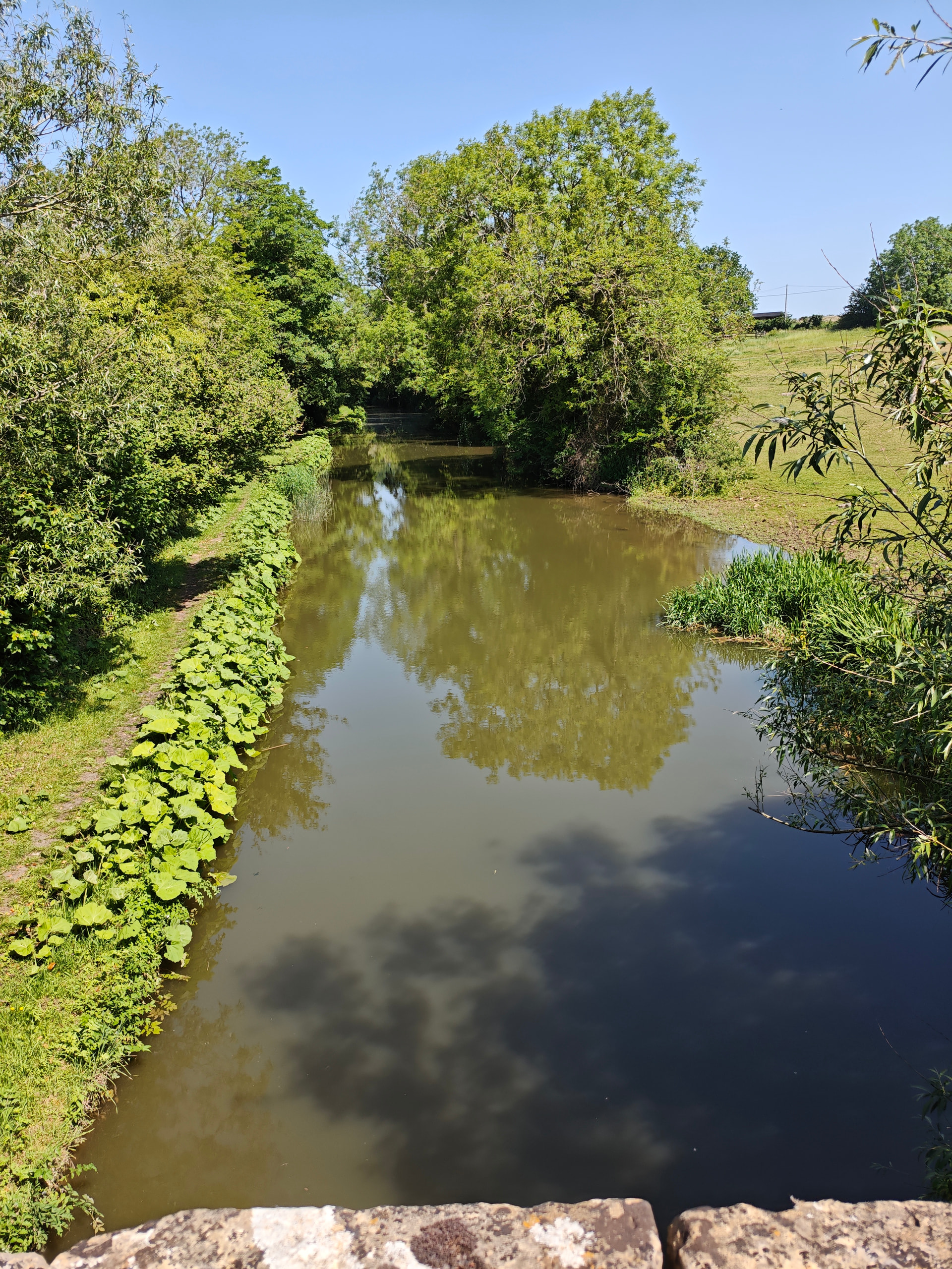
Down to the penultimate field and the medieval Northbrook bridge, where we also cross the canal back to the other side.
Finally the the field with horses and back to the car.
About 2hr 15min at our slow pace.
Well done you!
My wife took Gigi for a walk along the river at about 8 this morning, but otherwise it’s a day for staying indoors, where it’s deliciously cool and an incentive to catch up on DIY.
Is there a recent photo of Gigi
please?
Lovely photos  … but I’m exhausted, all that walking in this heat
It was about 28 when we finished, but over 30 outside now, I think. House is 22 inside. 
Your photos (nice) remind me of the bits I walked in Essex - plenty of horses there also. The lock looks quite narrow - which canal is that? and is it just 6’ barges, or can you get 12’ through ?
Remember the rain - and thank the weather gods for a nice day for your walk! 
This is the North Oxfordshire canal. 6 foot barges and boats only.