That is really useful. It took me a long time to get it right. Experience is invaluable. I liked his satellite detecting gizmo. I do wonder how effective it is because the satellite positions are constantly changing. Keep us posted please.
I thought satellites were geo stationary?
No, I think you are thinking of tv type satellites. Gps types wizz round twice a day in different directions. You need 4 of them for a good fix so in theory you can always get a good position. There are 4 sytems up there, USA, EU. Russia, China so when choosing a receiver get one that combines all four systems e. g. Mammotion
Ok, I will take a look on my car navigation as that can show which satellites are being used, I looked when I installed it and it had found 16!
My car only uses GPS (the USA GNSS}. However, if I connect to Waze via android auto, that uses all Four GNSS systems.
Car navigation is different because it assumes your position is on a road and corrects accordingly and uses dead reckoning through tunnels, hence no need for RTK
1 Like
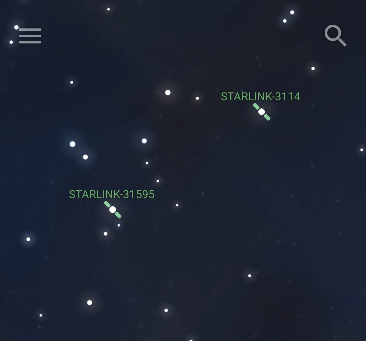
My DJI drone’s GPS requires a minimum of 7-10 and is happiest with 12 or more.
1 Like
My first drone was a DIY Mikrocopter. It did not have GPS. You actually had to fly it and it was a nightmare.
Before that I took aerial photos using a kite and radio controlled camera.
Yes GPS does help a lot - especially when you fly the thing further away than you can see clearly, which is surprisingly easy to do!
I started with a (French) Parrot drone which worked well and had GPS, but had no collision avoidance so you had to keep well clear of trees.
I still have it but can’t really use it as it weighs 380g so is in a higher category with stricter flight regulations.
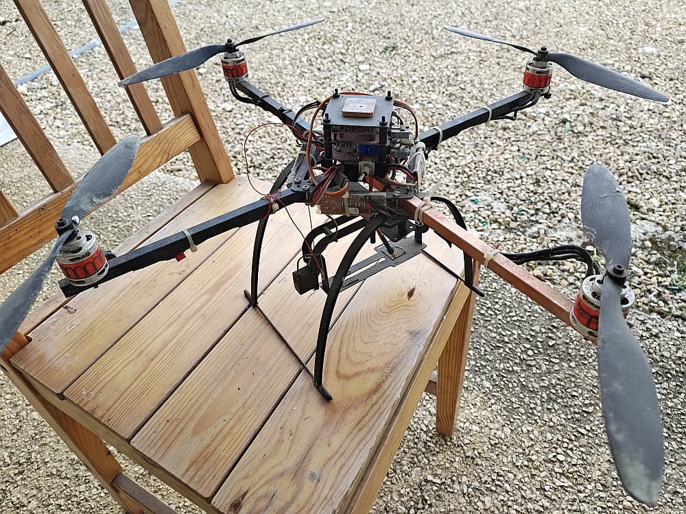
This is my original Mikrokopter. It would not be out of place in a museum. It weighs more than 380 gms BEFORE you put your own camera in the pan and tilt unit underneath!
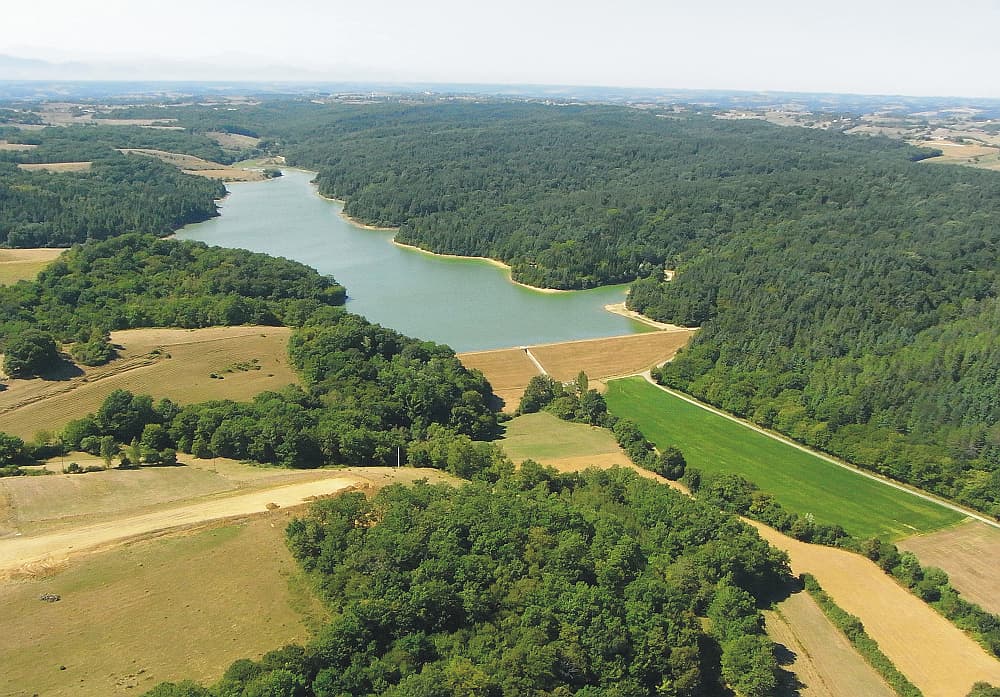
The following photo was taken from a conventional kite using a camera in a DIY, RC controlled, pan and tilt unit mounted in a special self levelling pulley arrangement.
2 Likes
Yes once upon a time in a Galaxy Far Far Away you could fly anything you liked anywhere…
Nowadays it’s really only the sub-250g drones that can be flown without lots of restrictions (and certification), and even with those you are still limited, all thanks to the selfish pillocks who spoiled it for the rest of us by flying irrresponsibly.
2 Likes
A chap in my local park was flying his new toy which operates to a max altitude of 120m all the usual return to operator features. My first was also devoid of any tech but I got it 2nd hand from a guy who bought a DJI with all its features
Today, I achieved my goal. I sat on the balcony with my glass of wine and said “Alexa, mow the lawn” and out pops my little Luba and starts cutting.
A total waste of time to set up. A totally trivial way to use technology. But it DID make me smile. 
5 Likes
Precisely, its the sitting and watching it cut whilst you could be actively cutting it yourself or getting on with something else 
1 Like
Hi @Mik_Bennett , did you go for the iNavi subscription (4G connection) as well, that is now being rolled out with the Luba (and Yuka) ? Or are you just sticking with WiFi ? My understanding of iNavi is that it removes the requirement for a RTK reference antenna.
The iNavi came already fitted with a free subscription to the end of the year. After that, I understand that it costs €50 p.a.
I have not yet tried it. There is a toggle to switch between antenna and web for RTK corrections. My RTK location is working well now so I dont think I will change but it is on my list of things to test.
Word of warning, if you move your RTK antenna you have to remap all your lawn.
Handy Hint, just map a small patch of grass until you are happy with the position of base station and RTK also to test how the various settings work.
Review conclusion, more fun than a game boy, more frustrating than IKEA furniture.
3 Likes
Robot ordered - should be here in 2-3 weeks.
3 Likes
Assuming it can navigate its way to your house. 
3 Likes
Its ok, they know a short cut
3 Likes
But thats cutting corners